
©


Nantes › South-west: Tour de Bretagne
před 13 minutami
Vzdálenost: 0.2 km

La Chapelle-sur-Erdre › West: Contournement Nord de Nantes
před 23 minutami
Vzdálenost: 5.7 km

Nantes: Nantes Nord: Contournement Nord de Nantes
před 24 minutami
Vzdálenost: 5.9 km

Indre › North-west: Quai Besnard
před 6 minutami
Vzdálenost: 9.3 km

Indre: Bac de Loire : Basse Indre > Indret
před 15 minutami
Vzdálenost: 9.5 km

Carquefou: Nantes-A11 près de Nantes vue orientée vers la périphérie de Nantes
před 20 minutami
Vzdálenost: 10.1 km

La Chevroliere: Ornithological Observatory Lac de Grand-Lieu - Lac de Grand-Lieu
před 14 minutami
Vzdálenost: 14.8 km

Le Pellerin › East: Embarcadère bac Le Pellerin
před 6 minutami
Vzdálenost: 15.7 km

Le Pellerin: Embarcadère bac Le Pellerin
před 14 minutami
Vzdálenost: 15.7 km

Saint-Lumine-de-Coutais
před 34 minutami
Vzdálenost: 22.2 km

Montaigu-Vendee: Montaigu-Saint-Georges Airport
před 14 minutami
Vzdálenost: 36.1 km
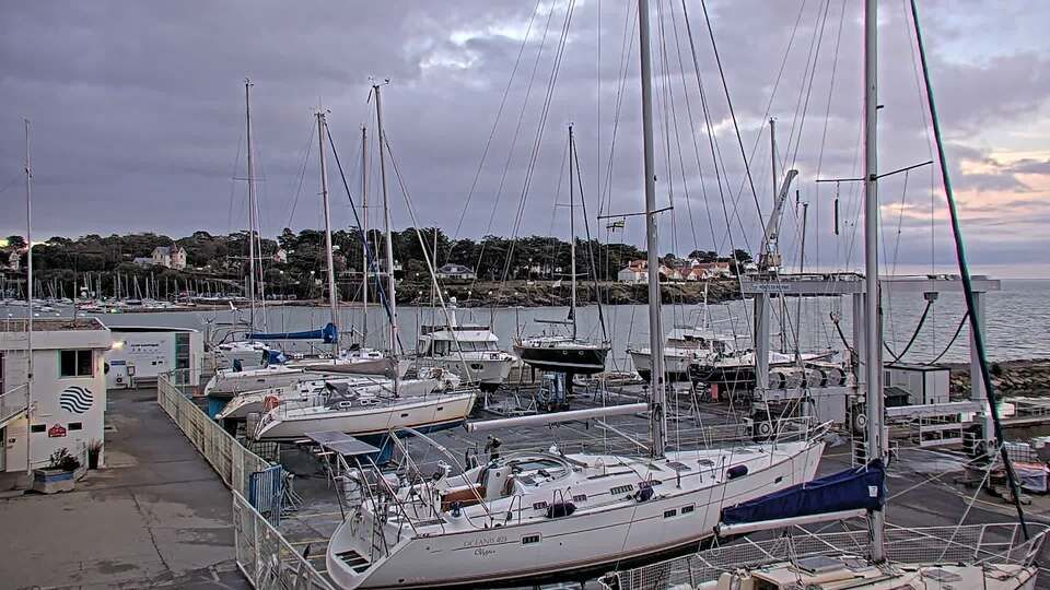
Pornic › South: Port de plaisance de noëveillard
před 13 minutami
Vzdálenost: 43.7 km
Přidat novou webkameru
Webcams provided by windy.com
⨯
Teplota
Srážky
Historie
Předpověď
Beta: Meteogram not yet implemented
Naměřená data jsou neupravené hodnoty. Na údaje o teplotě a srážkách mohou mít vliv budovy a další infrastruktura. Naměřená data poskytuje .