©


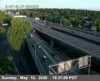
Sacramento › Norden: Hwy 5 NB at W St slip on ramp
vor 6 Minuten
Entfernung: 1.9 km
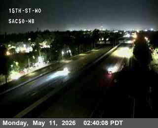
Sacramento › Westen: Hwy 50 at 15th St
vor 5 Minuten
Entfernung: 1.9 km
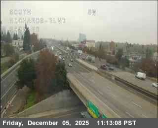
Sacramento › Norden: Hwy 5 at Richards
vor 6 Minuten
Entfernung: 2 km
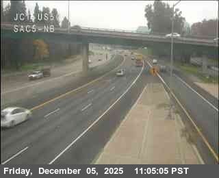
Sacramento › Norden: Hwy 5 at Hwy 50
vor 5 Minuten
Entfernung: 2 km
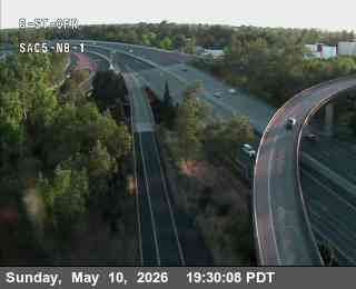
Sacramento › Norden: Q_St_Ofr_SAC5_NB_1
vor 3 Minuten
Entfernung: 2.2 km
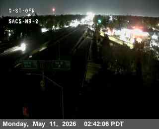
Sacramento › Norden: Q_St_Ofr_SAC5_NB_2
vor 4 Minuten
Entfernung: 2.2 km
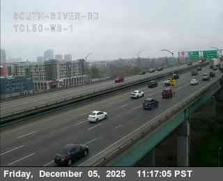
West Sacramento › Osten: Hwy 50 at South River Rd 1
vor 1 Stunde
Entfernung: 2.4 km
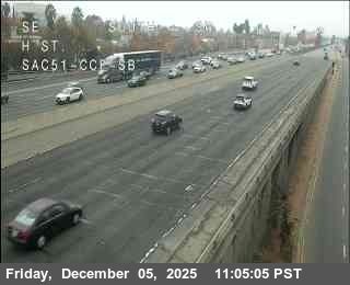
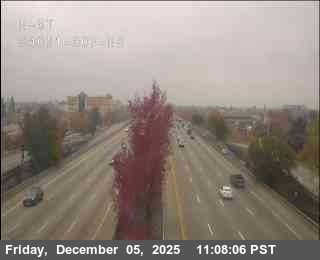
Sacramento: Hwy 51 at H St
vor 3 Minuten
Entfernung: 2.5 km
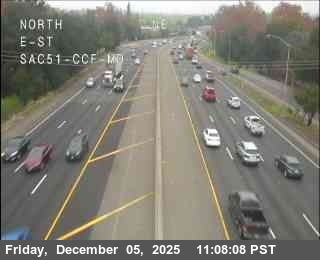
Sacramento: Hwy 51 at E St
vor 2 Minuten
Entfernung: 2.6 km
Sacramento: Hwy 51 at N St
vor 4 Minuten
Entfernung: 2.6 km
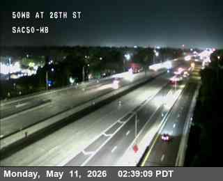
Sacramento › Westen: 26th_St_SAC50_WB
vor 6 Minuten
Entfernung: 2.8 km
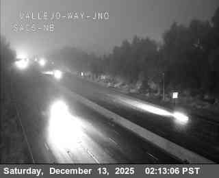
Sacramento › Norden: Hwy 5 at Vallejo
vor 4 Minuten
Entfernung: 3 km
Webcam hinzufügen
Webcams provided by windy.com
⨯
°C
Temperatur
mm
Niederschlag
Historie
Vorhersage
Beta: Meteogram not yet implemented
Bei diesen Messungen handelt es sich um Rohdaten. Temperatur- und Niederschlagsdaten können durch Gebäude und andere Infrastruktur beeinflusst sein. Messdaten zur Verfügung gestellt von .