20 min
20 min
Are you a hiker? Join us for a video call to test our new Hiking Planner.
Book a timeslot

Temperature map for Vancouver

© OpenStreetMap contributors
©
meteoblue webcams
Webcams
meteoblue
Learn more
Embed and share
Vancouver
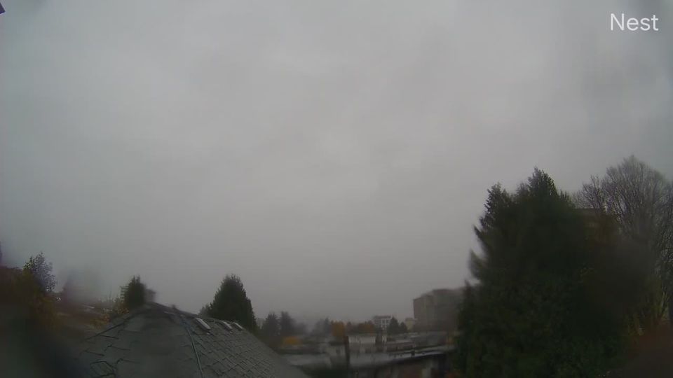
Vancouver › East: Fairview - South Cambie - Mount Pleasant - East Vancouver
11 minutes ago
Distance: 1.2 km
Vancouver
Vancouver › North: Vancouver General Hospital - Fairview - False Creek - South Cambie - Mount Pleasant
9 minutes ago
Distance: 1.2 km
Vancouver
Vancouver: West End › West
3 minutes ago
Distance: 4 km
Vancouver
Vancouver: Marpole › North: Oak Street at 70 Avenue, north approach to Oak Street Bridge, looking north on Oak Street
9 minutes ago
Distance: 4.7 km
Vancouver
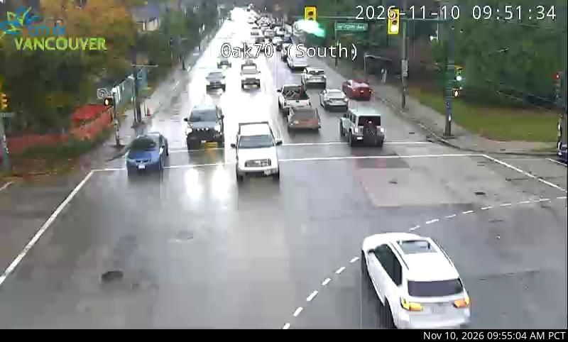
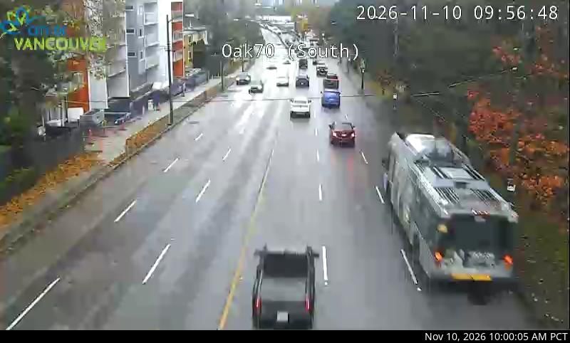
Vancouver: Marpole › South: Oak Street at 70 Avenue, north approach to Oak Street Bridge, looking south to the bridge
11 minutes ago
Distance: 4.7 km
Vancouver
Vancouver › South: Georgia Street at Chilco, looking south
11 minutes ago
Distance: 5.1 km
Vancouver
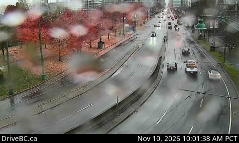
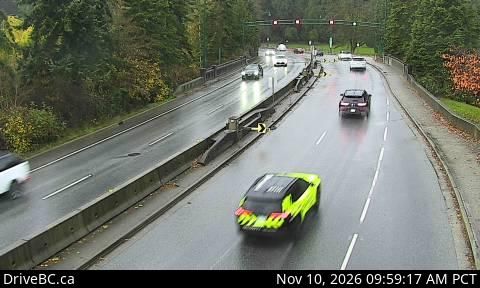
Vancouver › North: Stanley Park Causeway at Stanley Park entrance, looking north
11 minutes ago
Distance: 5.3 km
Vancouver
Vancouver › South: Knight Street Bridge - Mitchell Island
11 minutes ago
Distance: 5.3 km
Vancouver
Vancouver: Stanley Park
2 hours ago
Distance: 6.3 km
Vancouver
Vancouver
12 minutes ago
Distance: 6.6 km
Vancouver
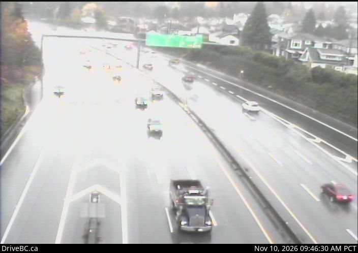
Vancouver › North: Highway 1 at south end of Cassiar Tunnel entrance, looking north
12 minutes ago
Distance: 7 km
Vancouver
Vancouver › South: Highway 1 at the Cassiar Tunnel south end, looking south
11 minutes ago
Distance: 7.1 km