©


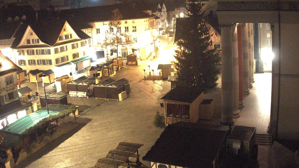
Stadt Dornbirn: Marktplatz
hace 2 minutos
Distancia: 0 km
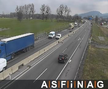
Stadt Dornbirn: Schoren: VK_A14_018,583-V0-FL
hace 2 minutos
Distancia: 2.9 km
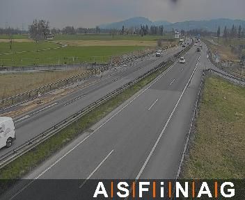
Stadt Dornbirn: VK_A14_019,800-V0-FL
hace 7 minutos
Distancia: 4 km
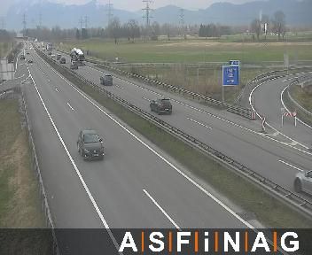
Stadt Dornbirn: VK_A14_019,800-F1-FL
hace 2 minutos
Distancia: 4 km

Marktgemeinde Wolfurt: VK_A14_013,640-V0-FL
hace 2 minutos
Distancia: 4.2 km
Stadt Hohenems › Norte: Hohenems-Dornbirn Airport
hace 1 minuto
Distancia: 4.7 km
Stadt Hohenems › Sureste: Hohenems-Dornbirn Airport
hace 7 minutos
Distancia: 4.9 km
Gemeinde Schwarzenberg › Este: Bödele Passhöhe - Hotel Berghof Fetz - Bödelestraße - Niedere - Kanisfluh - Diedamskopf - Großer Widderstein
hace 7 minutos
Distancia: 5.1 km
Marktgemeinde Lauterach: VK_A14_012,430-V0-FL
hace 2 minutos
Distancia: 5.3 km
Marktgemeinde Lauterach: VK_A14_012,430-F2-FL
hace 3 minutos
Distancia: 5.3 km
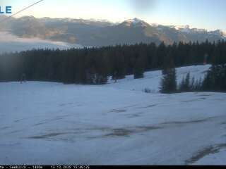
Gemeinde Schwarzenberg › Noreste: Bödele - Schwarzenberg
hace 7 minutos
Distancia: 5.3 km
Gemeinde Schwarzenberg › Noreste
hace 58 minutos
Distancia: 5.3 km
Agregar nueva webcam
Webcams provided by windy.com
⨯
Temperatura
Precipitación
Historia
Previsión
Beta: Meteogram not yet implemented
Los datos de mediciones son valores brutos. Los datos de temperatura y precipitación pueden verse influenciados por los edificios y otras infraestructuras. Datos de mediciones proporcionados por .