After introducing high- resolution satellite images for Europe and Africa, they are now available worldwide: for the Americas, Asia and Oceania - and oceans. All images are now updated in real-time every 5 minutes and show the cloud cover development in 15 minutes time-steps for the past 2 hours.
You can check our Satellite images for cloud cover by just scrolling down on our home page, and on the page Current Weather and use the navigation bar at the bottom of the image to stop, play or open the images in full screen. You can also zoom in and out using + and - at the top-left corner. In some regions, the first timesteps include precipitation amounts - the last timesteps usually do only show clouds, because precipitation observations are less frequently updated. We are working on a better solution with our new - soon to come - webpage.

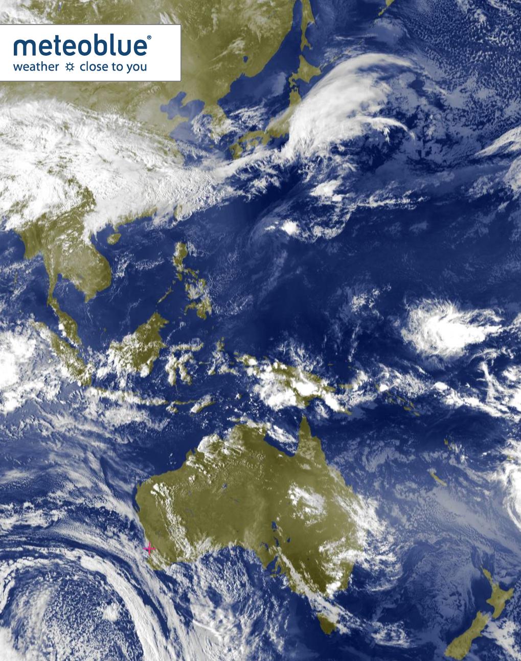
meteoblue is proud to be one of the first to make the highest-resolution cloud cover satellite images available worldwide to the general public. If you have further suggestions for improvement or know of other examples of providing even better high-resolution satellite images, please write us.
