© OpenStreetMap contributors
©


Nantes › Sud-ovest: Tour de Bretagne
21 ore fa
Distanza: 0.2 km
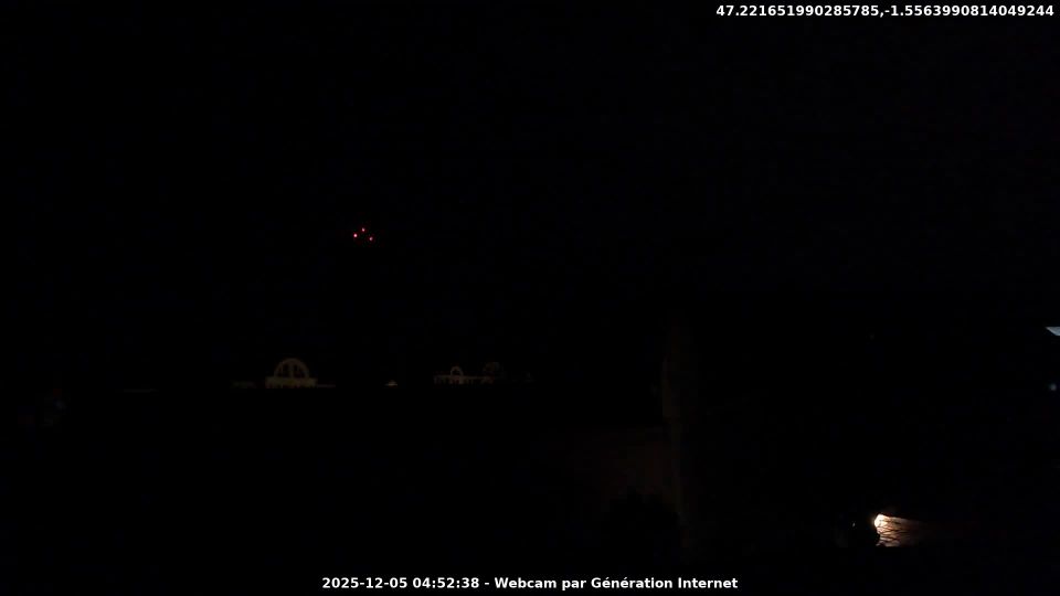
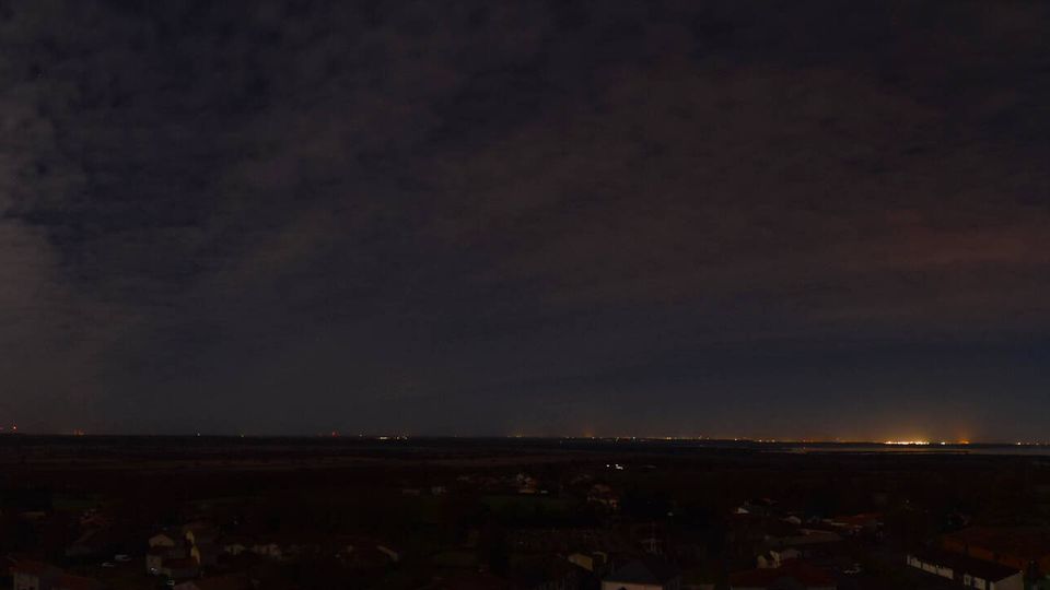
Nantes: Nantes Nord: Contournement Nord de Nantes
17 minuti fa
Distanza: 5.9 km
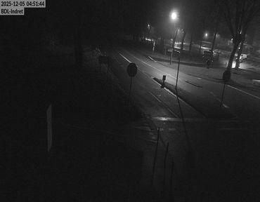
Indre › Nord-ovest: Quai Besnard
7 minuti fa
Distanza: 9.3 km
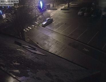
Indre: Bac de Loire : Basse Indre > Indret
1 minuto fa
Distanza: 9.5 km
Carquefou › Ovest: Ouest Decoupe
10 minuti fa
Distanza: 10 km
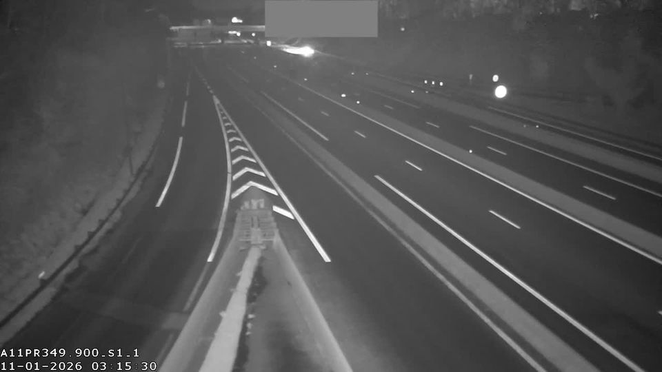
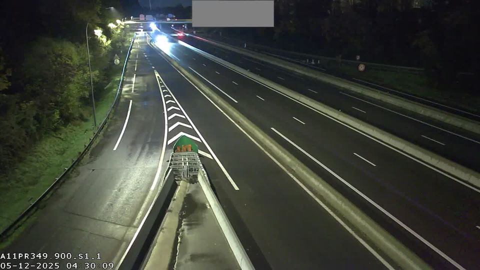
Carquefou: Nantes-A11 près de Nantes vue orientée vers la périphérie de Nantes
7 minuti fa
Distanza: 10.1 km
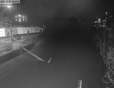
Le Pellerin › Est: Embarcadère bac Le Pellerin
1 minuto fa
Distanza: 15.7 km
Le Pellerin: Embarcadère bac Le Pellerin
7 minuti fa
Distanza: 15.7 km
Saint-Lumine-de-Coutais
24 minuti fa
Distanza: 22.2 km
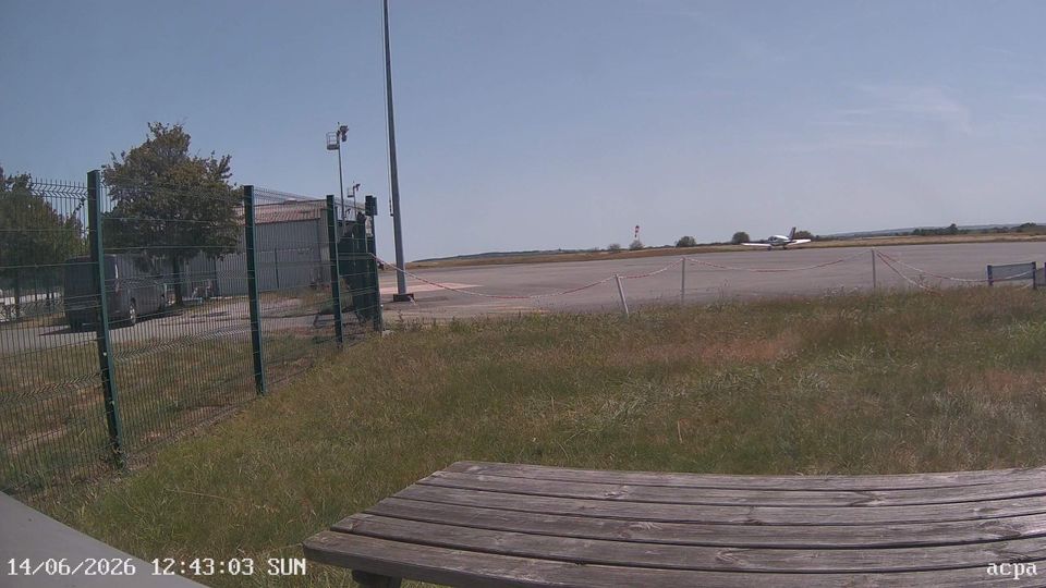
Ancenis-Saint-Gereon › Sud-est: Société d'Exploitation de l'Aéroport du Pays d'Ancenis
7 minuti fa
Distanza: 34.7 km
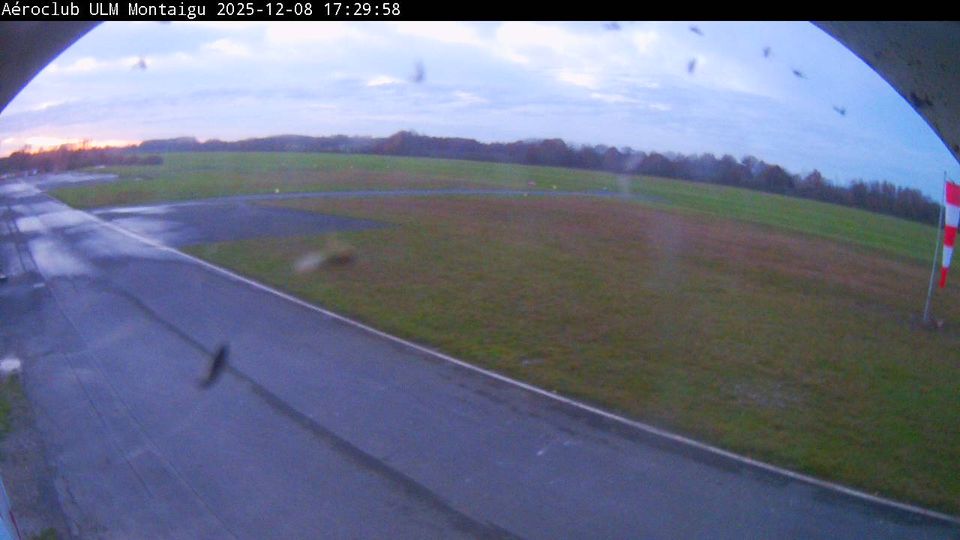
Montaigu-Vendee: Montaigu-Saint-Georges Airport
6 minuti fa
Distanza: 36.1 km
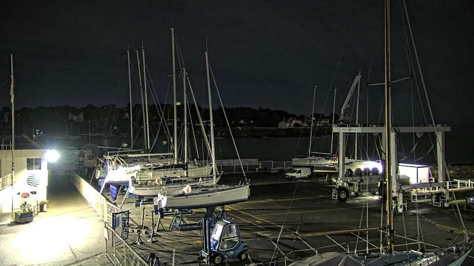
Pornic
10 minuti fa
Distanza: 43.8 km
Aggiungere una nuova webcam
Webcams provided by windy.com
⨯
Temperatura
Precipitazioni
Storia
Previsione
Beta: Meteogram not yet implemented
I dati misurati sono valori grezzi. I dati di temperatura e precipitazioni possono essere influenzati da edifici e altre infrastrutture. Dati di misurazione forniti da .