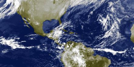
Our satellite images have been updated to include imagery from the new GOES-16 satellite, operated by the U.S. National Oceanic and Atmospheric Administration.
The new features include:
- 15 minutes updates
- Images with 1 km resolution
- Coverage for both North America and South America
- A combination of infrared and visible channels to provide day and night time coverage
During night time, low clouds might be invisible.
You can find the satellite images on our homepage for any location on the American continent, for example for Lima in Peru.


