©


The Nation › Zachód: Highway 417 at Nation River Bridge, Looking West
7 minut temu
Odległość: 0.8 km
The Nation: Highway 417 at Nation River Bridge, Looking Down
8 minut temu
Odległość: 2 km

Unorganized North Algoma › Wschód: Highway 556 at Highway 532 (1), Looking East
8 minut temu
Odległość: 6.9 km

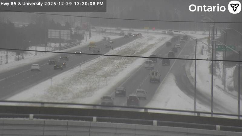
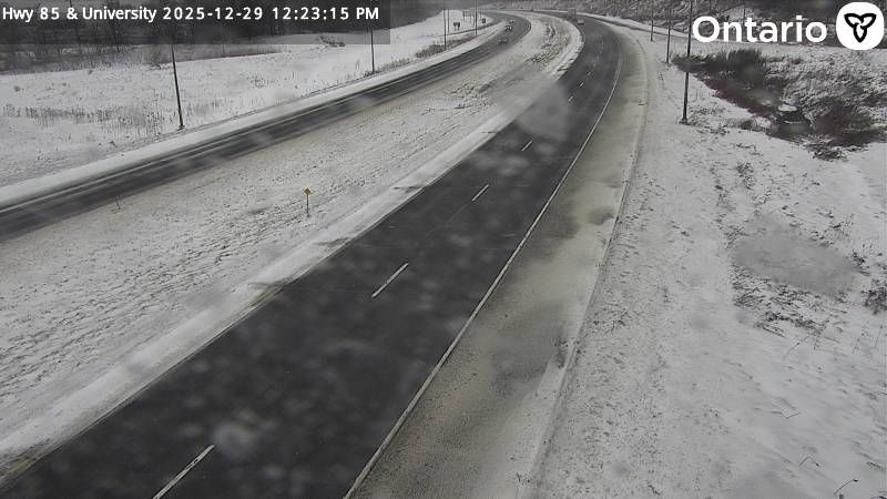
Waterloo › Północ: Highway 85 at University Avenue East, Looking North
17 minut temu
Odległość: 6.9 km
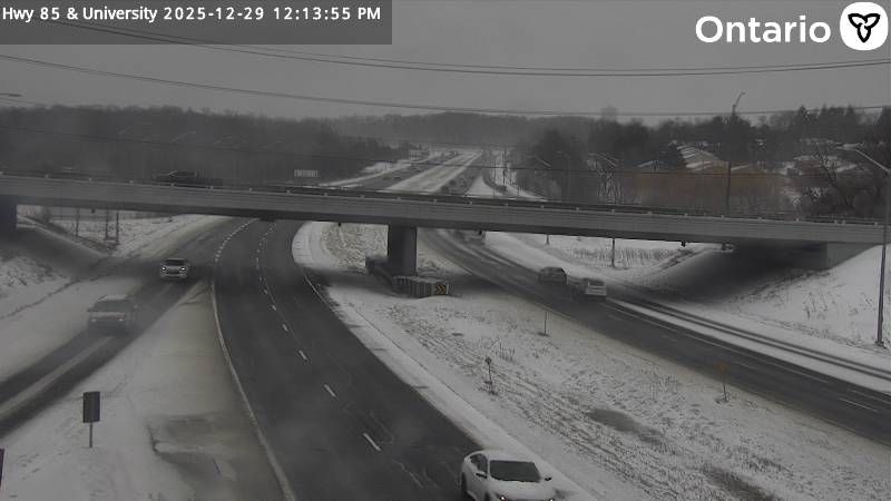
Waterloo › Południe: Highway 85 at University Avenue East, Looking South
15 minut temu
Odległość: 6.9 km
Waterloo › Południe: Highway 85 at University Avenue East, Looking South
17 minut temu
Odległość: 6.9 km

Waterloo › Południe: Highway 85 at University Avenue East, Looking South
8 minut temu
Odległość: 6.9 km

Waterloo › Południe: Highway 85 at University Avenue East, Looking South
14 minut temu
Odległość: 6.9 km
Waterloo › Północ: Highway 85 at University Avenue East, Looking North
17 minut temu
Odległość: 6.9 km
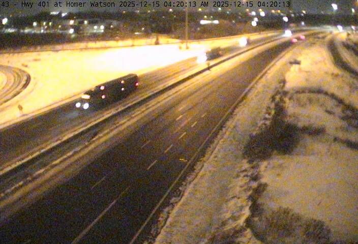
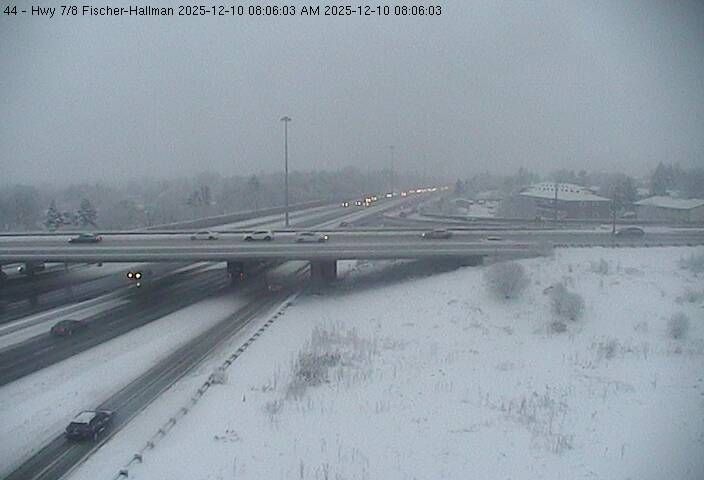
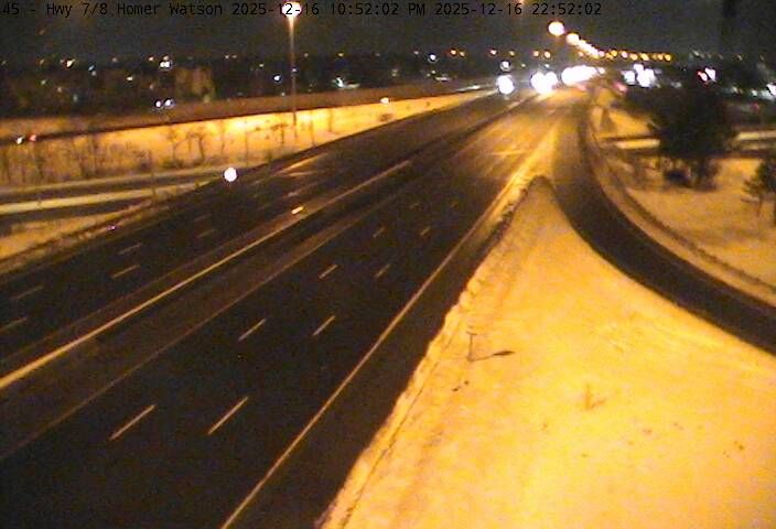
Kitchener: Doon: Highway 401 near Homer Watson Blvd
7 minut temu
Odległość: 9.7 km

Collingwood › Zachód: Highway 26 at Poplar Side Road, Looking West
7 minut temu
Odległość: 9.7 km
Waterloo › Północ: Ontario, Canada
8 minut temu
Odległość: 10.8 km
Dodaj nową kamerę internetową
Webcams provided by windy.com
⨯
°C
Temperatura
mm
Opady
Historia
Prognoza
Beta: Meteogram not yet implemented
Dane pomiarowe są surowymi wartościami. Na dane temperatury i opadów mogą wpływać budynki i inna infrastruktura. Dane pomiarowe dostarczone przez .