©


Nantes › Południowy zachód: Tour de Bretagne
3 minuty temu
Odległość: 0.2 km
La Chapelle-sur-Erdre: Contournement Nord de Nantes
1 minuta temu
Odległość: 5.7 km
Nantes: Nantes Nord: Contournement Nord de Nantes
1 minuta temu
Odległość: 5.9 km
Indre › Północny zachód: Quai Besnard
9 minut temu
Odległość: 9.3 km
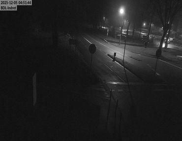
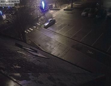
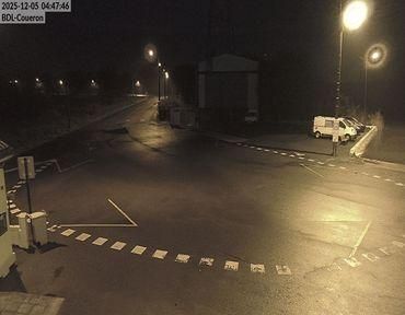
Indre: Bac de Loire : Basse Indre > Indret
3 minuty temu
Odległość: 9.5 km
Carquefou › Zachód: Ouest Decoupe
9 minut temu
Odległość: 10 km
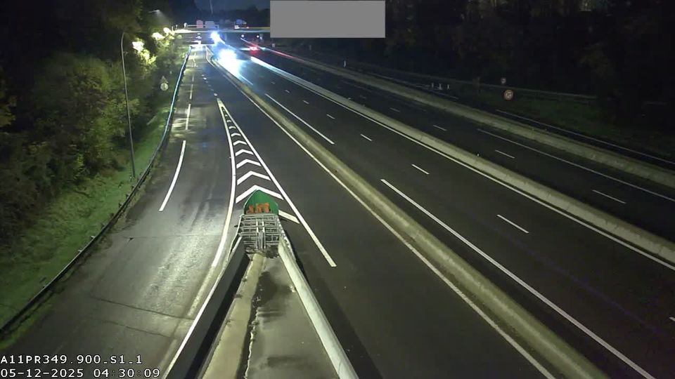
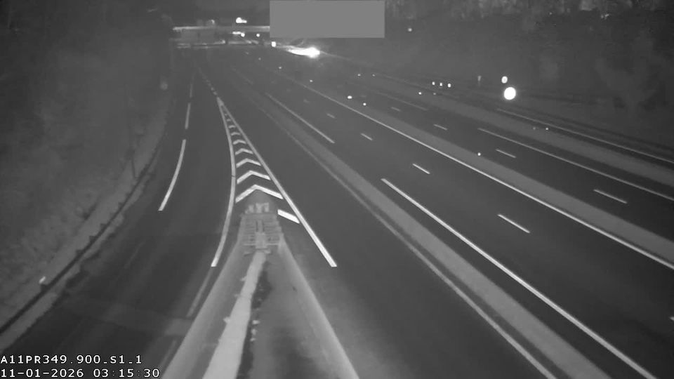
Carquefou: Nantes-A11 près de Nantes vue orientée vers la périphérie de Nantes
1 minuta temu
Odległość: 10.1 km
Le Pellerin › Wschód: Embarcadère bac Le Pellerin
2 minuty temu
Odległość: 15.7 km
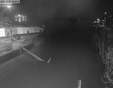
Le Pellerin: Embarcadère bac Le Pellerin
8 minut temu
Odległość: 15.7 km
Saint-Lumine-de-Coutais
24 minuty temu
Odległość: 22.2 km
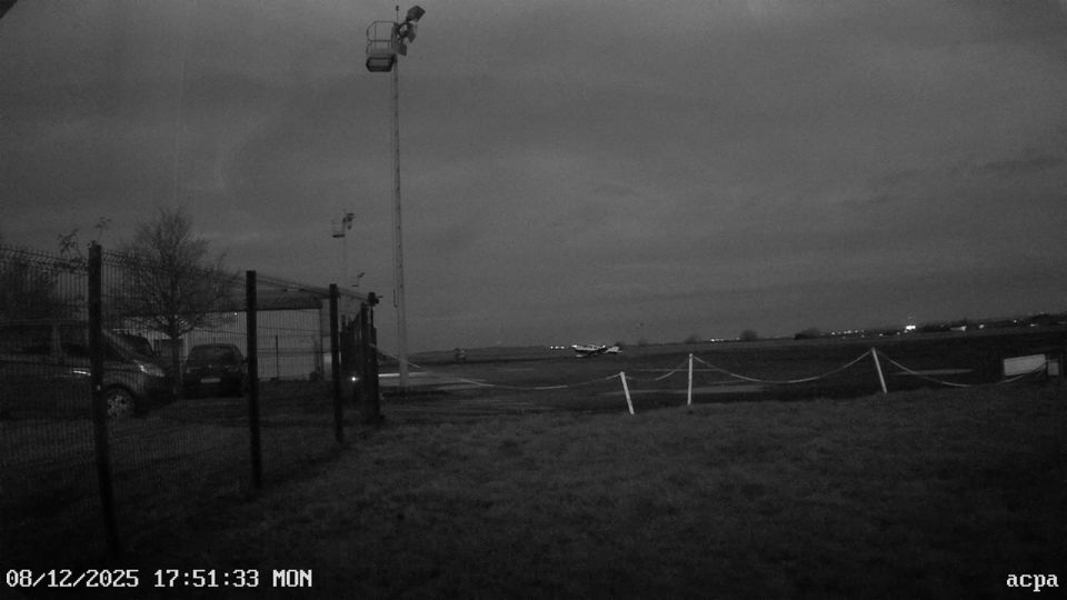
Ancenis-Saint-Gereon › Wschód: Aéroclub du Pays d'Ancenis
20 minut temu
Odległość: 34.7 km
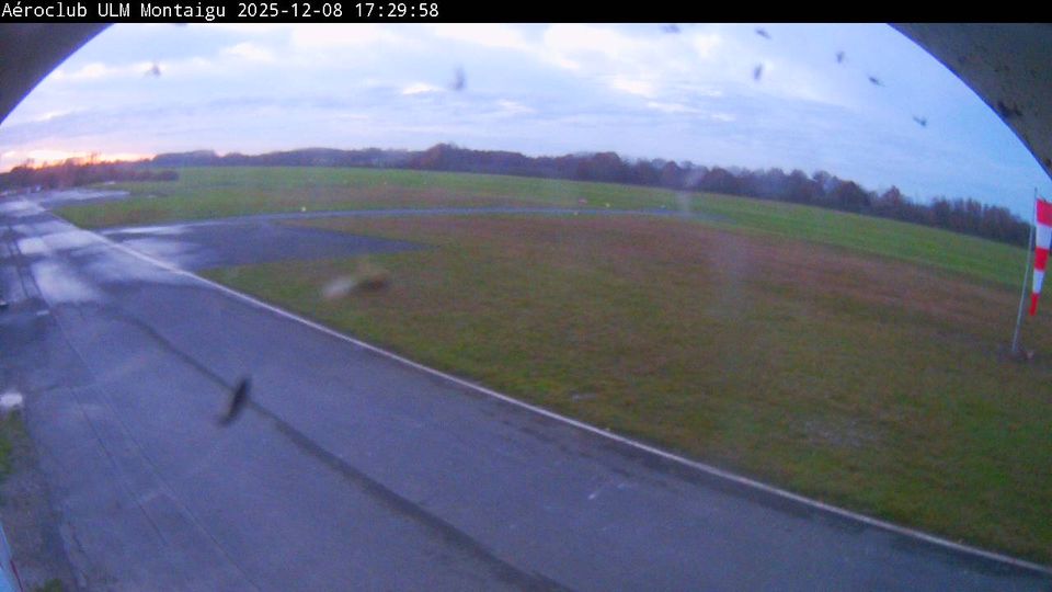
Montaigu-Vendee: Montaigu-Saint-Georges Airport
2 minuty temu
Odległość: 36.1 km
Dodaj nową kamerę internetową
Webcams provided by windy.com
⨯
°C
Temperatura
mm
Opady
Historia
Prognoza
Beta: Meteogram not yet implemented
Dane pomiarowe są surowymi wartościami. Na dane temperatury i opadów mogą wpływać budynki i inna infrastruktura. Dane pomiarowe dostarczone przez .