©


Schwyz › Zachód: Talkessel
1 minuta temu
Odległość: 1.1 km
Schwyz › Północny zachód: Schwyz - Mythen
6 minut temu
Odległość: 1.3 km
Schwyz: Rotenfluebahn - Mythen
6 minut temu
Odległość: 3.7 km
Ingenbohl › Północny wschód: Ibach - Schwyz - Rickenbach - Grosser Mythen - Kleiner Mythen - Holzegg - Haggenegg - Rothenfluh
4 minuty temu
Odległość: 3.7 km
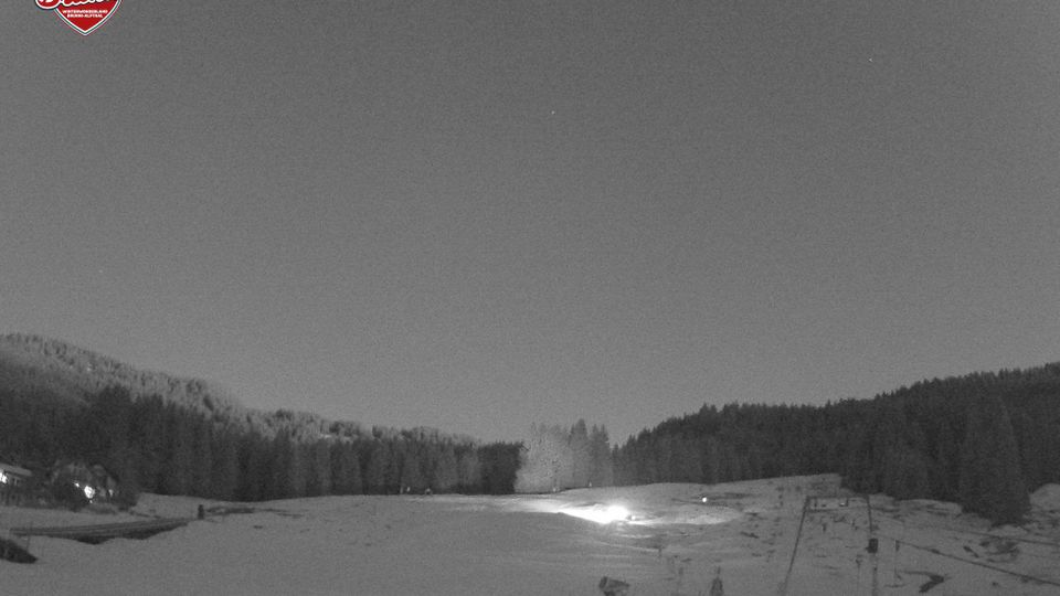
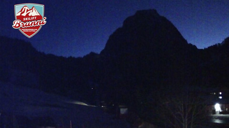
Brunni: Alpthal
4 minuty temu
Odległość: 4.5 km
Brunni: Schneetöff-Park für Kids - Grosser Mythen
4 minuty temu
Odległość: 4.5 km
Muotathal › Zachód: Schwyz, Schweiz
2 minuty temu
Odległość: 4.5 km
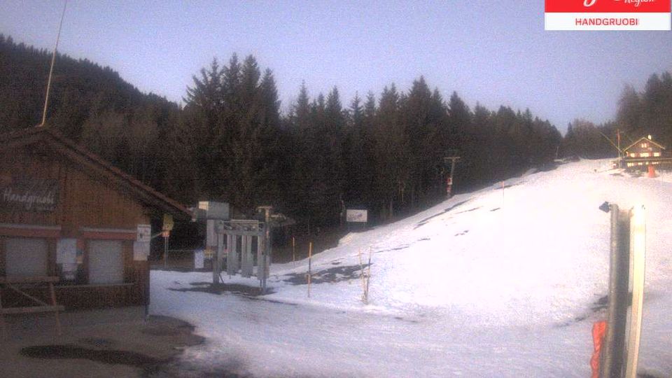
Schwyz: Mythenregion - Einsiedeln (Talstation Handgruobi)
2 minuty temu
Odległość: 4.5 km
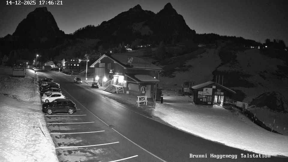
Brunni: Mythenregion Schwyz - Einsiedeln (Talstation) - Haggenegg
12 minut temu
Odległość: 4.7 km
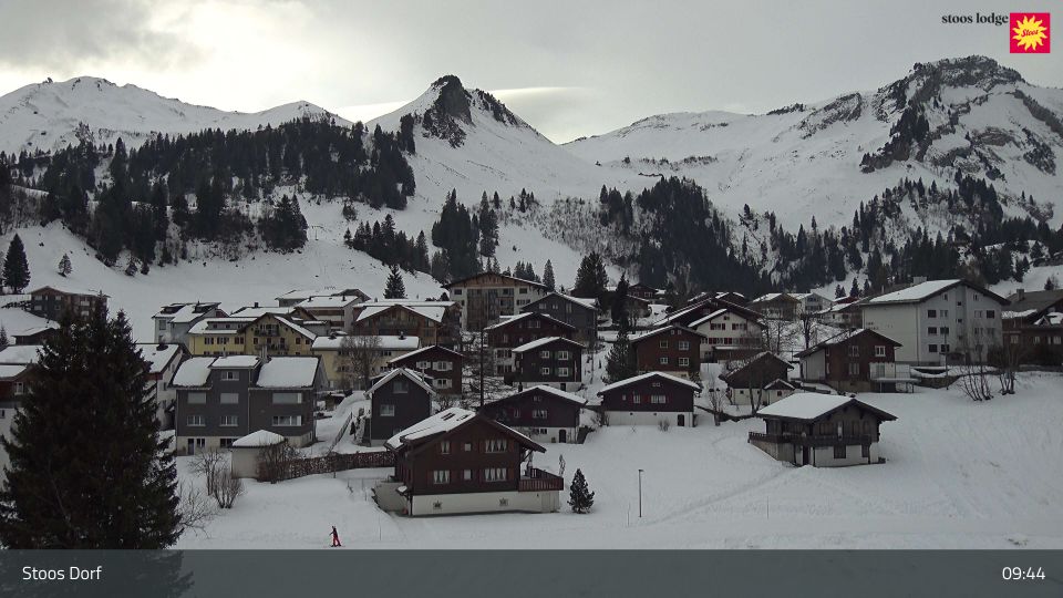
Stoos SZ: Stoos - Stoos Dorf, KLINGENSTOCK
1 minuta temu
Odległość: 4.8 km
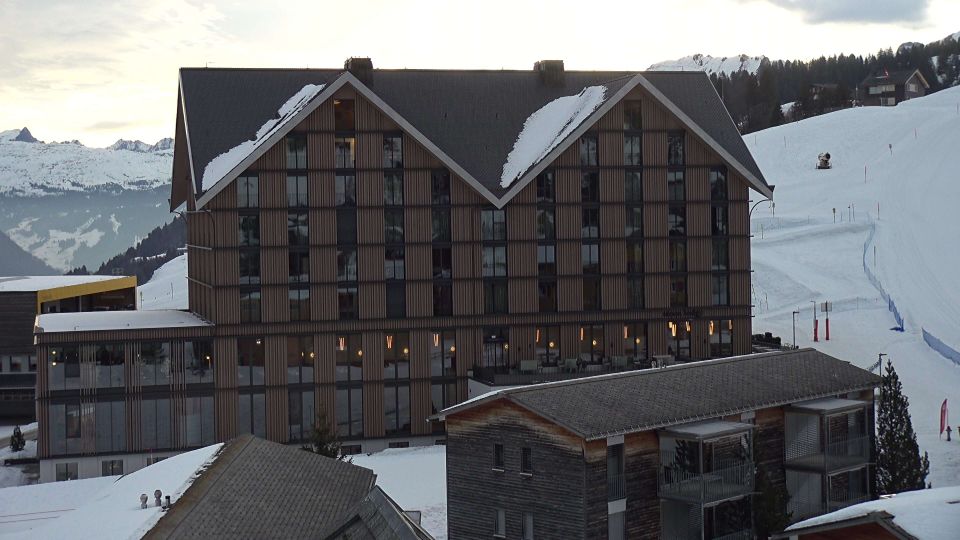
Stoos SZ: Stoos - Stoos Dorf, STOOSLODGE
6 minut temu
Odległość: 4.8 km
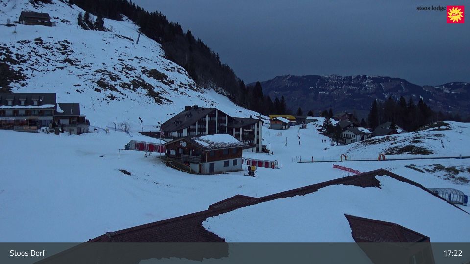
Stoos SZ: Stoos - Stoos Dorf, KINDERLAND
1 minuta temu
Odległość: 4.8 km
Dodaj nową kamerę internetową
Webcams provided by windy.com
⨯
Temperatura
Opady
Historia
Prognoza
Dane pomiarowe są surowymi wartościami. Na dane temperatury i opadów mogą wpływać budynki i inna infrastruktura. Dane pomiarowe dostarczone przez .