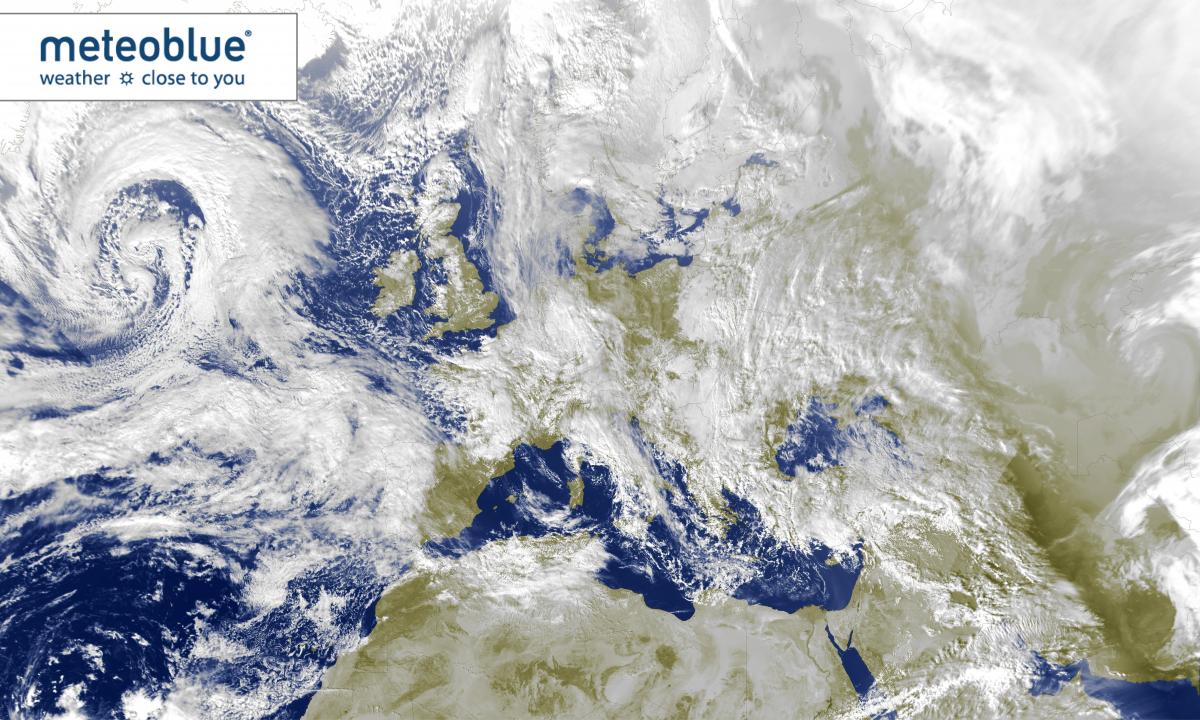
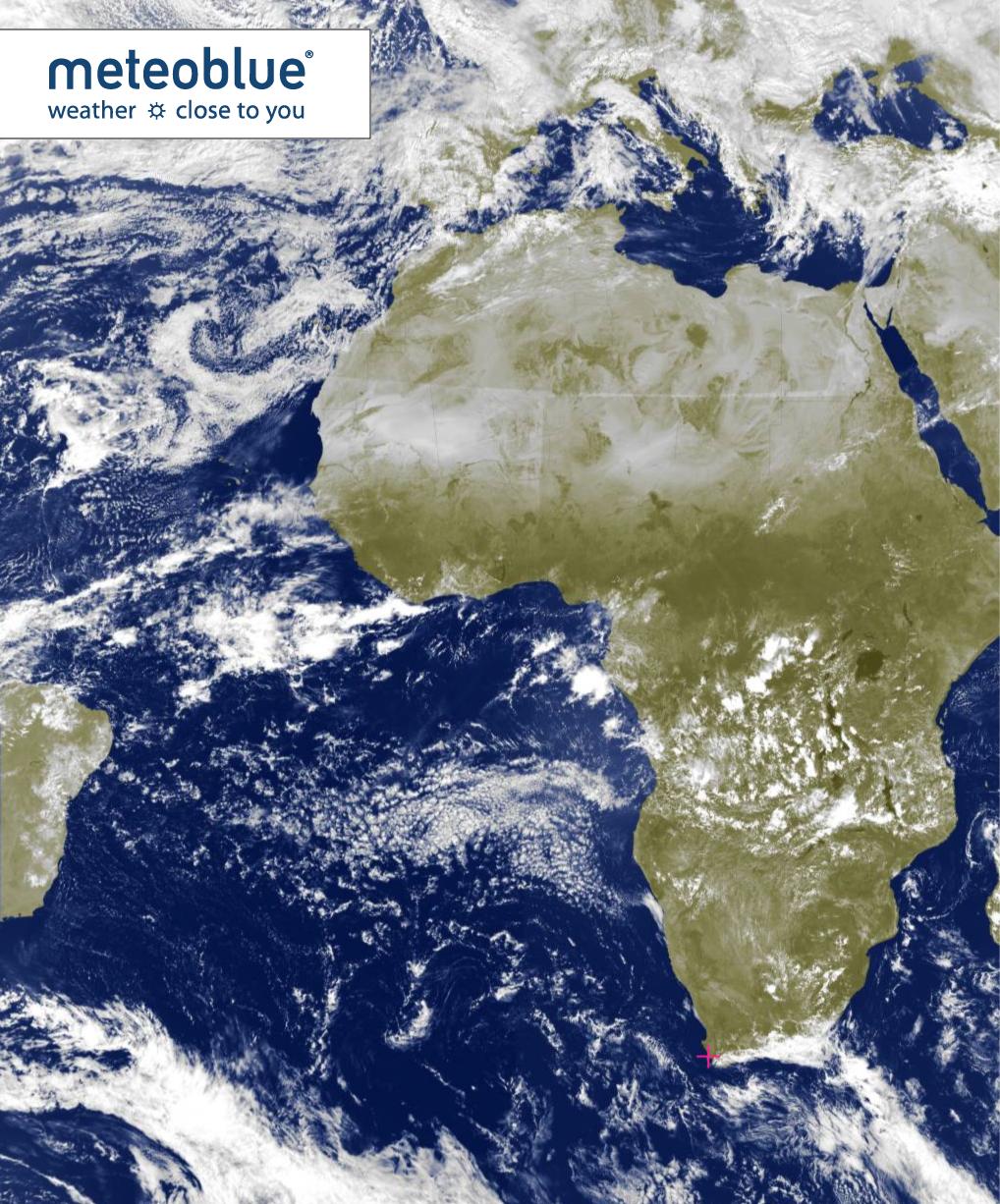
With the advent of new satellites, meteoblue is one of the first to make the highest resolution cloud cover satellite images available to the general public. The high resolution images for Europe are updated in real-time every 5 minutes and show the cloud cover development in 15 minutes time-steps for the past 2 hours. In Europe, the first 4 time-steps also show precipitation. For later timesteps and in other continents, precipitation observations are less reliable and up-to-date, so we are still working on solutions for integration into the satellite maps.
You can check our Satellite images for cloud cover by just scrolling down on our home page www.meteoblue.com, and on Current Weather webpage. You can use the navigation bar at the bottom of the image to stop, play or open the images in full screen. You can also zoom in and out using + and - at the top-left corner.