The high-resolution meteoblue weather models shows many interesting weather developments at global and regional scale in a unique way. Our new wind animation shows the weather "on the move" and expands the scope beyond the wind movement, direction and velocity: the animation also indicates weather fronts with different colours, blue for the cold air flows and red for the warm air flows.
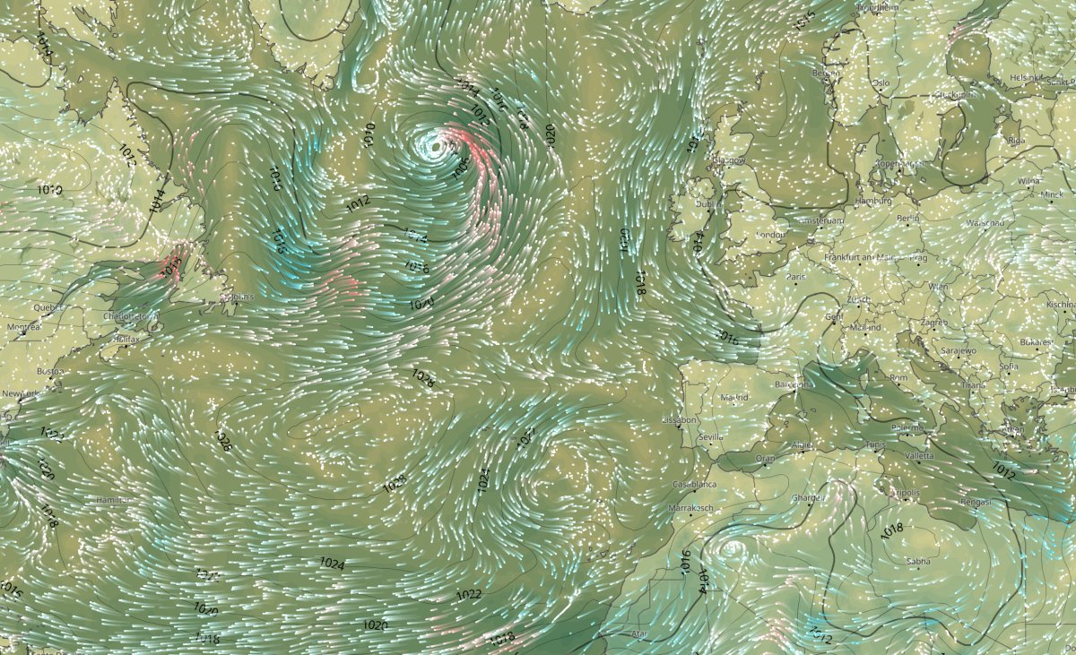
The velocity over a specific area is indicated with the speed of the individual particles and is illustrated through shifting shades of colours that can be read off a scale on the left hand side. Thanks to vector-based technology, the velocity for each individual location can be viewed by moving the mouse over the map area.
The wind animation takes weather visualisation to a new level. It is available under the weather maps beta, and can also be offered to commercial customers.
We love our new maps, hope you will too, and appreciate any feedback.
