
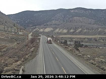
Spences Bridge › Nord: Highway 1 at the north end of - on the west side of the Thompson River, looking north
il y a 18 minutes
Distance: 23.2 km
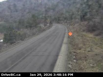
Area I › Est: Highway 1 in the Fraser Canyon at CPKC Rail crossing, looking east
il y a 8 minutes
Distance: 23.3 km
Area I › Ouest: Highway 1 in the Fraser Canyon at CPKC Rail crossing, looking west
il y a 5 minutes
Distance: 23.3 km
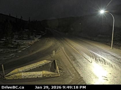
Logan Lake › Sud: Highway 97C at Highland Valley Road between Merritt and Ashcroft, looking south
il y a 8 minutes
Distance: 24.9 km
Logan Lake › Nord: Highway 97C at Highland Valley Road between Merritt and Ashcroft, looking north
il y a 8 minutes
Distance: 24.9 km
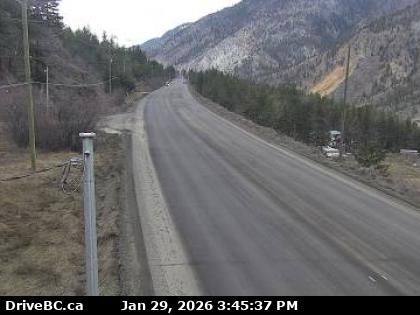
Area I › Ouest: Highway 1 about 6 km east of Lytton Airport, looking west
il y a 9 minutes
Distance: 27 km
Area I › Est: Highway 1 about 6 km east of Lytton Airport, looking east
il y a 9 minutes
Distance: 27 km

Merritt: Airport, BC
il y a 8 minutes
Distance: 30.8 km
Merritt › Sud-ouest: true
il y a 10 minutes
Distance: 30.9 km
Merritt › Nord-est: true
il y a 5 minutes
Distance: 30.9 km
Lytton › Nord-ouest: true
il y a 7 minutes
Distance: 33.2 km
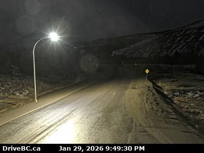
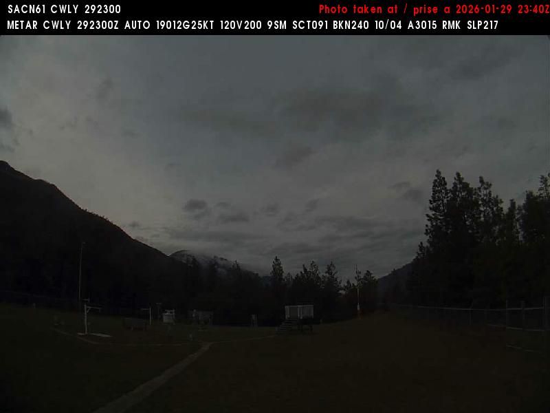
Lytton › Sud: BC
il y a 19 minutes
Distance: 33.2 km
Ajoutez une nouvelle webcam
Webcams provided by windy.com


