
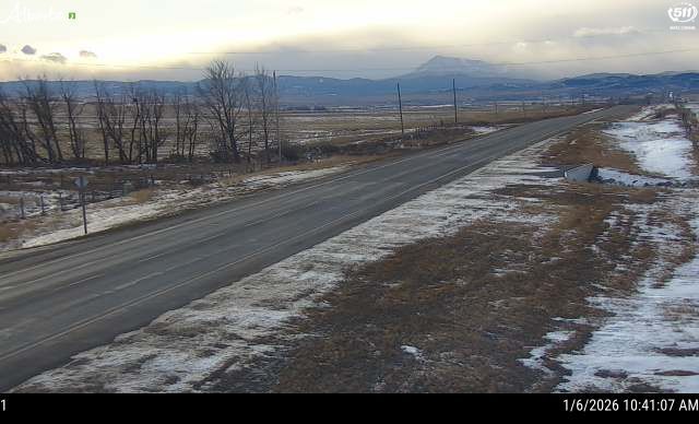
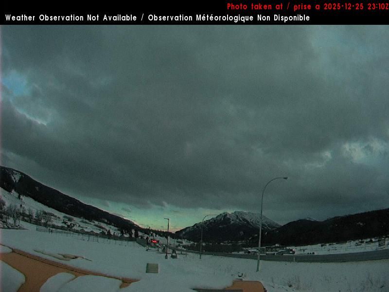
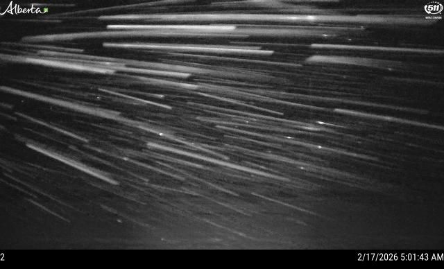
Municipal District of Pincher Creek No. 9: Hwy 22 (West side of HWY)
il y a 1 minute
Distance: 12.6 km
Municipal District of Pincher Creek No. 9: Hwy 22 (West side of HWY)
il y a 5 minutes
Distance: 12.6 km
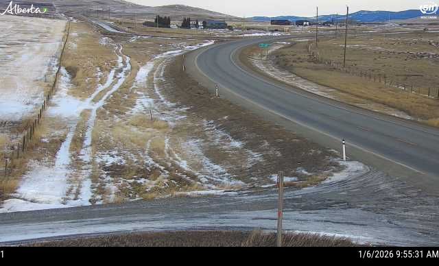
Municipal District of Pincher Creek No. 9: Hwy 22 & South of Twp Road 91A north of Lundbreck
il y a 2 minutes
Distance: 12.6 km
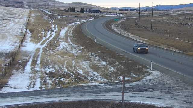
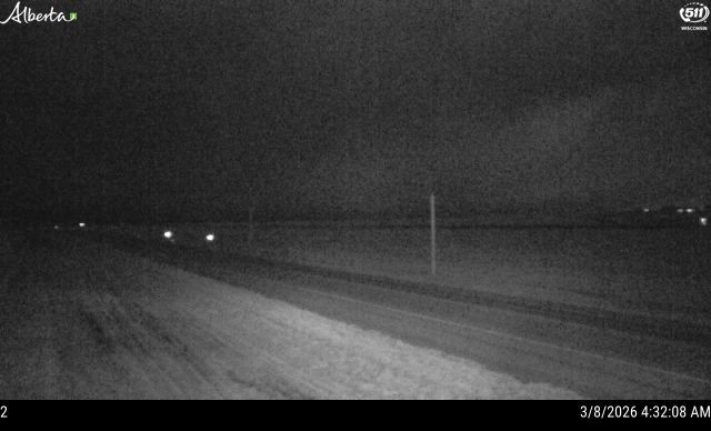
Municipal District of Pincher Creek No. 9: Hwy 22 (West side of HWY)
il y a 12 minutes
Distance: 12.6 km
Crowsnest Pass › Sud-est: true
il y a 1 minute
Distance: 16 km
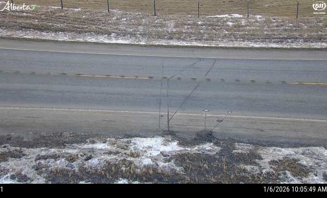
Crowsnest Pass › Ouest: true
il y a 44 secondes
Distance: 16 km

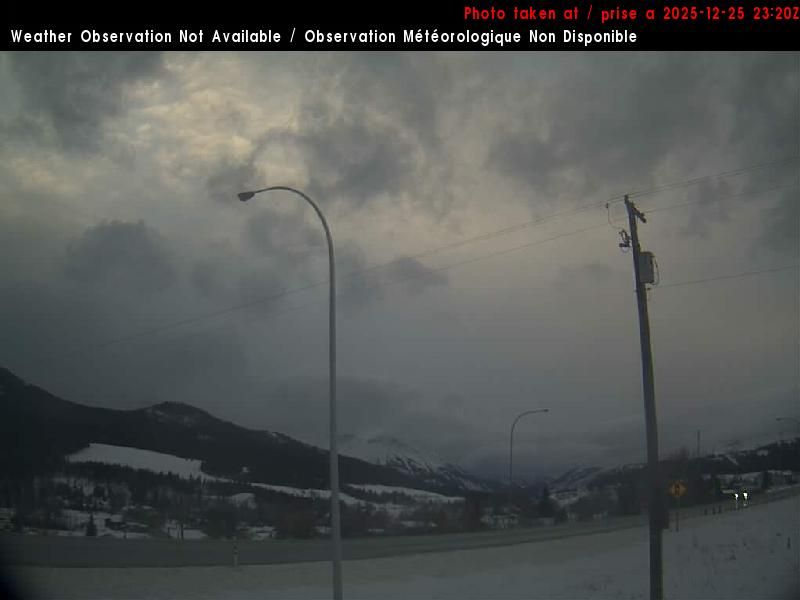
Crowsnest Pass › Ouest
il y a 12 minutes
Distance: 16.1 km

Crowsnest Pass › Sud-est
il y a 2 minutes
Distance: 16.1 km
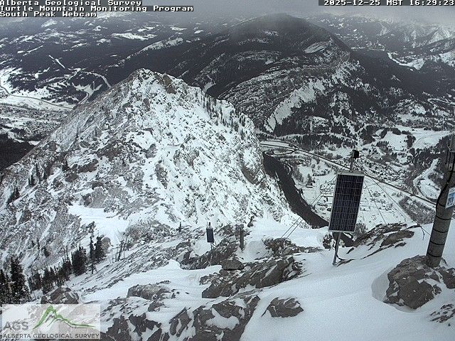
Crowsnest Pass › Sud-ouest: Frank Slide
il y a 12 minutes
Distance: 16.9 km
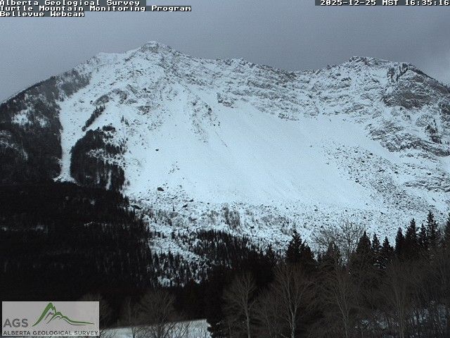
Crowsnest Pass: Turtle Mountain
il y a 1 minute
Distance: 19.7 km
Cowley: Hwy 3 (South side of HWY)
il y a 4 minutes
Distance: 26.6 km
Cowley: Hwy 3 (S)
il y a 21 minutes
Distance: 26.6 km
Ajoutez une nouvelle webcam
Webcams provided by windy.com


