

Grassy Plains › Północ: Highway 35 at Francois Lake Southbank Ferry Landing, looking north at ferry ramp
4 minuty temu
Odległość: 19.6 km
Area E › Północ: Highway 35 at Francois Lake Northbank Ferry Landing, looking at lineup
4 minuty temu
Odległość: 22 km
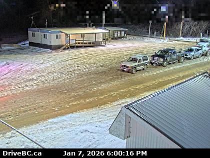
Area E › Południe: Highway 35 at Francois Lake Northbank Ferry Landing, looking at vessel loading area
5 minut temu
Odległość: 22 km
Burns Lake › Południe: Highway 35 near Martin Road between - and Francois Lake Northbank Ferry Landing, looking south
13 minut temu
Odległość: 29.6 km
Burns Lake › Północ: Highway 35 near Martin Road between - and Francois Lake Northbank Ferry Landing, looking north
13 minut temu
Odległość: 29.6 km
Regional District of Bulkley-Nechako › Wschód: Highway 16 about 32 km east of Burns Lake, looking east
4 minuty temu
Odległość: 34.7 km
Area B › Południe: Highway 16 about 22 km east of Burns Lake at Augier Road, looking south
3 minuty temu
Odległość: 35.9 km
Area B › Północ: Highway 16 about 22 km east of Burns Lake at Augier Road, looking north
3 minuty temu
Odległość: 35.9 km
Regional District of Bulkley-Nechako › Zachód: Highway 16 about 22 km east of Burns Lake at Augier Road, looking west
3 minuty temu
Odległość: 35.9 km
Savory › Zachód: Highway 16 about 46 km east of Burns Lake, looking west
3 minuty temu
Odległość: 39.3 km
Savory › Wschód: Highway 16 about 46 km east of Burns Lake, looking east
3 minuty temu
Odległość: 39.3 km

Burns Lake › Południe: Highway 16 at North Francois Highway in - looking south
14 minut temu
Odległość: 40.9 km
Dodaj nową kamerę internetową
Webcams provided by windy.com


