

Grassy Plains › Norte: Highway 35 at Francois Lake Southbank Ferry Landing, looking north at ferry ramp
hace 1 minuto
Distancia: 19.6 km
Area E › Norte: Highway 35 at Francois Lake Northbank Ferry Landing, looking at lineup
hace 1 minuto
Distancia: 22 km
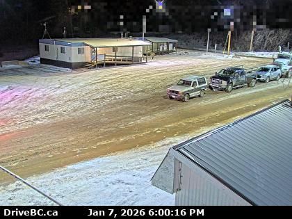
Area E › Sur: Highway 35 at Francois Lake Northbank Ferry Landing, looking at vessel loading area
hace 5 minutos
Distancia: 22 km
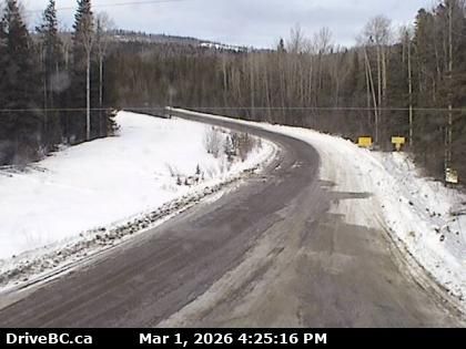
Burns Lake › Sur: Highway 35 near Martin Road between - and Francois Lake Northbank Ferry Landing, looking south
hace 20 minutos
Distancia: 29.6 km
Burns Lake › Norte: Highway 35 near Martin Road between - and Francois Lake Northbank Ferry Landing, looking north
hace 1 minuto
Distancia: 29.6 km
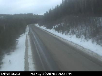
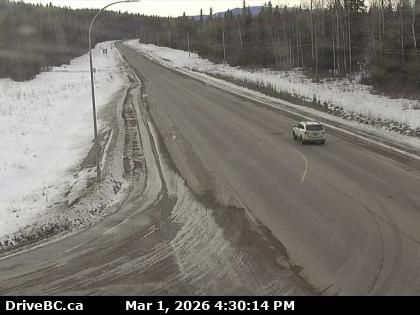
Regional District of Bulkley-Nechako › Este: Highway 16 about 32 km east of Burns Lake, looking east
hace 1 minuto
Distancia: 34.7 km
Area B › Sur: Highway 16 about 22 km east of Burns Lake at Augier Road, looking south
hace 1 minuto
Distancia: 35.9 km
Area B › Norte: Highway 16 about 22 km east of Burns Lake at Augier Road, looking north
hace 1 minuto
Distancia: 35.9 km
Regional District of Bulkley-Nechako › Oeste: Highway 16 about 22 km east of Burns Lake at Augier Road, looking west
hace 1 minuto
Distancia: 35.9 km
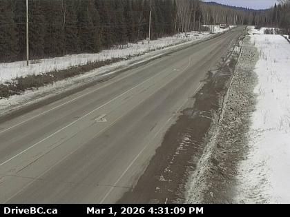
Savory › Oeste: Highway 16 about 46 km east of Burns Lake, looking west
hace 1 minuto
Distancia: 39.3 km
Savory › Este: Highway 16 about 46 km east of Burns Lake, looking east
hace 9 minutos
Distancia: 39.3 km

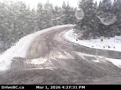
Burns Lake › Sur: Highway 16 at North Francois Highway in - looking south
hace 11 minutos
Distancia: 40.9 km
Agregar nueva webcam
Webcams provided by windy.com


