
Area F › Sudoeste: Daniels Store and Marina
há 8 minutos
Distância: 6.8 km
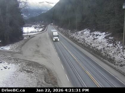
Columbia-Shuswap Regional District › Oeste: Highway 1 about 30 km east of Sicamous near Perry River Bridge, looking west
há 1 minuto
Distância: 32 km
Columbia-Shuswap Regional District › Leste: Highway 1 about 30 km east of Sicamous near Perry River Bridge, looking east
há 1 minuto
Distância: 32 km
Malakwa › Oeste: Highway 1 east of Sicamous at Cambie Road/Solsqua Road, looking west
há 1 minuto
Distância: 35.8 km
Malakwa › Leste: Highway 1 east of Sicamous at Cambie Road/Solsqua Road, looking east
há 1 minuto
Distância: 35.8 km
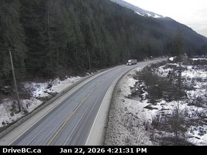
Columbia-Shuswap Regional District › Leste: Highway 1 about 33 km west of Revelstoke, looking east
há 1 minuto
Distância: 39.4 km
Columbia-Shuswap Regional District › Oeste: Highway 1 about 33 km west of Revelstoke, looking west
há 3 minutos
Distância: 39.4 km
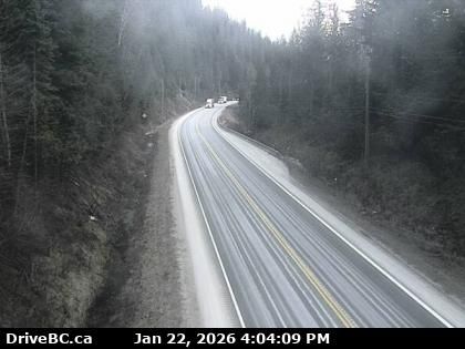
Columbia-Shuswap Regional District › Oeste: Highway 1 about 27 km west of Revelstoke by Griffin Lake, looking west
há 14 minutos
Distância: 44 km
Columbia-Shuswap Regional District › Leste: Highway 1 about 27 km west of Revelstoke by Griffin Lake, looking east
há 14 minutos
Distância: 44 km
Blind Bay › Sudeste: Highway 1 at Highland Drive east of Sorrento at the - turn off, looking southeast
há 4 minutos
Distância: 44.3 km
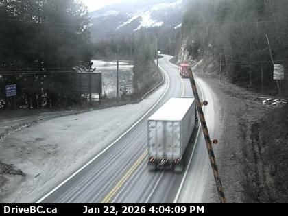
Salmon Arm › Leste: Highway 1 about 8 km southwest of Sicamous at Annis Pit, looking east
há 1 minuto
Distância: 45.7 km
Salmon Arm › Oeste: Highway 1 about 8 km southwest of Sicamous at Annis Pit, looking west
há 3 minutos
Distância: 45.7 km
Adicione nova webcam
Webcams provided by windy.com


