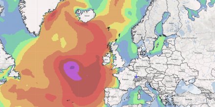
High wind speeds within the low pressure system whip up the sea and create high waves moving towards the British Isles and northwest Iberia.
The cyclone has already weakened and the maximum wave height was reached on the open Atlantic Ocean today. It is expected to arrive in western Europe by late Tuesday and early Wednesday.
Yesterday's satellite image was quite impressive (left). A significant wave height of more than 3 m can be expected at the coasts (right).


