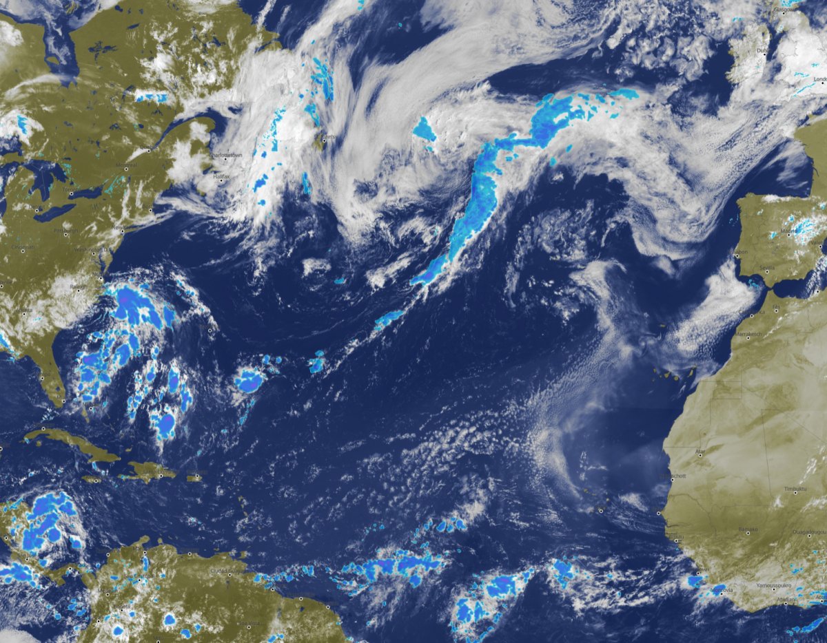
Finally, everyone can see them all: clouds and precipitation in real-time, for any place on Earth, available with one mouse-click.
After introducing the first global high-resolution satellite images for the entire Earth, and composite cloud+precipitation maps for EU in 2019, we now present the first global high resolution satellite and radar composite available in real-time for every place on Earth, including remote areas and oceans.
This unique offer is made possible by hyper-fast processing of multiple satellite and radar images, and advanced gap filling routines, and a unique new display architecture, which helps display the images on your mobile as well as on HD-TV screens.
Our visually appealing satellite and radar composite shows the last three hours and is updated in real-time every 15 minutes. The map enables you to follow the current and nowcasting future weather development and see where to expect clouds and rain.
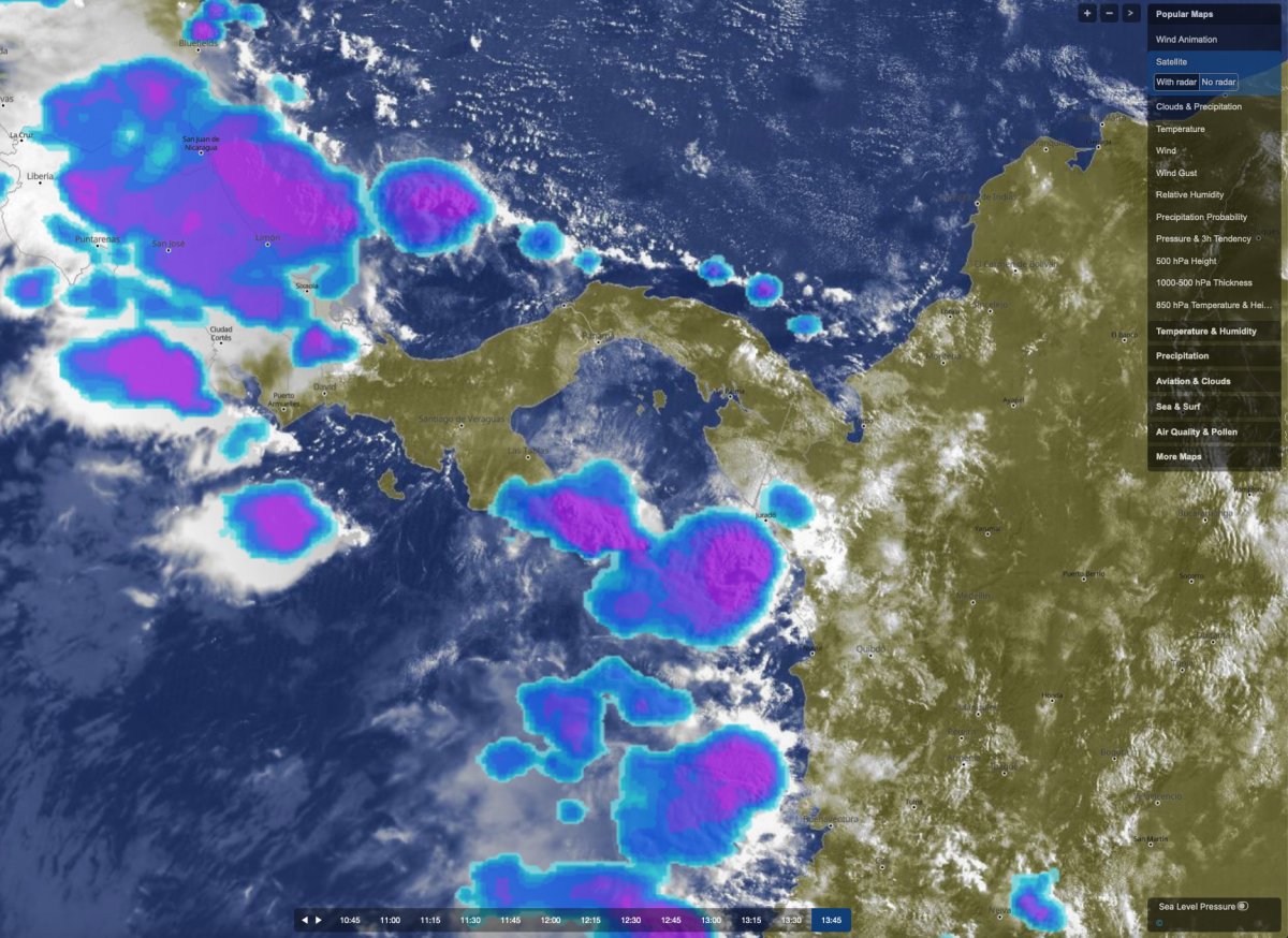
You can check our satellite images for cloud cover with or without precipitation radar under weather maps (beta) and use the navigation bar at the bottom of the image to alternate between the different time-steps. You can also zoom in and out using + and - at the top-right corner. In some regions the last time-steps usually do only show clouds, because precipitation observations are less frequently updated. We also offer plug-ins for integrating this unique service into your customers websites.
meteoblue is proud to make the highest-resolution cloud cover and precipitation maps available worldwide to the general public. If you have further suggestions for improvement or comments please contact us.

