
The initial warnings were issued to the population of Guam while the storm was gradually edging towards the island. Although this region is susceptible to some of the world's most potent tropical cyclones, a direct strike from a storm of this magnitude is rather rare.
On Wednesday, Mawar battered Guam with wind speeds reaching 200 km/h, resulting in devastation and heavy rains. TThe eye of the storm has moved on, but due to its slow pace, the remnants will likely usher in more rain and wind, resulting in floods, landslides and further damage until Sunday morning. The current location of the typhoon can be seen in our satellite image (first screenshot). point+ users can also track the typhoon in our historical satellite maps.
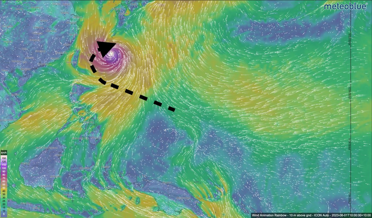
The future storm path will most likely lead towards Tawain and the northern Philippines, but it is not anticipated to pose further threats to land. meteoblue users can track the storm's course on our wind animation (second screenshot), as Mawar is likely to grow in strength and size again throughout the rest of the week but will weaken and, hopefully, move away from land next week.
