
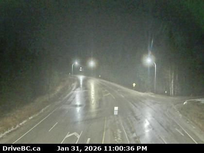
Trout Lake › Север: Highway 23 near the Upper Arrow Lake ferry landing at Shelter Bay, end of queue, looking north
pre 4 minuta
Удаљеност: 8.1 km
Trout Lake › Север: Highway 23 near the Upper Arrow Lake ferry landing at Shelter Bay, looking north at lineup
pre 17 minuta
Удаљеност: 8.4 km
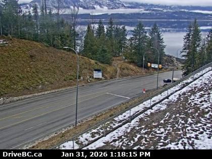
Area B › Југ: Highway 23 near the Upper Arrow Lake ferry landing at Shelter Bay, looking south at terminal ramp
pre 10 minuta
Удаљеност: 8.4 km
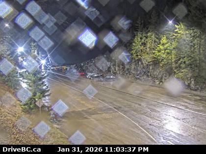
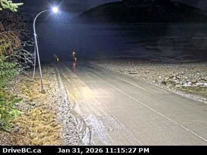
Area B › Југоисток: Highway 23, at the bottom of the Upper Arrow Lake ferry landing at Galena Bay, looking at lineup
pre 3 minuta
Удаљеност: 10.2 km
Area B › Северозапад: Highway 23, at the bottom of the Upper Arrow Lake ferry landing at Galena Bay, looking at ferry boarding
pre 16 minuta
Удаљеност: 10.2 km
Trout Lake › Југ: Highway 23 near the Upper Arrow Lake ferry landing at Galena Bay, looking at end of lineup
pre 25 sekundi
Удаљеност: 10.2 km
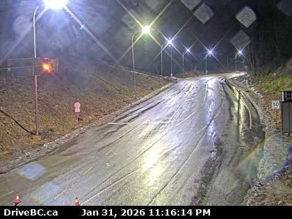
Columbia-Shuswap Regional District › Север: Highway 23 near the Upper Arrow Lake ferry landing at Galena Bay, looking at front of lineup
pre 10 minuta
Удаљеност: 10.4 km
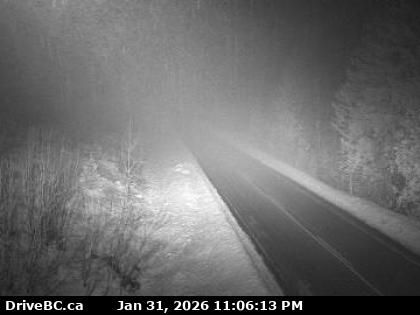
Area B › Исток: Highway 31 in Galena Pass, looking eastbound
pre 19 minuta
Удаљеност: 12.7 km
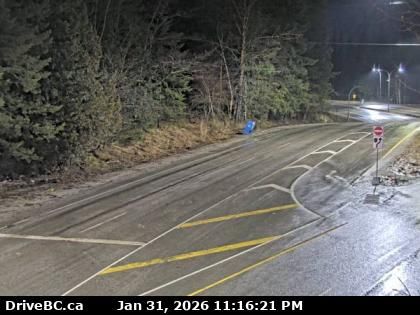
Area B › Запад: Highway 31 in Galena Pass, looking westbound
pre 6 minuta
Удаљеност: 12.7 km
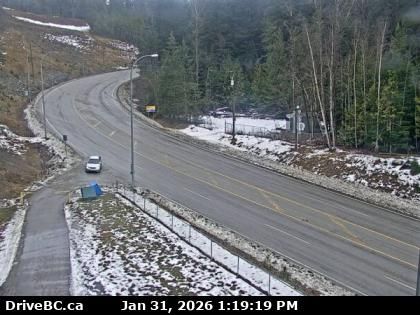
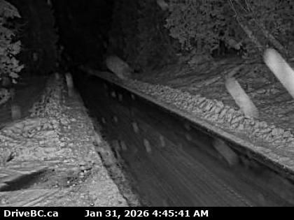
Area B › Север: Highway 23 about 30 km south of Revelstoke and 22 km north of Shelter Bay Ferry, looking north
pre 8 minuta
Удаљеност: 14.9 km
Area B › Југ: Highway 23
pre 3 minuta
Удаљеност: 14.9 km
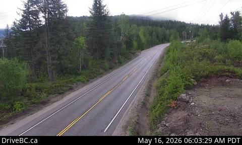
Revelstoke: Top of Stoke Chair
pre 7 minuta
Удаљеност: 30.6 km
Додај нову веб-камеру
Webcams provided by windy.com


