
News
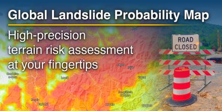
New: Global Landslide Probability Map is Live
High-precision terrain risk assessment at your fingertips.
Read on
High-precision terrain risk assessment at your fingertips.
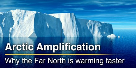
Climate change is not unfolding evenly across the globe. Nowhere is this more evident than in the Arctic, which is warming far more rapidly than any other region on Earth. This phenomenon, known as the Arctic amplification, has become one of the most striking and consequential indicators of modern climate change.
|
|
|
|
|
|
|
|
||
|
Icon
|

|

|

|

|

|
|

|

|
|
°F
|
48°
|
45°
|
44°
|
53°
|
57°
|
55°
|
51°
|
52°
|
|
°F
|
38°
|
37°
|
37°
|
44°
|
49°
|
49°
|
48°
|
49°
|
|
|
NNW |
NNW |
N |
NNW |
NNW |
WNW |
SW |
SW |
|
mph
|
13-32
|
9-23
|
7-21
|
11-24
|
10-22
|
7-15
|
3-9
|
5-12
|
|
in
|
-
|
-
|
-
|
-
|
-
|
-
|
-
|
-
|
|
%
|
0%
|
0%
|
5%
|
0%
|
0%
|
0%
|
0%
|
5%
|
|
in
|
||||||||
|
|
No precipitation expected |
|||||||
|
12.4 mi
|
||||||||
Overnight into Saturday clear skies prevail, but in the course of day a few clouds are expected. It is a sunny day. Temperatures peaking at 57 °F. Overnight into Saturday blows a fresh breeze (18 to 25 mph). During the day a gentle breeze is expected (8 to 12 mph). From time to time gusts could reach up to 35 mph. Winds blowing at night and in the morning from North and during the afternoon from Northwest. The weather forecast for Pazos for Saturday is expected to be very accurate.

Pressure: 1024 hPa
Timezone: CET (UTC +01:00h)
Overnight into Saturday clear skies prevail, but in the course of day a few clouds are expected. It is a sunny day. Temperatures peaking at 57 °F. Overnight into Saturday blows a fresh breeze (18 to 25 mph). During the day a gentle breeze is expected (8 to 12 mph). From time to time gusts could reach up to 35 mph. Winds blowing at night and in the morning from North and during the afternoon from Northwest. The weather forecast for Pazos for Saturday is expected to be very accurate.
Pressure: 1024 hPa
Timezone: CET (UTC +01:00h)
The location marker is placed on Pazos. This animation shows the precipitation radar for the selected time range, as well as a 2h forecast. Orange crosses indicate lightning. Data provided by nowcast.de (available in USA, Europe, Australia). Drizzle or light snow fall might be invisible for the radar. Precipitation intensity is colour coded, ranging from turquoise to red.
You can embed this meteogram into your own website. Customize it here.
The real-time satellite image combines visible light during daytime with infrared radiation during nighttime. At night, the image is not dark as infrared radiation can detect temperature differences. Unfortunately, low clouds and fog are difficult to distinguish from ground temperatures and thus can be almost invisible during the night. Meteosat satellite images for Europe are updated in real-time every 5 minutes. GOES-16/GOES-17 (North & South America) and Himawari (Asia) images update every 10 minutes.
Precipitation is estimated from radar and satellites. Precipitation estimates from satellites are less accurate at night than during daytime.
© 2026 meteoblue, NOAA Satellites GOES-16 and EUMETSAT. Lightning data provided by nowcast.
High-precision terrain risk assessment at your fingertips.
Climate change is not unfolding evenly across the globe. Nowhere is this more evident than in the Arctic, which is warming far more rapidly than any other region on Earth. This phenomenon, known as the Arctic amplification, has become one of the most striking and consequential indicators of modern climate change.
Advertising is essential to maintain our free website with unique detail and accuracy.
Please whitelist www.meteoblue.com on your ad blocker or consider buying one of our products:
Already have a subscription?
Then please login.


 Santiago de Compostela


