
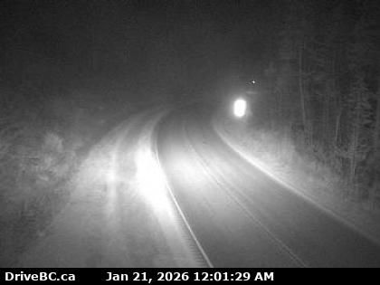
Malakwa › Oeste: Highway 1 east of Sicamous at Cambie Road/Solsqua Road, looking west
hace 6 minutos
Distancia: 22.3 km
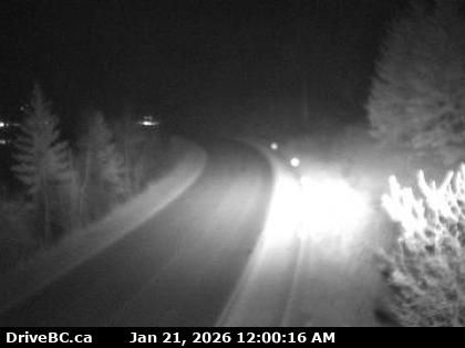
Malakwa › Este: Highway 1 east of Sicamous at Cambie Road/Solsqua Road, looking east
hace 19 minutos
Distancia: 22.3 km
Blind Bay › Sureste: Highway 1 at Highland Drive east of Sorrento at the - turn off, looking southeast
hace 3 minutos
Distancia: 24.5 km
Salmon Arm › Este: Highway 1 about 8 km southwest of Sicamous at Annis Pit, looking east
hace 15 minutos
Distancia: 25.3 km
Salmon Arm › Oeste: Highway 1 about 8 km southwest of Sicamous at Annis Pit, looking west
hace 16 minutos
Distancia: 25.3 km
Area F › Suroeste: Daniels Store and Marina
hace 9 minutos
Distancia: 27.5 km
Columbia-Shuswap Regional District › Oeste: Highway 1 about 30 km east of Sicamous near Perry River Bridge, looking west
hace 6 minutos
Distancia: 29.6 km
Columbia-Shuswap Regional District › Este: Highway 1 about 30 km east of Sicamous near Perry River Bridge, looking east
hace 4 minutos
Distancia: 29.6 km
Sorrento › Oeste: Highway 1 east of Squilax Bridge, looking west
hace 14 minutos
Distancia: 35.4 km
Sorrento › Este: Highway 1 east of Squilax Bridge, looking east
hace 17 minutos
Distancia: 35.4 km
Columbia-Shuswap Regional District › Este: Highway 1 about 33 km west of Revelstoke, looking east
hace 16 minutos
Distancia: 37.5 km
Columbia-Shuswap Regional District › Oeste: Highway 1 about 33 km west of Revelstoke, looking west
hace 17 minutos
Distancia: 37.5 km
Agregar nueva webcam
Webcams provided by windy.com


