
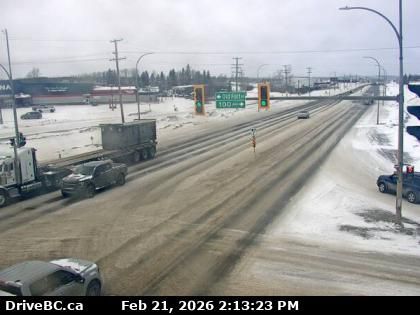
Fort St. John › North-west: Highway 97 at 100 Avenue in - looking northwest
hace 11 minutos
Distancia: 33.9 km
Fort St. John › South-east: Highway 97 at 100 Avenue in - looking southeast
hace 10 minutos
Distancia: 33.9 km
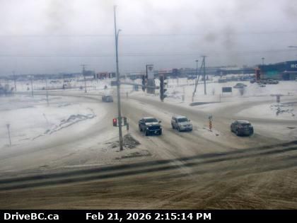
Fort St. John › North: Highway 97 at 100 Avenue in - looking north
hace 9 minutos
Distancia: 33.9 km
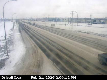
Fort St. John › South: Highway 97 at 100 Avenue in - looking south
hace 7 minutos
Distancia: 33.9 km
Hudson's Hope › South-west: Highway 29 about 1.5 km north of - at Powell Road, looking southwest
hace 23 minutos
Distancia: 34.7 km
Hudson's Hope › North-east: Highway 29 about 1.5 km north of - at Powell Road, looking northeast
hace 27 minutos
Distancia: 34.7 km
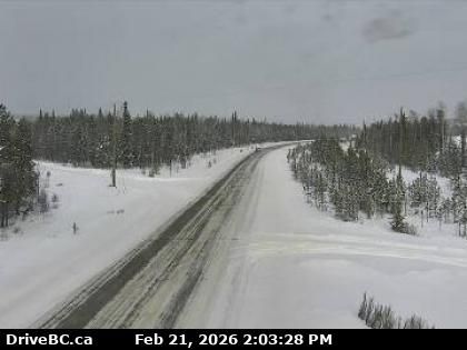
Area B › East: Highway 97 at Mile 73 Road about 44 km north of Fort St. John, looking east
hace 10 minutos
Distancia: 37.5 km
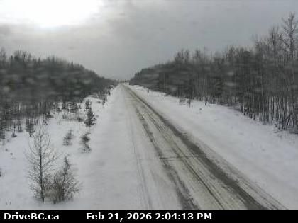
Peace River Regional District › North: Highway 97 at Mile 73 Road about 44 km north of Fort St. John, looking north
hace 1 minuto
Distancia: 37.5 km
Peace River Regional District › South: Highway 97 at Mile 73 Road about 44 km north of Fort St. John, looking south
hace 9 minutos
Distancia: 37.5 km
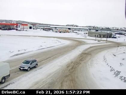
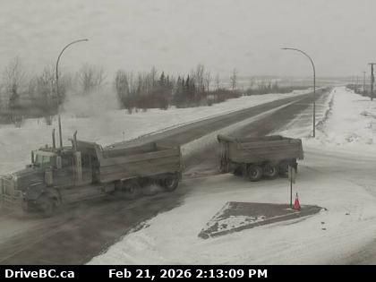
Taylor › North: Highway 97 at Pine Avenue in - looking north
hace 59 segundos
Distancia: 46.2 km
Taylor › East: Highway 97 at Pine Avenue in - looking east
hace 10 minutos
Distancia: 46.2 km
Taylor › West: Highway 97 at Pine Avenue in - looking west
hace 1 minuto
Distancia: 46.2 km
Agregar nueva webcam
Webcams provided by windy.com


