
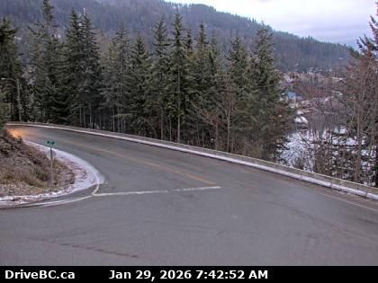
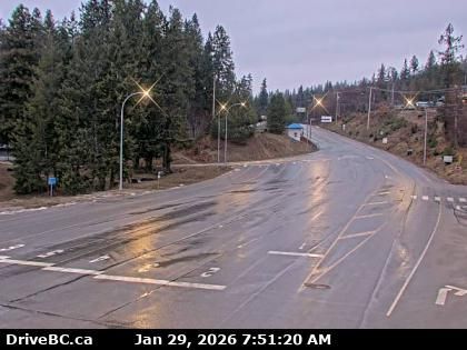
Kaslo › Norte: Highway 31 at Highway 31A Junction in - looking northbound
hace 3 minutos
Distancia: 0.8 km
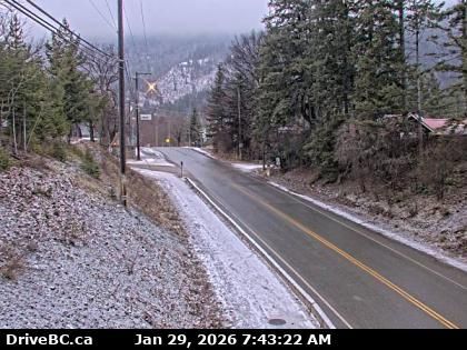
Kaslo › Oeste: Highway 31 at Highway 31A Junction in - looking westbound
hace 11 minutos
Distancia: 0.8 km
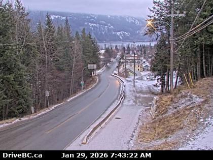
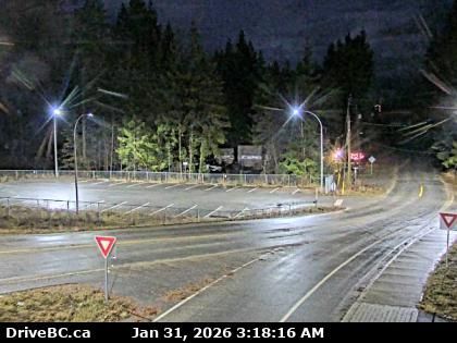
Kaslo › Sur: Highway 31 at Highway 31A Junction in - looking southbound
hace 12 minutos
Distancia: 0.8 km
Area D › Suroeste
hace 9 horas
Distancia: 17.6 km
Columbia-Shuswap Regional District › Sur: Kootenay Lake - British Columbia, Canada
hace 24 minutos
Distancia: 18.3 km
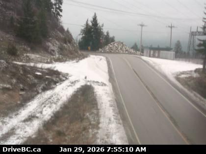
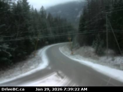
New Denver › Oeste: Highway 31A at Retallack between - and Kaslo, looking west
hace 2 horas
Distancia: 21.6 km
Crawford Bay › Norte: Highway 31 about 45 km north of Nelson and 25 km south of Kaslo, looking north
hace 2 minutos
Distancia: 24.2 km
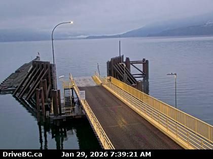
Area A › Suroeste: Highway 3A at Kootenay Bay Ferry Landing, looking southwest
hace 1 minuto
Distancia: 27 km
Crawford Bay › Noreste: Highway 3A at Kootenay Bay Ferry Landing, looking northeast
hace 1 minuto
Distancia: 27 km
Area H › Oeste
hace 1 hora
Distancia: 31.2 km
Argenta › Sur: Highway 31 at Duncan Lake Road about 35 km north of Kaslo, looking south
hace 5 minutos
Distancia: 31.2 km
Area E › Este: Highway 3A and Highway 31 at Busk Road near the Balfour ferry terminal, looking at ferry parking lot
hace 14 minutos
Distancia: 32.4 km
Agregar nueva webcam
Webcams provided by windy.com


