
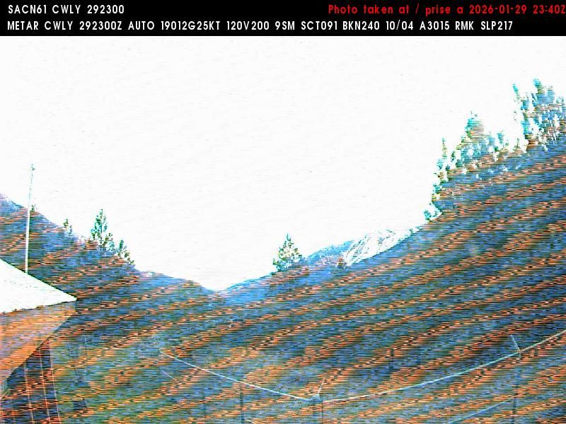
Lytton › Sud: BC
il y a 7 minutes
Distance: 13 km
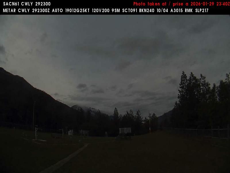
Lytton › Nord-ouest: true
il y a 3 minutes
Distance: 13.1 km
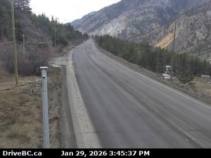
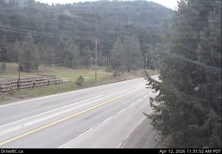
Area I › Ouest: Highway 1 about 6 km east of Lytton Airport, looking west
il y a 7 minutes
Distance: 18.8 km
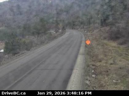
Area I › Est: Highway 1 about 6 km east of Lytton Airport, looking east
il y a 3 minutes
Distance: 18.8 km
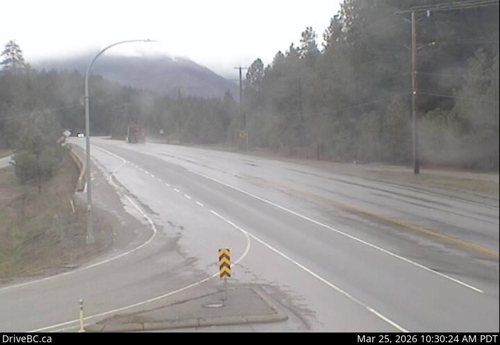
Area I › Ouest: Highway 1 in the Fraser Canyon at CPKC Rail crossing, looking west
il y a 4 minutes
Distance: 22.5 km
Area I › Est: Highway 1 in the Fraser Canyon at CPKC Rail crossing, looking east
il y a 3 minutes
Distance: 22.5 km
Boothroyd 8A › Sud: Highway 1 between Boston Bar and Lytton at Jackass Mountain summit near CəX̣ʷ Cixʷ (Check-Chow) Bridge, looking south
il y a 13 minutes
Distance: 25.3 km
Area I › Nord: Highway 1 between Boston Bar and Lytton at Jackass Mountain summit near CəX̣ʷ Cixʷ (Check-Chow) Bridge, looking north
il y a 14 minutes
Distance: 25.3 km
Boothroyd 8A › Sud: Highway 1 about 12 km north of Boston Bar at Kahmoose Road in Boothroyd, looking south
il y a 3 minutes
Distance: 36.5 km
Boothroyd 8A › Nord: Highway 1 about 12 km north of Boston Bar at Kahmoose Road in Boothroyd, looking north
il y a 2 minutes
Distance: 36.5 km
Lillooet › Ouest: true
il y a 10 minutes
Distance: 48.7 km
Lillooet › Nord: true
il y a 3 minutes
Distance: 48.7 km
Ajoutez une nouvelle webcam
Webcams provided by windy.com


