
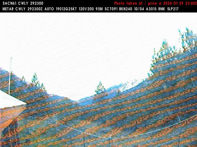
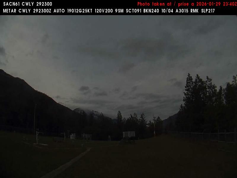
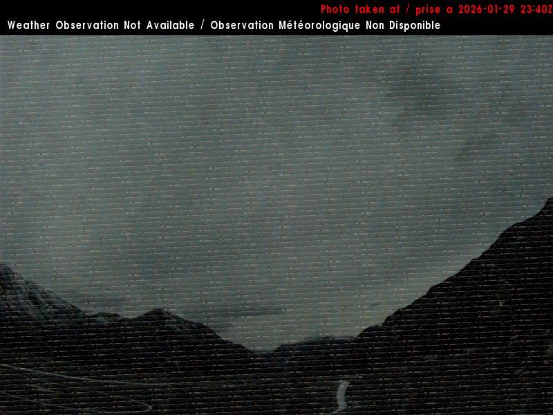
Lytton › South: BC
1 minute ago
Distance: 13 km
Lytton › North-west: true
3 minutes ago
Distance: 13.1 km
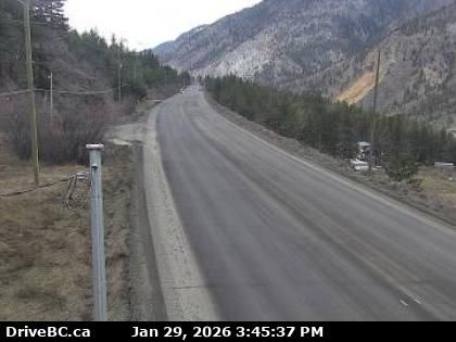
Area I › West: Highway 1 about 6 km east of Lytton Airport, looking west
4 minutes ago
Distance: 18.8 km
Area I › East: Highway 1 about 6 km east of Lytton Airport, looking east
12 minutes ago
Distance: 18.8 km
Area I › West: Highway 1 in the Fraser Canyon at CPKC Rail crossing, looking west
15 minutes ago
Distance: 22.5 km
Area I › East: Highway 1 in the Fraser Canyon at CPKC Rail crossing, looking east
15 minutes ago
Distance: 22.5 km
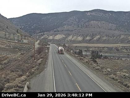
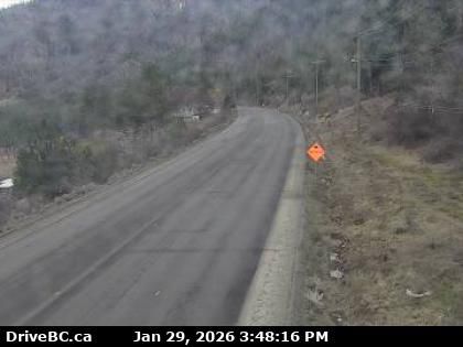
Spences Bridge › North: Highway 1 at the north end of - on the west side of the Thompson River, looking north
6 hours ago
Distance: 37.2 km
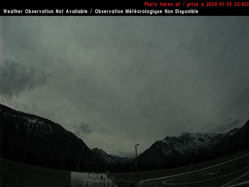
Lillooet › West: true
8 minutes ago
Distance: 48.7 km
Lillooet › North: true
4 minutes ago
Distance: 48.7 km
Lillooet › South: true
3 minutes ago
Distance: 48.7 km
Add new webcam
Webcams provided by windy.com


