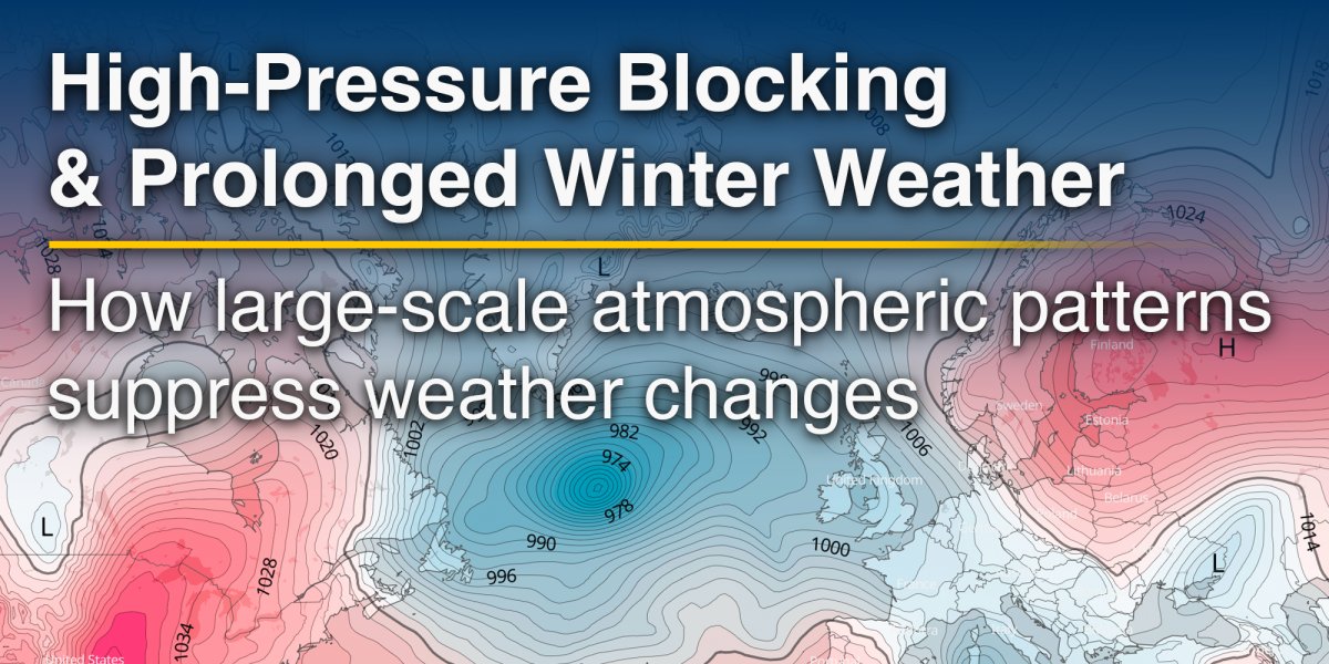
Winter weather in the mid-latitudes is usually dynamic. Low-pressure systems move from west to east, bringing alternating periods of mild, wet weather and colder, clearer conditions. This constant progression is driven by the jet stream, which acts as a fast-moving conveyor belt for weather systems. However, some winters depart sharply from this familiar pattern. Instead of frequent changes, cold, dry or snowy conditions can persist for weeks. One of the key drivers behind such prolonged winter spells is high-pressure blocking.
High-pressure blocking refers to large, slow-moving areas of high atmospheric pressure that disrupt the normal west-to-east flow of weather systems. These systems can remain almost stationary for days or even weeks, effectively "blocking" the usual passage of Atlantic lows. As a result, storm tracks are diverted around the high-pressure area, often to the north or south, while the weather beneath the block becomes unusually persistent.
In winter, blocking highs have a particularly strong influence on temperatures. While high pressure is often associated with mild and settled weather in summer, the opposite is frequently true in winter. Under a winter high-pressure system, air sinks towards the surface, a process known as subsidence. This suppresses cloud formation and precipitation, leading to clear skies and light winds. During long winter nights, the ground loses heat rapidly under these calm and cloud-free conditions, allowing temperatures to fall sharply. Repeated night-time cooling can lead to widespread frost and, in some cases, severe and long-lasting cold spells.
Blocking highs also influence the direction of air flow. On their eastern flank, they often draw cold air southwards from polar or Arctic regions. In Europe, this can mean bitter easterly or northeasterly winds, transporting very cold continental air from Russia or Scandinavia towards western and central parts of the continent. Similar processes affect North America, where blocking patterns can allow Arctic air to plunge deep into the United States. These cold air outbreaks are rarely brief when a blocking high is present, as the atmospheric circulation that would normally replace the cold air is effectively shut down.
Not all winter blocking brings clear skies. In many cases, especially across central and eastern Europe, cold air becomes trapped near the surface beneath the high-pressure system. This can lead to persistent low cloud, fog or freezing fog, sometimes lasting for days. These so-called temperature inversions prevent daytime warming and can keep temperatures well below seasonal averages even during daylight hours. Such conditions are also associated with poor air quality, as pollutants accumulate near the surface in the absence of wind and vertical mixing.

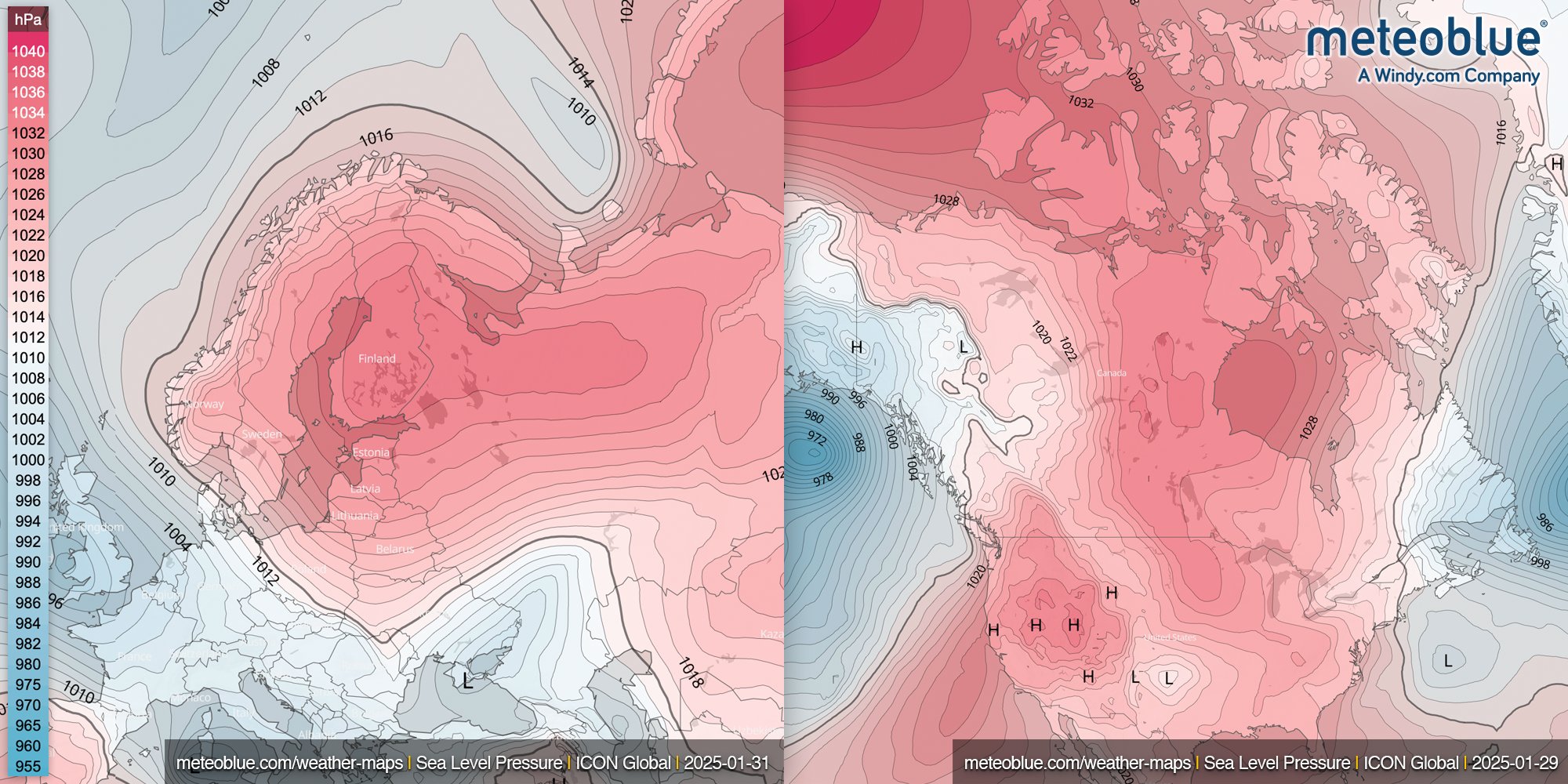
High-pressure blocking can persist for remarkably long periods. While a typical weather system moves through in a few days, blocking patterns can remain in place for several weeks. Certain configurations, such as Omega blocks, where a high-pressure system is sandwiched between two low-pressure systems, are particularly resistant to change. In winter, these patterns can lock in cold conditions and delay the arrival of milder maritime air. Historic European winters, such as 1962–63 or 2009–10, were strongly influenced by prolonged blocking, leading to widespread disruption, heavy snowfall in some regions, and sustained sub-zero temperatures.
Although the weather beneath a blocking high is often dry, heavy snowfall can still occur at its margins. Storm systems diverted around the block may repeatedly affect the same regions, leading to prolonged periods of snow or freezing rain. This is one reason why blocking patterns are often associated with high-impact winter weather, not just cold but also significant snow accumulation and transport disruption.
In essence, high-pressure blocking acts as the atmosphere's pause button in winter. By disrupting the usual west-to-east flow, it allows cold air to settle in, temperatures to drop well below normal, and winter impacts to build over time rather than pass quickly. For those following how the atmosphere "locks in" these conditions, meteoblue Sea Level Pressure and upper-air maps offer direct insight into the large-scale dynamics behind prolonged winter weather across Europe and beyond.
