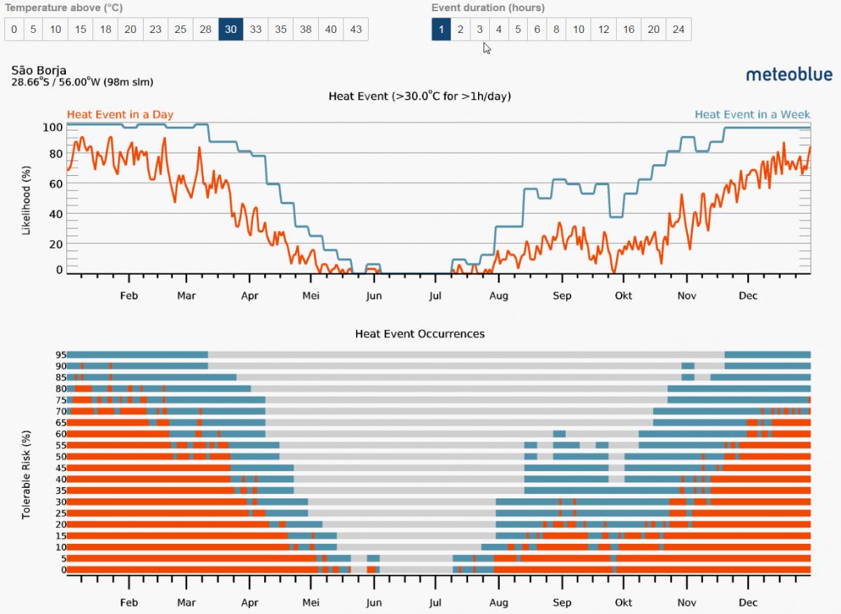
How big is the chance that I can watch the stars next week from the La Silla Observatory in Chile? How often do heat waves appear in Southern France? What frost risk to expect in April in Vancouver, Canada? When were these crazy rainfalls on our farm in Brazil? Which month has the highest likelihood for drought in Turkey? These and many other questions can now be answered with the new and unique history+ feature for risk assessment. It is available for any purchased history+ location or you can check out all history+ features for Basel (Switzerland) for free. For cold or warm events, precipitation, water capacity or cloud cover the risk can be calculated for different user defined thresholds. The results are intuitive graphics, that show the distribution of the expected risk throughout the year and the appearances of the risk events since 1986. You can assess your risk within a matter of seconds and all with only one diagram.
