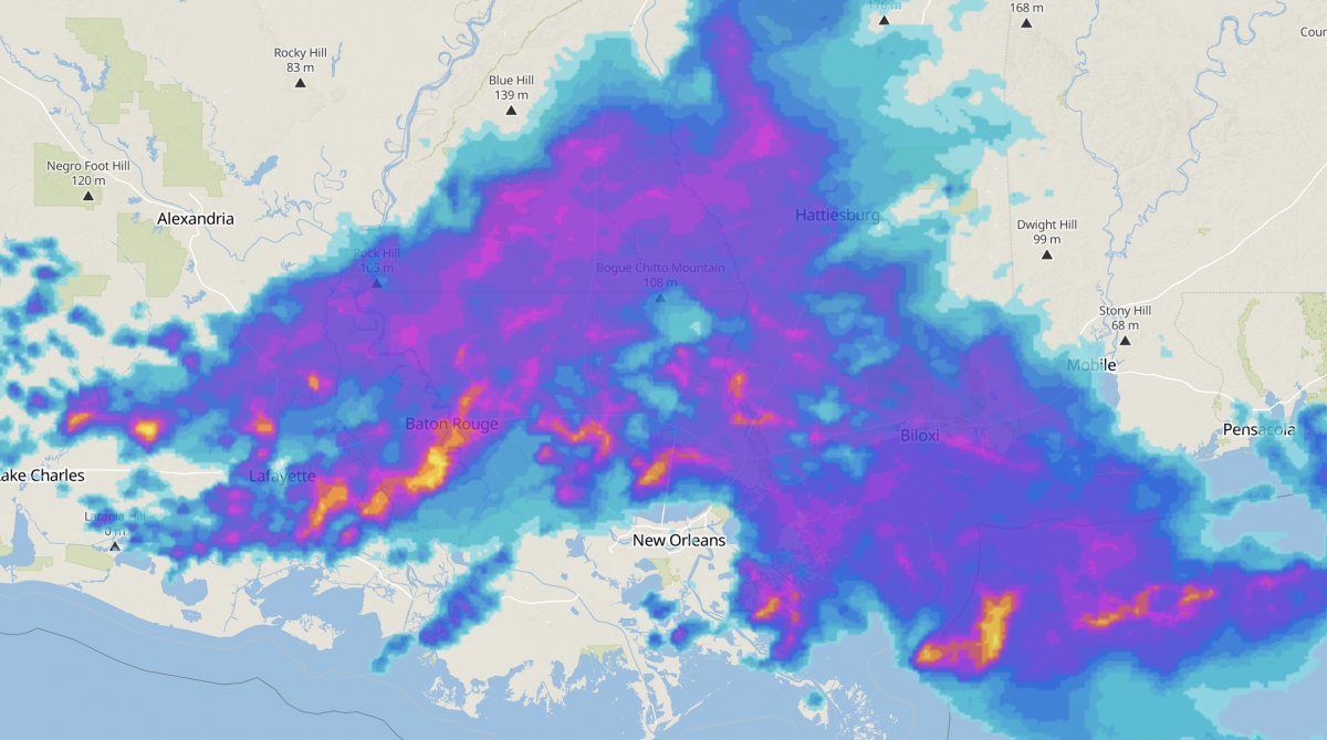
meteoblue introduces the perfect seamless worldwide radar... animation!
Our new radar function shows recipitation radar in 15 minute updates, which are then visualised in 1-minute intervals. It is available for time ranges of 3, 6, 9, 12, 18 and 24 hours - worldwide, seamless, animated. For the USA and EU, we now offer a high-resolution 1-hour forecast, too. The range of 6-24 hours is acecssible with a subscription of point+ .
This unique function is made possible by several technology steps:
- collecting data from dozens of radar networks;
- cleaning the data to eliminate echoes and false positives;
- synchronising the timesteps from the different networks into a consistent time intervals, by applying forecast and interpolation techniques;
- blending global satellite data into the areas not covered by radar;
- creating 1-minute radar images ;
- forecasting the movement of precipitation fields;
- animating the resulting movement in 1 minute steps;
- compressing the entire package into the smallest format;
With these steps, meteoblue makes available the most detailed and precise precipitation radar images worldwide, in time for the beginning of the rainy and summer season in most countries.
You can benefit from this offer in several ways:
as well as custom products. Contact us for more information.
