point+ gives you access to all specialised diagrams, maps and tools with high precision weather data. Our unique diagrams for atmospheric layers like the meteogram picto, Soundings and Cross-Sections show the weather conditions in the atmosphere and are a widely used tools for many purposes, from biking, hiking to mountaineering, sailing, flight preparation, agriculture, and many other applications.
Here are some examples of unique features:
- weather maps with visibility, soil moisture, snow depth, daily snowfall and many others.
- astronomical seing for those of you who want to look up at the starry sky during the holiday season, in time for the rare Jupiter-Saturn conjunction.
- forecast of snow cover , for those of you who are planning outdoor activities dependent on snow.
- sophisticated functions for aviation, agriculture and and other sectors, such as Stueve, trajectories (which show the direction of air masses, balloons, smoke etc.), cross sections for any flight track across the world,
as well as many other features.
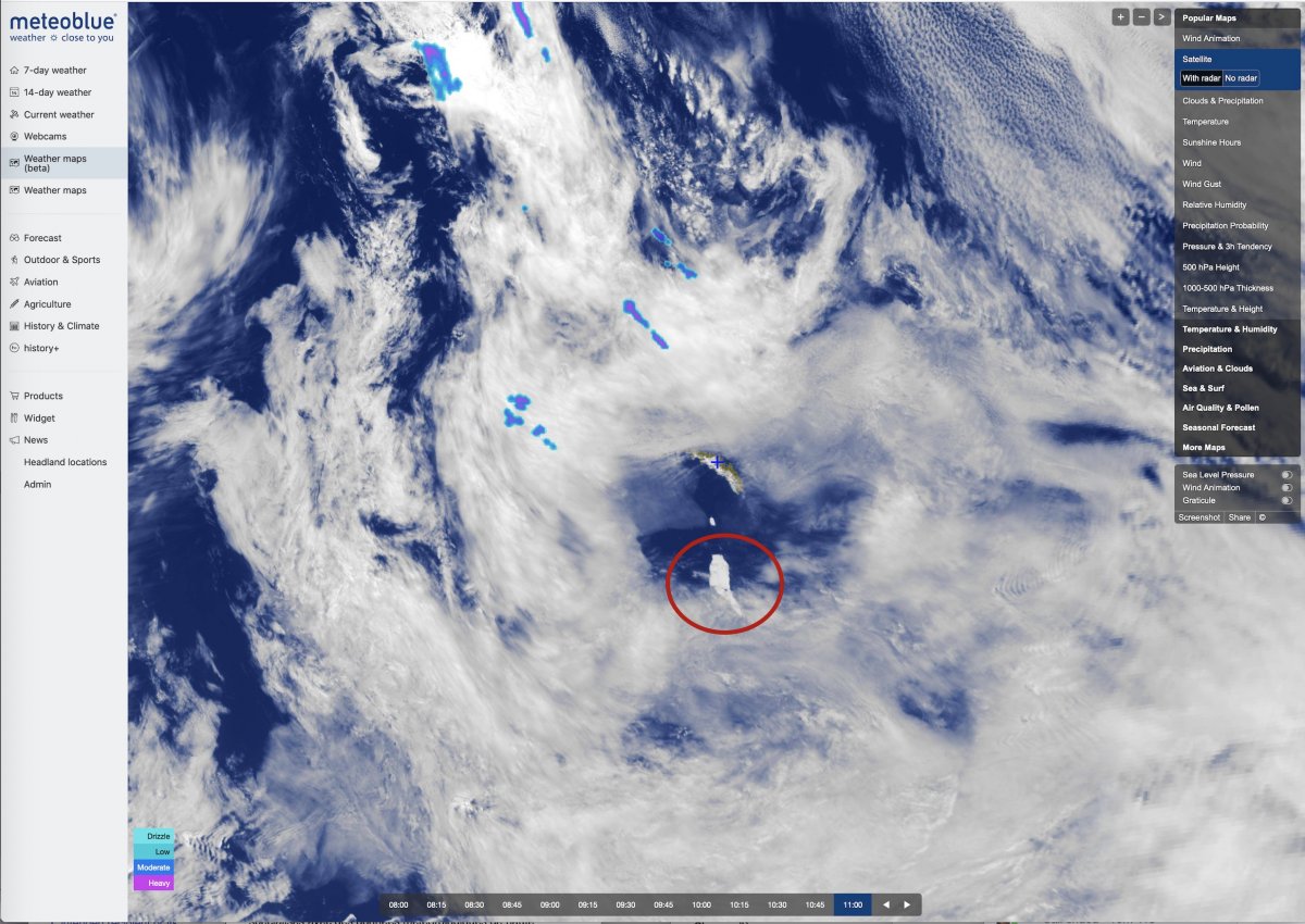
In addition, you can always enjoy our classics, such as "where2go" and the AIR meteogram, as well as the new features added in 2020, such as our fascinating wind animation, uniquely detailed satellite viewer, (where you can see the world's largest iceberg floating) and the extended ensemble forecasts.
Try them all yourselves and tell us what you think! We hope you like it.
We would also like to thank you for your interest and support in 2020, and wish you peaceful holidays and a healthy and prosperous 2021.
Your meteoblue team
PS: if access does not work, for some reason, please use the coupon "point+20201229" to buy a 1 month subscription free of charge.