Recently, we have reprogrammed our entire forecast processing chain.
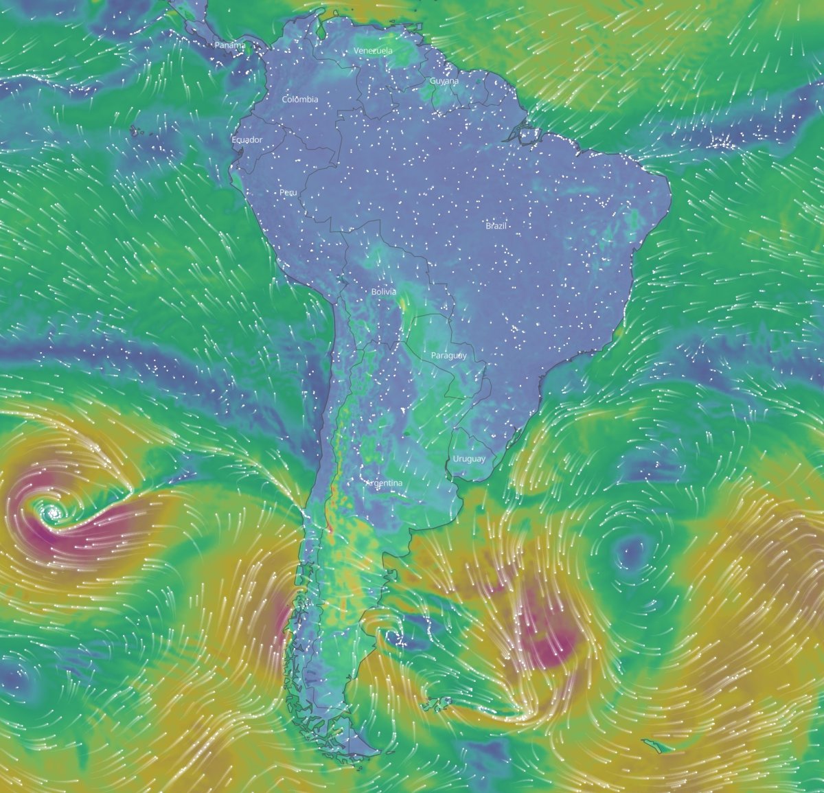
We included additional data sources, such as the high-resolution WRFAMS-7 weather model for South America, to improve local forecast accuracy. We also inserted the IFS ensemble precipitation data into our precipitation forecast algorithm for a more precise calculation of precipitation probabilities.
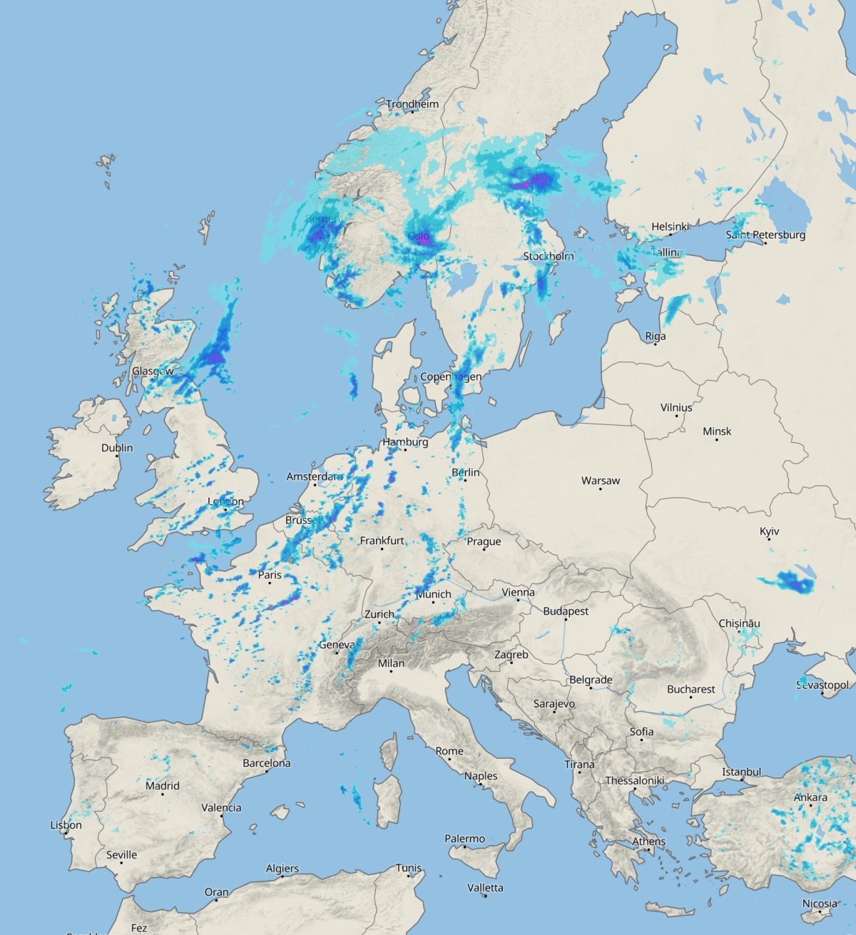
We enhanced our nowcasting. Nowcasting calculations are made for the next 1-6 hours using data from observed (satellite, radar) or measured (weather stations) datasets, processed on the fly. These data are especially useful for describing current weather conditions, as well as for predicting conditions in the upcoming hours. The update was made possible by new datasets, like the integration of the French radar for a better precipitation forecast for the entire area of France.
We launched our new revamped mLM: The meteoblue Learning MultiModel (mLM) is our unique proprietary post-processing technique, comparing and contrasting the output from numerical weather prediction models with measurement data. It integrates current weather measurement data and 10-20 different weather models to select and weight the model with the most accurate simulation for the local downscaled forecast. We have been using this proprietary artificial intelligence technology since 2018. The new mLM version was developed over several months. It now delivers even more accurate and more complete probability distributions for each forecast hour. On top of that, it includes a larger number of weather stations.

The new data is available on our website, in our app, and it has also already been made publicly available via our Weather APIs.
In addition to refining our data processing chain, we have also technologically upgraded and redesigned most of our meteograms. This augments both their technical stability and their readability.
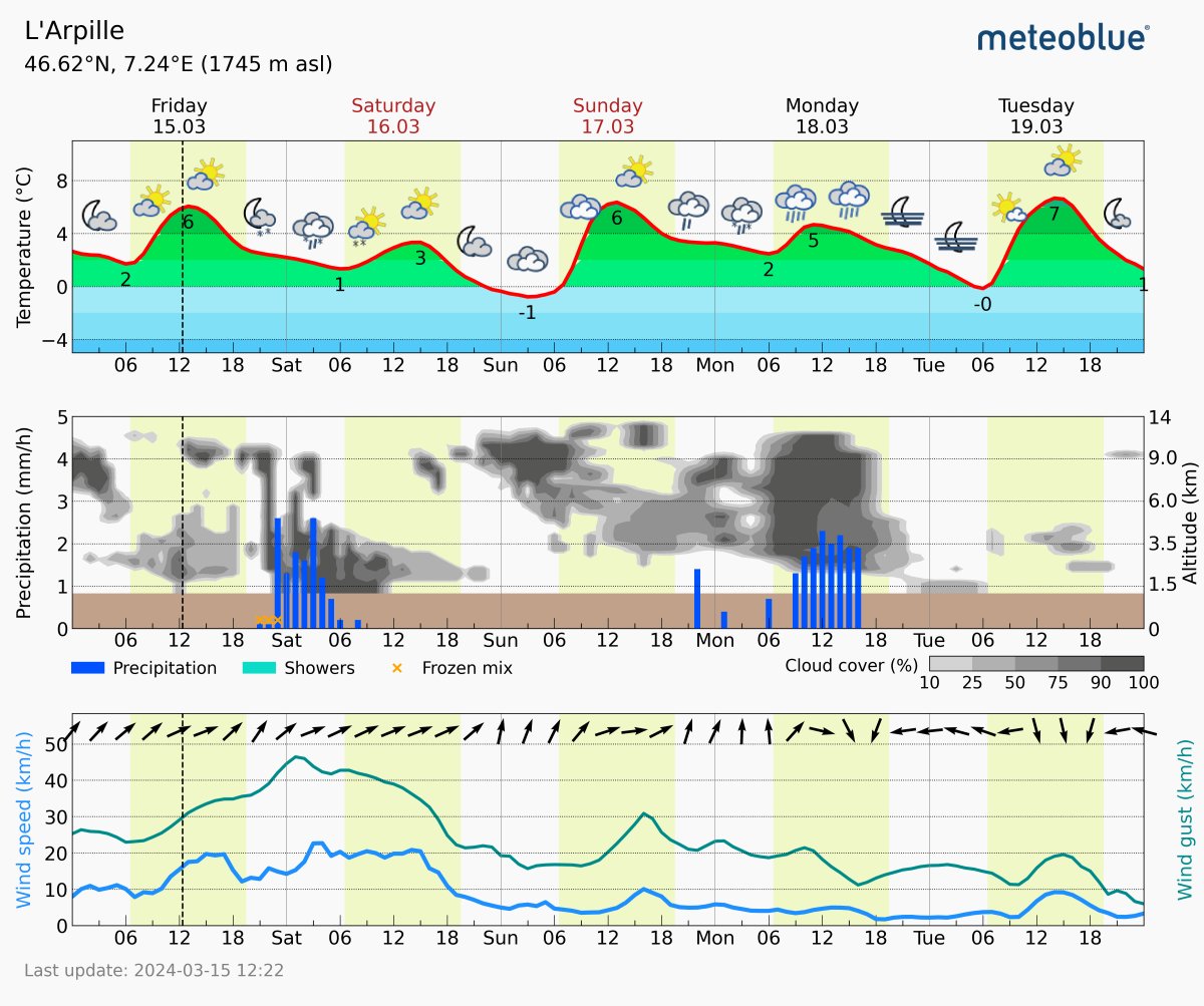
The screenshot shows Meteogram 5-Days with the following upgrades:
- Precipitation is now shown in separated hourly bars instead of 3-hour blocks, indicating more clearly when precipitation events are expected to start.
- Clearer colours improve the overall readability.
- A new precipitation type – frozen mix – was added to describe a mix of rain and snow.
- The size of the pictograms has been reduced to avoid overlapping visuals.
We are confident that these enhancements will elevate your experience with our services. If you have questions or feedback, please do not hesitate to contact us!
