Cities worldwide are increasingly affected by climate change, with urban areas experiencing intensified urban heat island effects. Dense building structures, reduced vegetation, and high energy use often result in local climates that feel hotter and less comfortable than their surroundings. These conditions can strongly affect the health and wellbeing of citizens, especially vulnerable groups.
To support cities in addressing these challenges, meteoblue offers Urban Maps, a digital platform that visualises weather and climate in unprecedented detail. The platform is currently available in more than 150 cities worldwide.
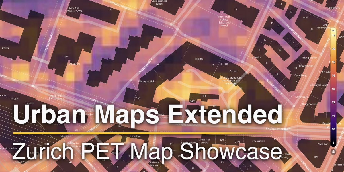
Among these locations, Zurich currently offers the most comprehensive set of features. Here, users can explore a temperature map, a wind map, measurements, webcams, and as of now also the new PET (Physiological Equivalent Temperature) Map.
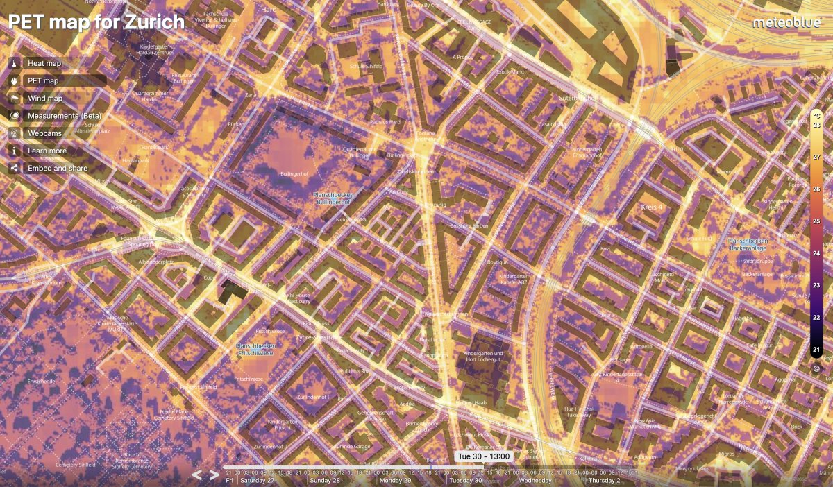
PET is a recognised indicator of human thermal comfort that, instead of showing only air temperature, combines meteorological factors such as wind speed, temperature, humidity, and solar radiation to reveal how hot or cold the urban climate feels. It represents the equivalent air temperature at which a person in a typical indoor setting – not exposed to wind or direct sunshine – would feel the same thermal level as they would in the complex outdoor conditions, based on the energy balance of the human body. PET therefore makes it possible to understand and manage heat more effectively.
The new PET Map is especially valuable as it adds an entirely new layer of insight. It is calculated at a resolution of 3x3 metres, making the cooling effects of trees and buildings clearly visible. With a three-day forecast, municipalities can prepare targeted measures to reduce the impact of thermal stress, while citizens gain a better understanding of their immediate environment. All PET data is fully digital and can also be accessed via API, ensuring seamless integration into planning, communication, or research platforms.
With the addition of PET, Zurich now benefits from one of the most advanced Urban Maps platforms worldwide. By turning complex climate data into clear, actionable insights, the platform opens new possibilities for protecting citizens, guiding sustainable urban planning, and building cities that are more resilient, liveable, and future-ready. As meteoblue continues to expand the platform, more cities will gain access to these powerful tools for shaping a healthier urban future.
