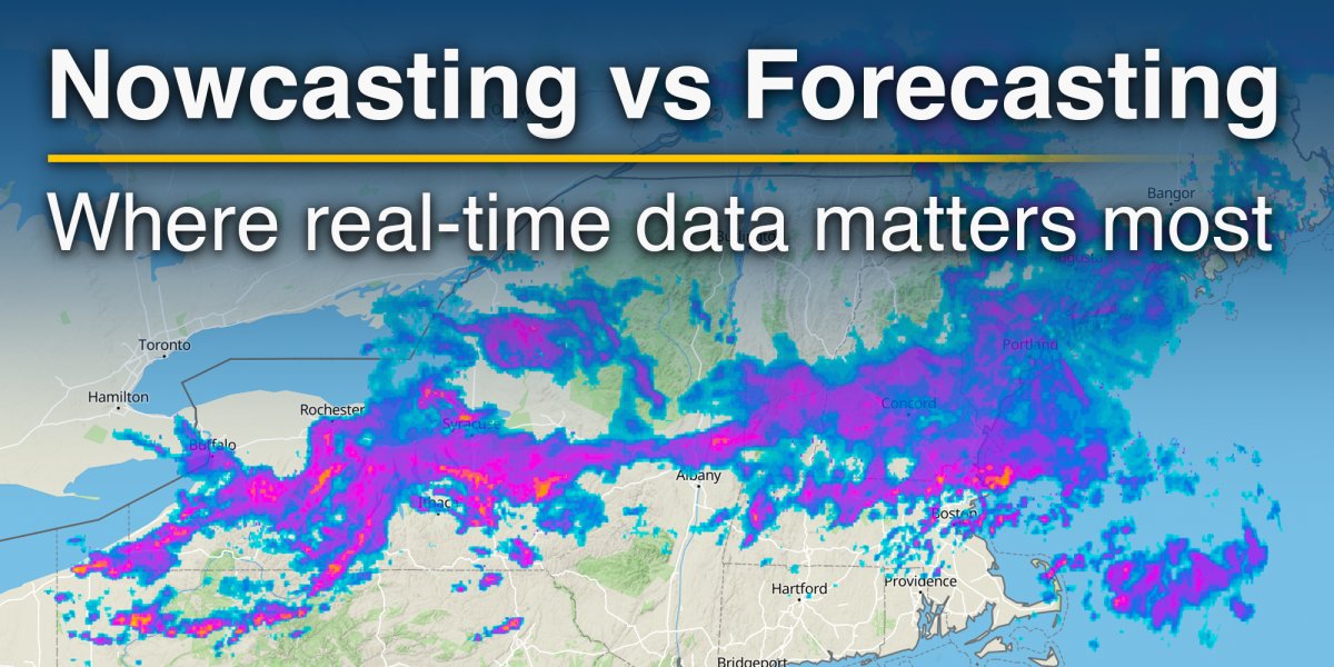
Weather forecasting has long relied on numerical models to describe how the atmosphere evolves over hours to days. These models remain the backbone of modern meteorology. Yet in the immediate term, particularly within the next few hours, a different approach becomes more effective. Nowcasting focuses on the present state of the atmosphere and its near-term evolution, typically up to six hours ahead, using real-time observations rather than longer-term simulations.
This distinction is not simply academic, but shows how the way we produce, read, and use weather information is changing in practice.
Where nowcasting adds value
Nowcasting combines a detailed analysis of current atmospheric conditions with short-term prediction techniques. It draws on dense, high-frequency observations from multiple sources, including radar, satellites, surface stations, and lightning detection systems. These inputs provide a near-continuous picture of the atmosphere at local scale.
Unlike traditional forecasts, which depend on initial conditions fed into numerical models, nowcasting often relies on extrapolation. In this context, extrapolation means using recent observations to estimate how weather features will move and evolve in the immediate future. For example, radar images can be analysed to track the movement of precipitation systems and project their position in the next one to two hours. This method is particularly effective for large-scale features such as frontal rainfall bands.
As outlined in meteorological research, nowcasting integrates real-time observations with high-resolution modelling and data assimilation, enabling continuous updates of atmospheric conditions and short-term evolution . This allows for rapid interpretation and response, especially in fast-changing weather situations.
The role of radar and satellite data
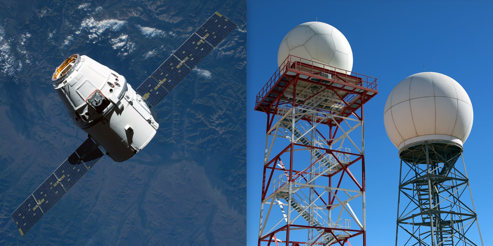
Radar remains one of the most important tools for nowcasting precipitation. It provides high-resolution information on rainfall intensity, structure, and movement. Doppler radar adds further insight by measuring wind velocity within storms, helping to identify severe phenomena such as gust fronts or rotating systems.
Satellite observations complement radar, particularly in regions without dense ground-based networks. Geostationary satellites deliver near-continuous imagery, capturing cloud development, movement, and temperature changes. Rapid cooling of cloud tops, for instance, can signal the development of convective storms.
Recent satellite generations extend this capability further by observing atmospheric structure, lightning activity, and moisture profiles. Together, radar and satellite data provide a multi-layered view of current weather, which is essential for short-term prediction.
Limits of extrapolation and the role of models
Nowcasting by extrapolation performs best in stable, organised weather systems. However, it becomes less reliable when dealing with rapidly evolving phenomena such as thunderstorms, where precipitation patterns can change significantly within minutes.
Beyond roughly two hours, numerical weather prediction begins to outperform pure nowcasting approaches. This is where data assimilation plays a key role. With continuous updates from new observations, meteorologists can extend short-range forecasts up to 12 hours with increasing accuracy. This combined approach is often referred to as very short-range forecasting.
Operational centres increasingly blend nowcasting techniques with high-resolution models to create a seamless transition from observation-based prediction to model-based forecasting. This integration is particularly important for issuing warnings in high-impact situations such as flash floods or severe storms.
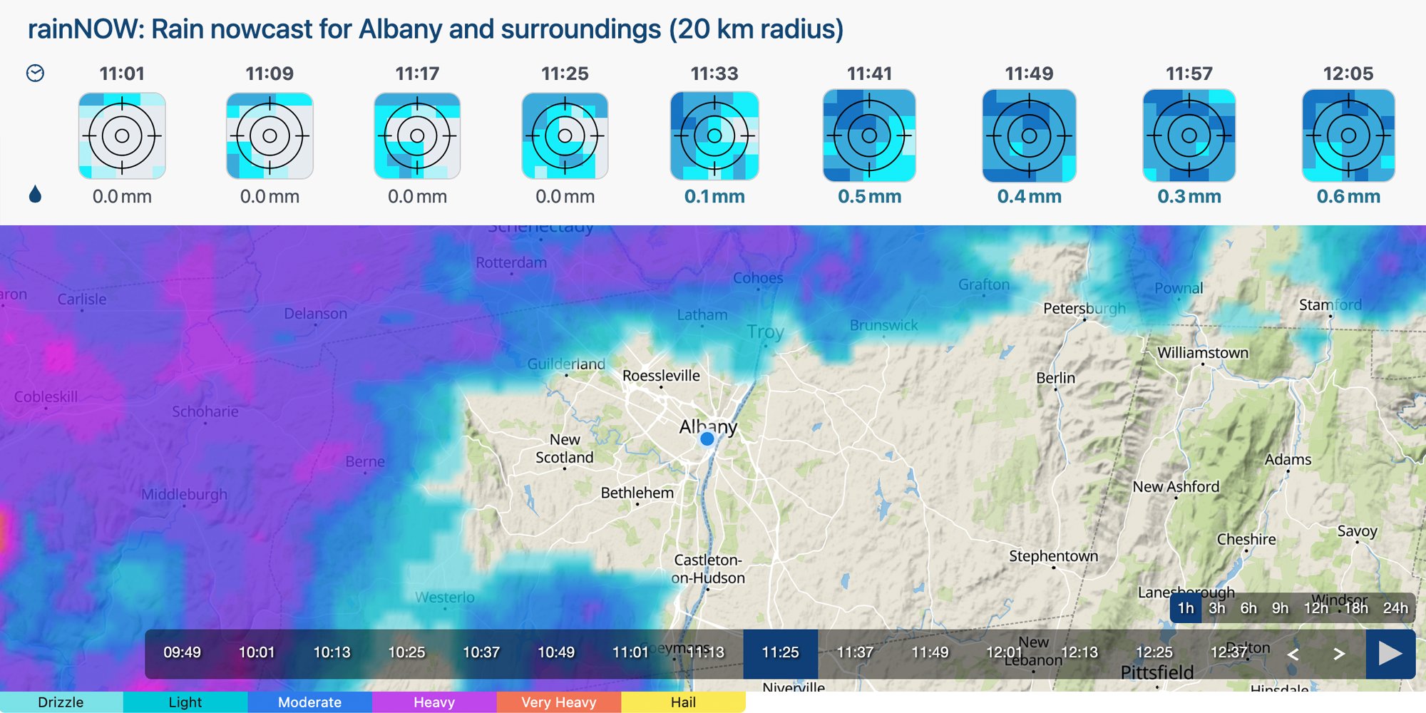
Monitoring weather in real time with meteoblue
For users, the value of nowcasting lies in direct access to real-time information. meteoblue provides several tools designed to support this.
Radar maps allow users to track precipitation intensity and movement at high spatial and temporal resolution. Satellite imagery offers a broader perspective on cloud cover and atmospheric development. The rainNOW feature focuses specifically on short-term precipitation forecasts, using recent observations to project rainfall over the next hours.
Together, these tools enable continuous monitoring of weather conditions as they evolve. For sectors such as logistics, aviation, energy, or event planning, this level of detail supports immediate decision-making in ways that traditional forecasts cannot.
Why the distinction matters
The boundary between nowcasting and forecasting is increasingly fluid, but the practical difference remains clear. Forecasting answers the question of what is likely to happen in the coming days. Nowcasting answers what is happening now and what will happen next.
In many situations, that distinction defines the usefulness of the information. A delivery route, a flight path, or a power grid adjustment depends less on tomorrow's outlook than on the next hour.
Data availability, model resolution, and communication technologies continue to improve, making the integration of nowcasting and forecasting more seamless. The result is not a replacement of one approach by the other, but a more continuous and precise understanding of the atmosphere across all time scales.
Interested in discussing this topic further or asking questions? Visit the meteoblue Community Forum, where both experts and community members continue the conversation.
