
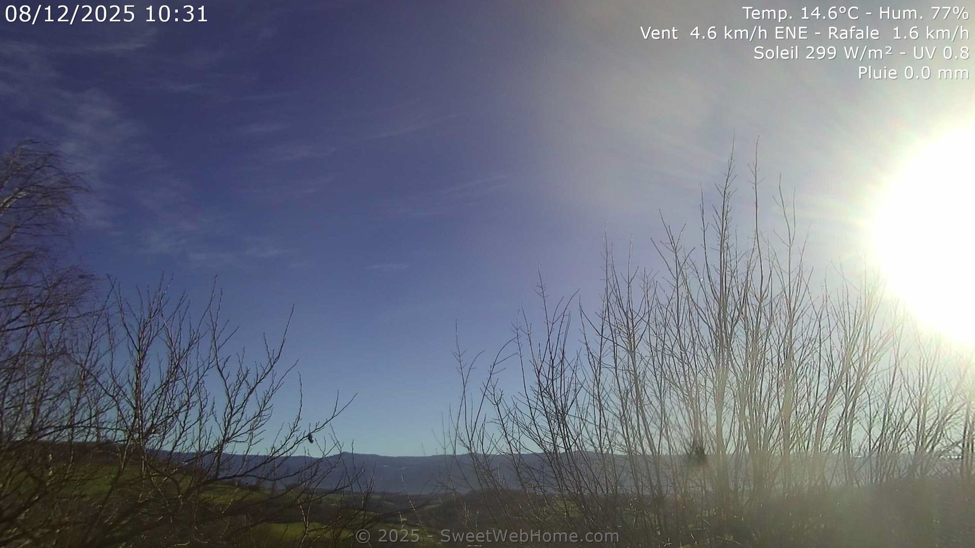
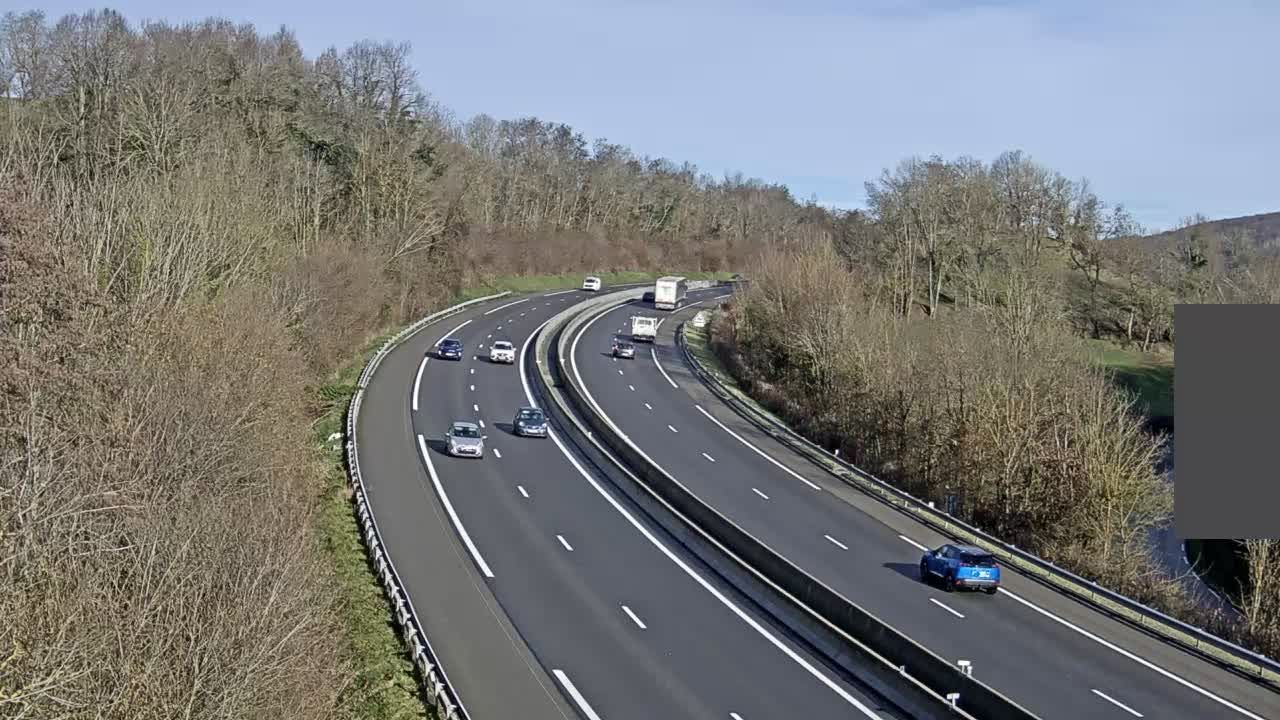
Saint-Appolinard › East: Auvergne-Rhône-Alpes, France
7 minutes ago
Distance: 6.9 km
Rencurel › South-east: Station des Coulmes
16 minutes ago
Distance: 16.4 km
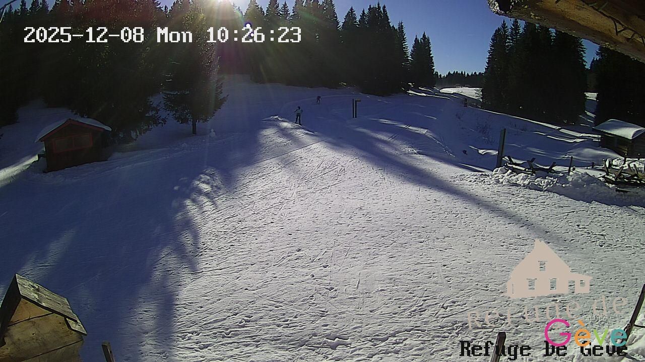
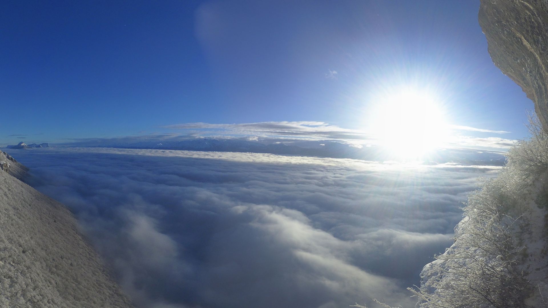
Autrans-Meaudre en Vercors: Refuge Gève
5 minutes ago
Distance: 16.7 km
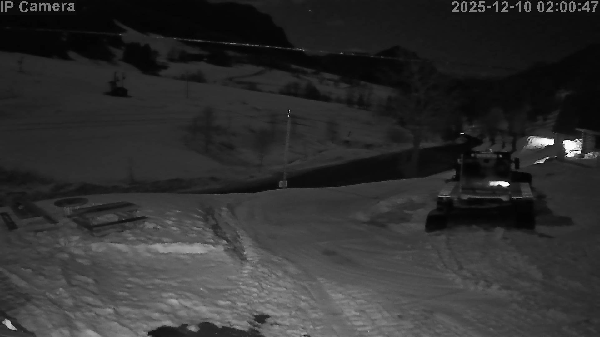
Autrans-Meaudre en Vercors › North: Geve
8 minutes ago
Distance: 16.8 km
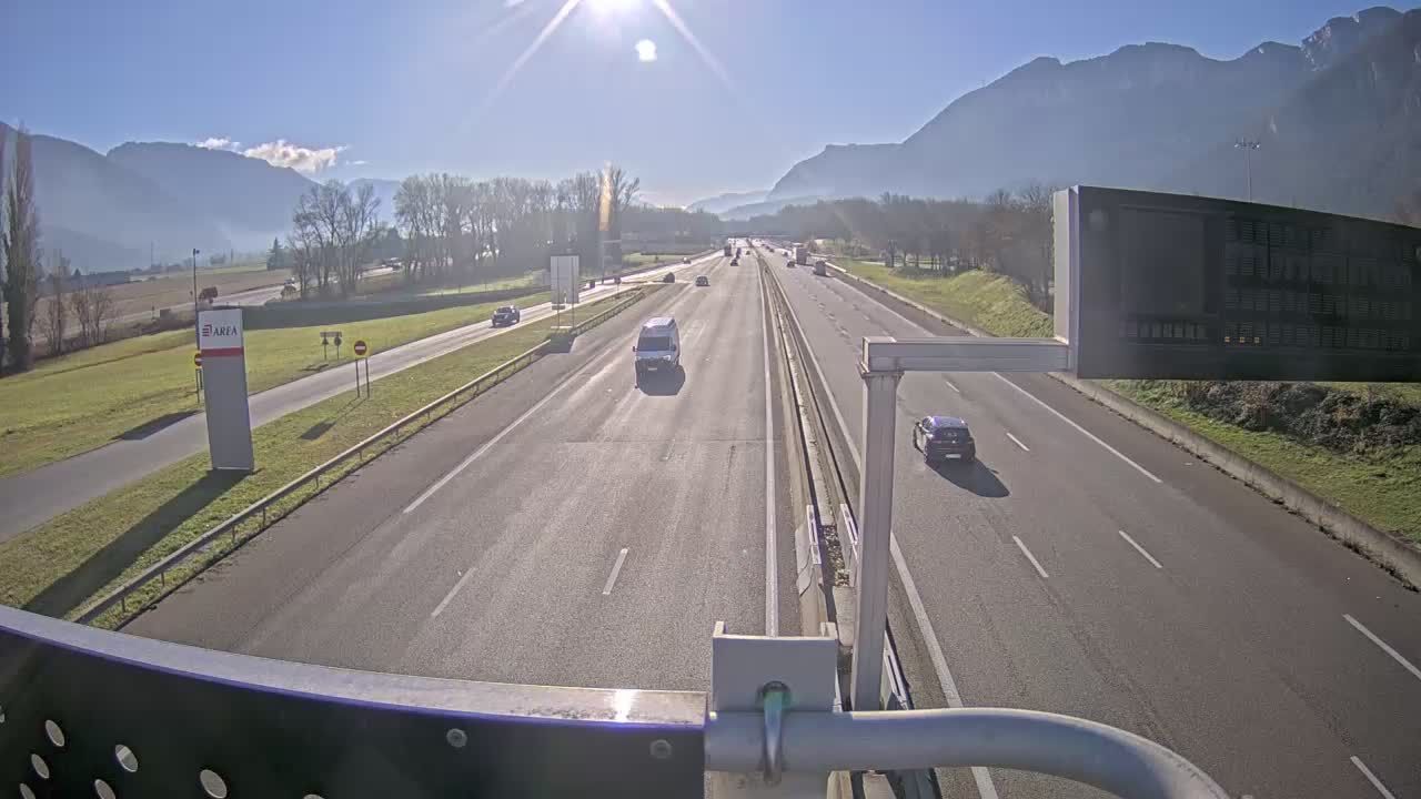
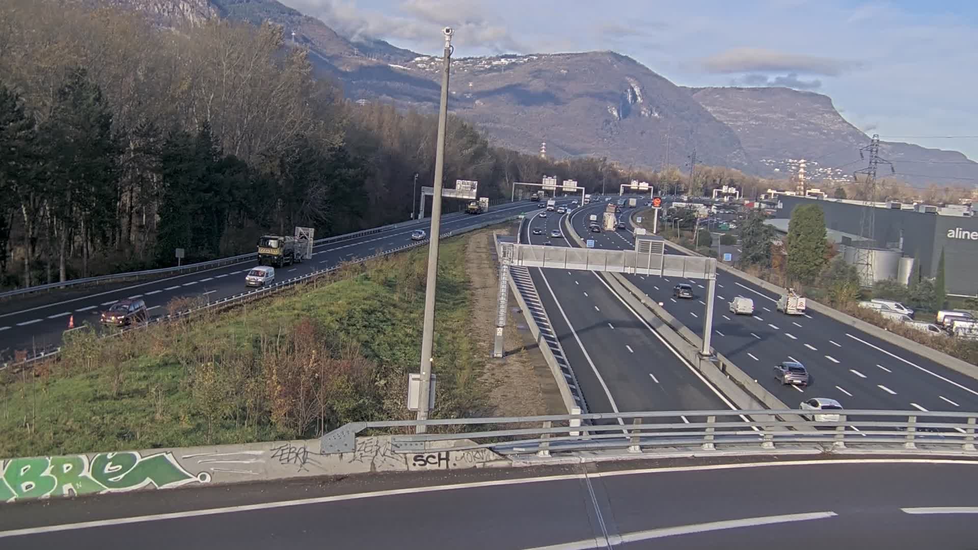
Veurey-Voroize › South: Voreppe-A48 près de Grenoble, à l'entrée de la ville, vue orientée vers Grenoble
6 minutes ago
Distance: 22.6 km
Saint-Jean-en-Royans › North-east: Combe Laval
8 minutes ago
Distance: 23.7 km
Claix › East: Moucherotte - Pic Saint-Michel - Grenoble
3 hours ago
Distance: 24.5 km
Saint-Martin-en-Vercors
8 minutes ago
Distance: 25.1 km
Chabons: Col de Rossatière
7 minutes ago
Distance: 25.5 km
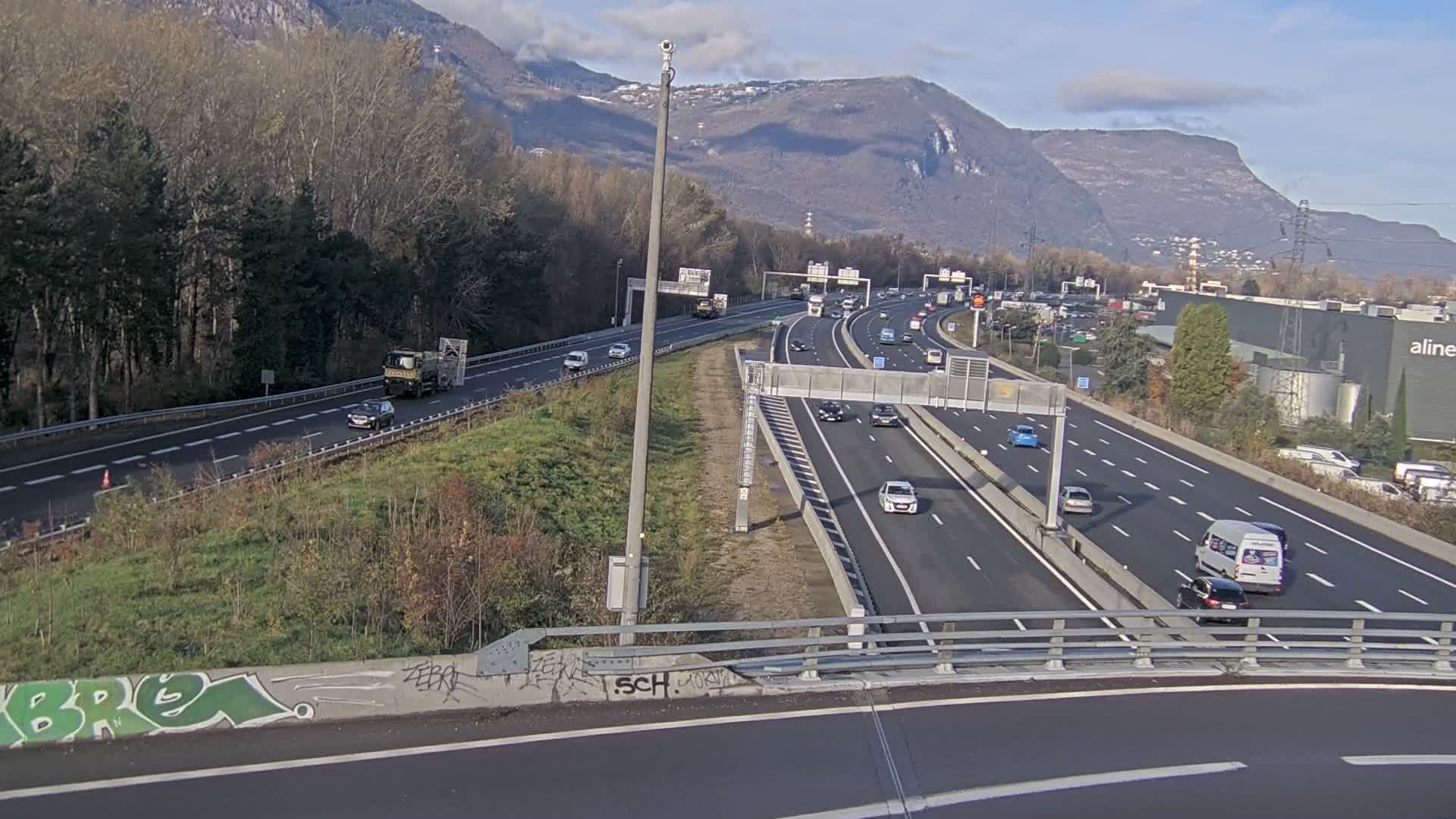
Sassenage: Saint-Égrève-Visualisation du trafic entrant dans Grenoble centre (RN481) et trafic autoroutier entrant et sortant de l'A480
29 seconds ago
Distance: 26.1 km
Saint-Egreve: Entrée de l'A480 au nord de Grenoble
2 minutes ago
Distance: 26.1 km
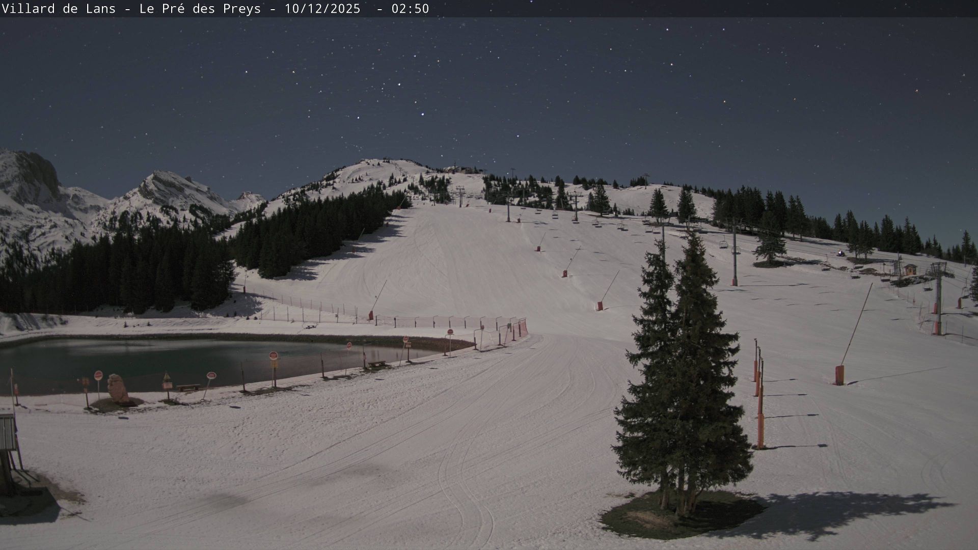
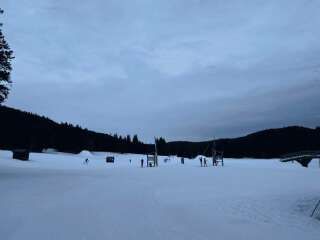
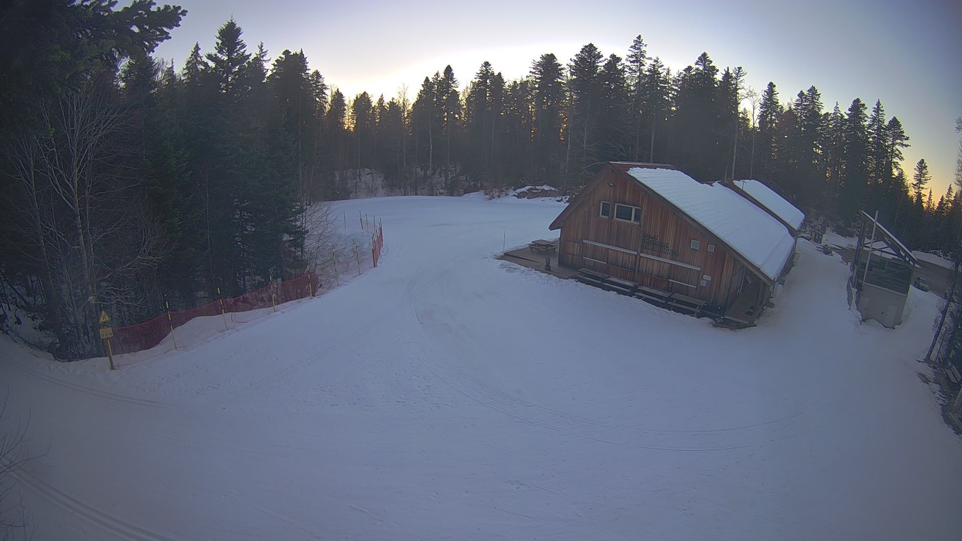
Correncon-en-Vercors: Villard de Lans-Corrençon en Vercors : Domaine alpin Villard/Corrençon : arrivée de la Télécabine Pré des Peys
5 minutes ago
Distance: 26.8 km
Add new webcam
Webcams provided by windy.com


