
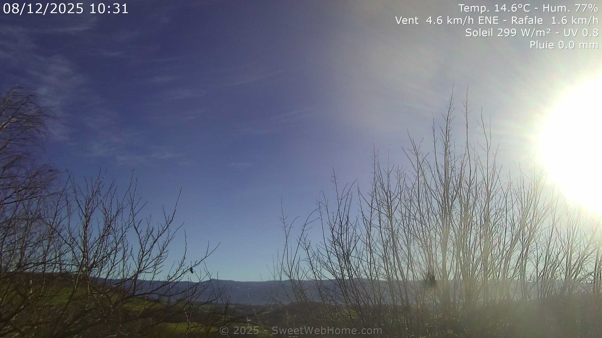
Saint-Appolinard › East: Auvergne-Rhône-Alpes, France
5 minutes ago
Distance: 11.2 km
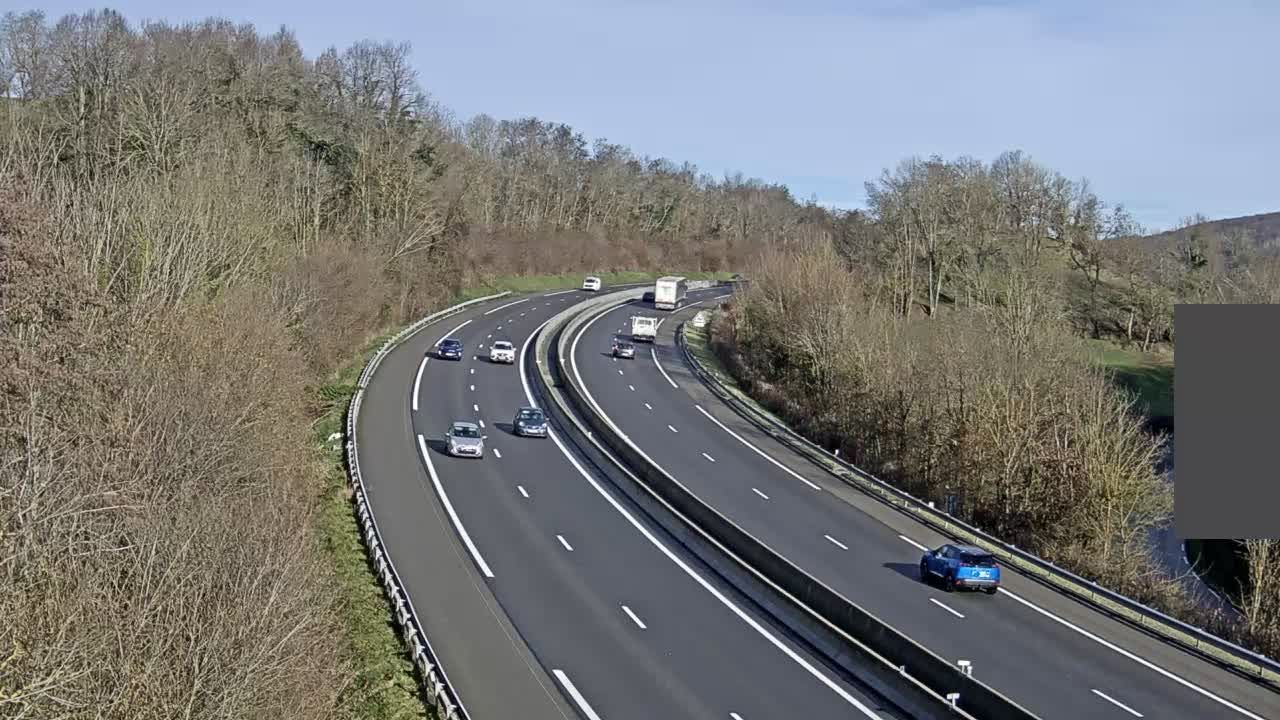
Chabons: Col de Rossatière
12 minutes ago
Distance: 19.8 km
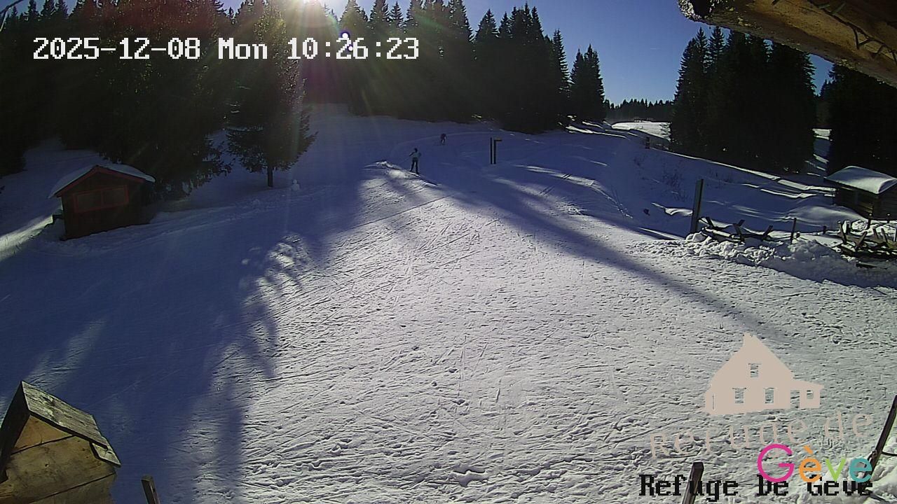
Autrans-Meaudre en Vercors: Refuge Gève
10 minutes ago
Distance: 23.8 km
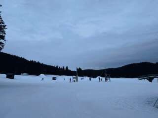
Autrans-Meaudre en Vercors › North: Geve
5 hours ago
Distance: 24 km
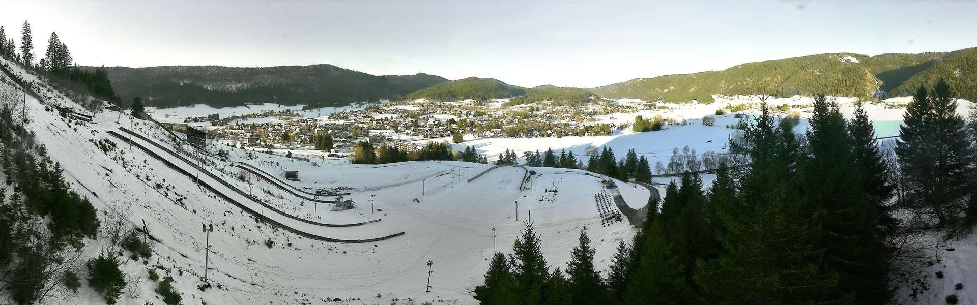
Autrans-Meaudre en Vercors: Autrans (38) Tremplin
5 hours ago
Distance: 24.5 km
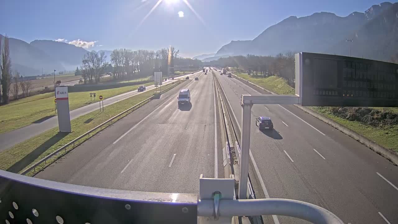
Veurey-Voroize › South: Voreppe-A48 près de Grenoble, à l'entrée de la ville, vue orientée vers Grenoble
5 minutes ago
Distance: 27.4 km
Serezin-de-la-Tour › North-west
1 minute ago
Distance: 29.2 km
Saint-Jean-en-Royans › North-west: Auvergne-Rhône-Alpes, France
5 minutes ago
Distance: 29.5 km
Saint-Jean-en-Royans › South-west
2 minutes ago
Distance: 29.5 km
Saint-Laurent-en-Royans: Combe Laval
2 minutes ago
Distance: 29.6 km
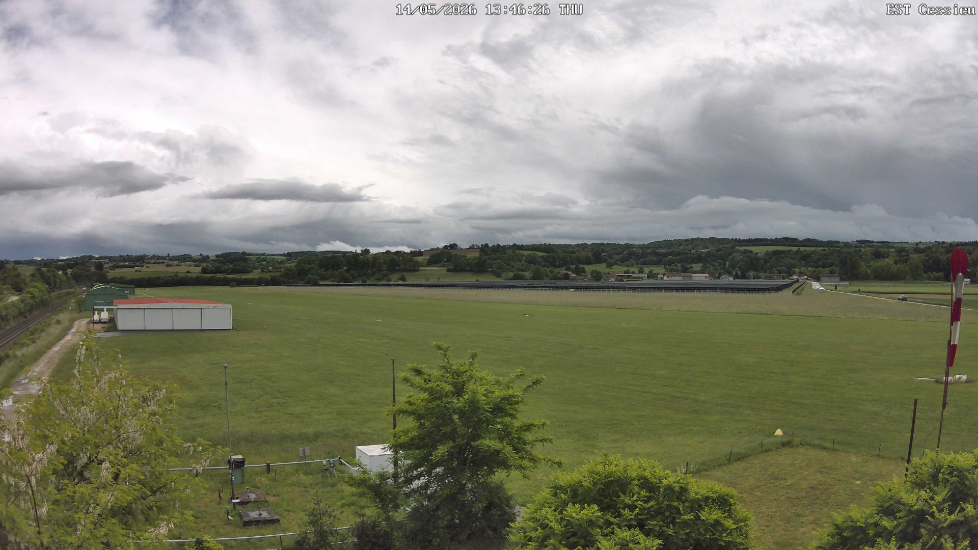
Cessieu › South-east: La Tour-du-Pin - Cessieu Airport
5 minutes ago
Distance: 30.8 km
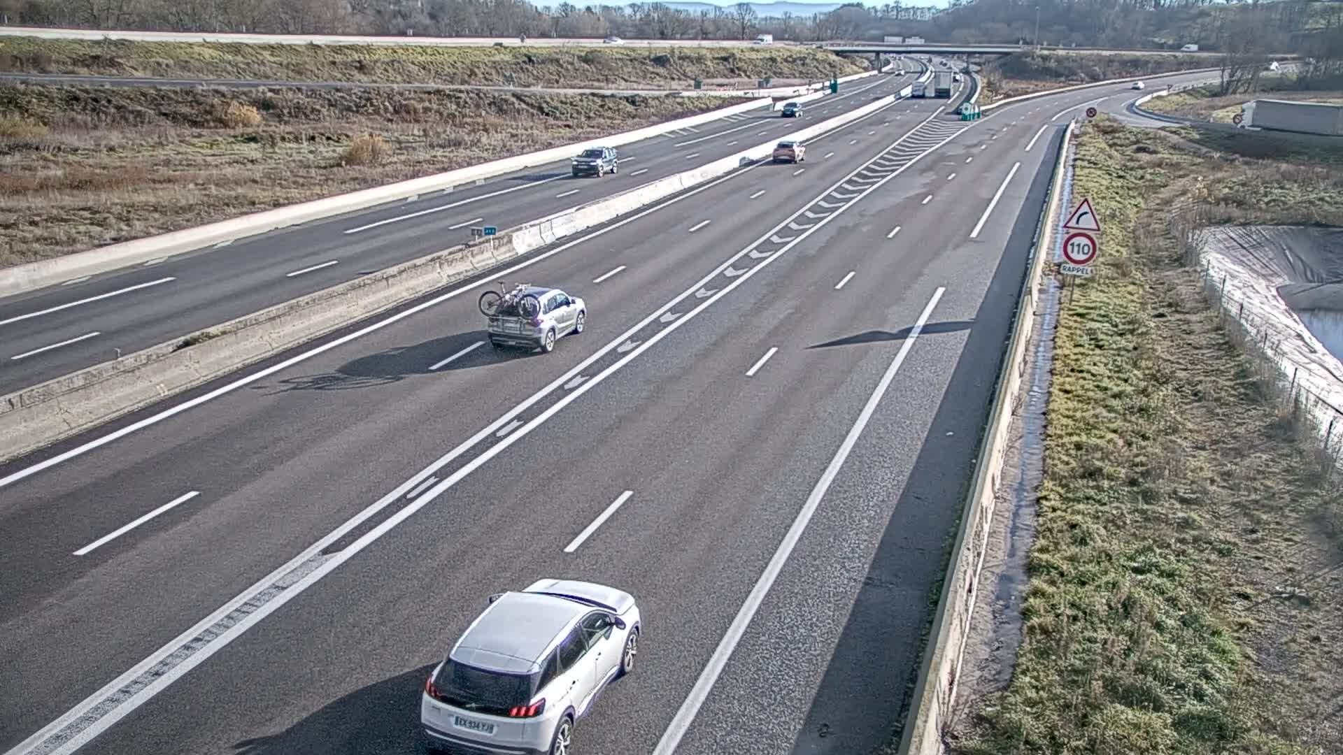
Cessieu › East: A43
1 minute ago
Distance: 31 km
Add new webcam
Webcams provided by windy.com


