
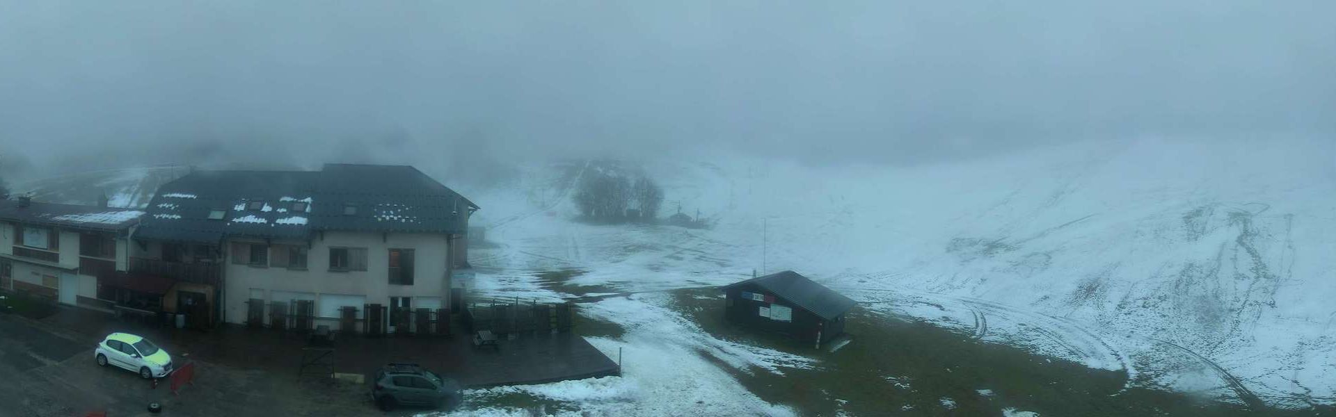
Haut Valromey: Plateau de retord (Les Plans d'Hotonnes)
2 hours ago
Distance: 4.3 km
Plateau d'Hauteville: Hauteville-Lompnes - Auvergne-Rhône-Alpes, France: Pistes de ski alpin
6 minutes ago
Distance: 5.6 km
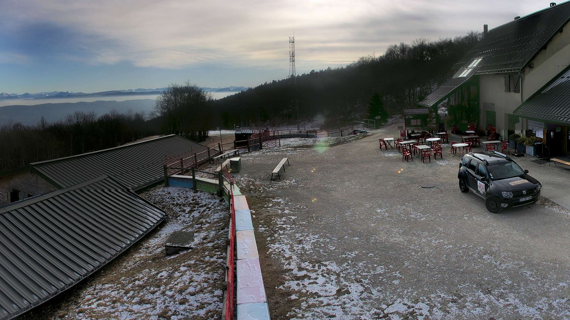
Corbonod › North: DOMAINE NORDIQUE DE SUR-LYAND / GRAND-COLOMBIER
3 hours ago
Distance: 8.3 km
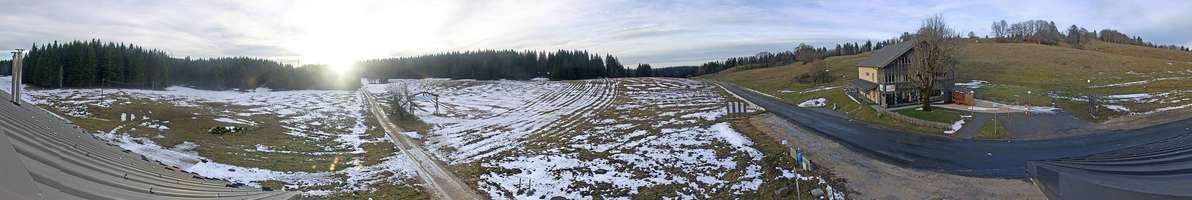
Valserhone: Col de Cuvery
3 hours ago
Distance: 13.2 km
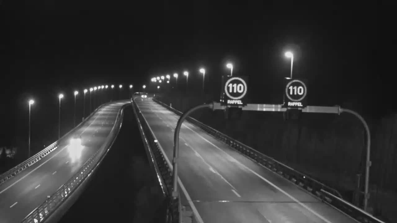
Nantua: Entrée du tunnel de Chamoise
10 minutes ago
Distance: 16.9 km
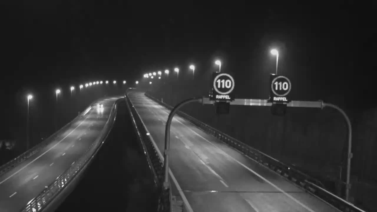
Nantua: A40 près de - Tunnel de Chamoise à proximité de - vue orientée vers Mâcon
8 minutes ago
Distance: 16.9 km
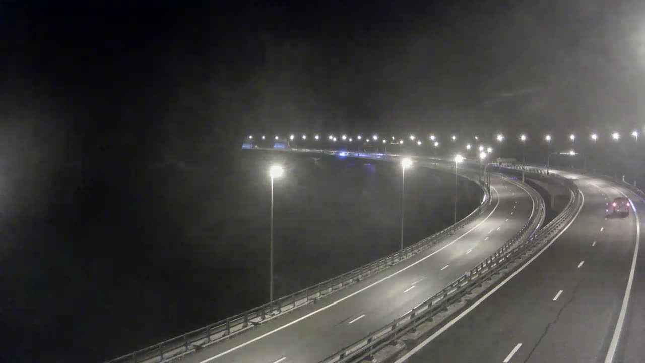
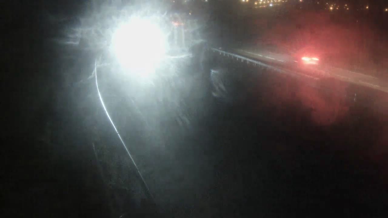
Les Neyrolles: Nantua-A40 près de Nantua, Viaduc de Nantua vue orientée vers Mâcon
7 minutes ago
Distance: 17.1 km
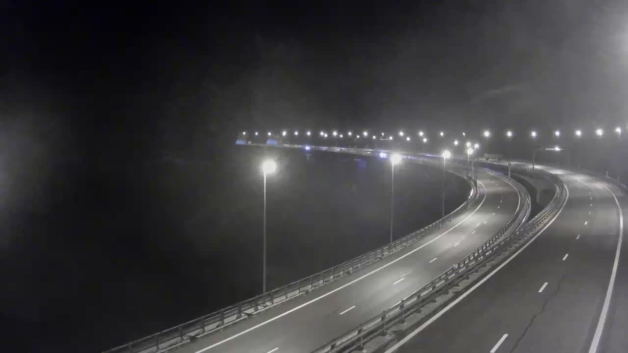
Les Neyrolles: Près de Nantua
10 minutes ago
Distance: 18.4 km
Maillat: Près d'Oyonnax et Nantua
10 minutes ago
Distance: 18.8 km

Ceignes: Nantua-A40 près de Nantua, Descente de Maillat, près d'Oyonnax et Nantua, vue orientée vers Mâcon
9 minutes ago
Distance: 20.6 km
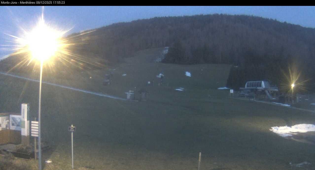
Champfromier: Menthières
13 hours ago
Distance: 23.2 km
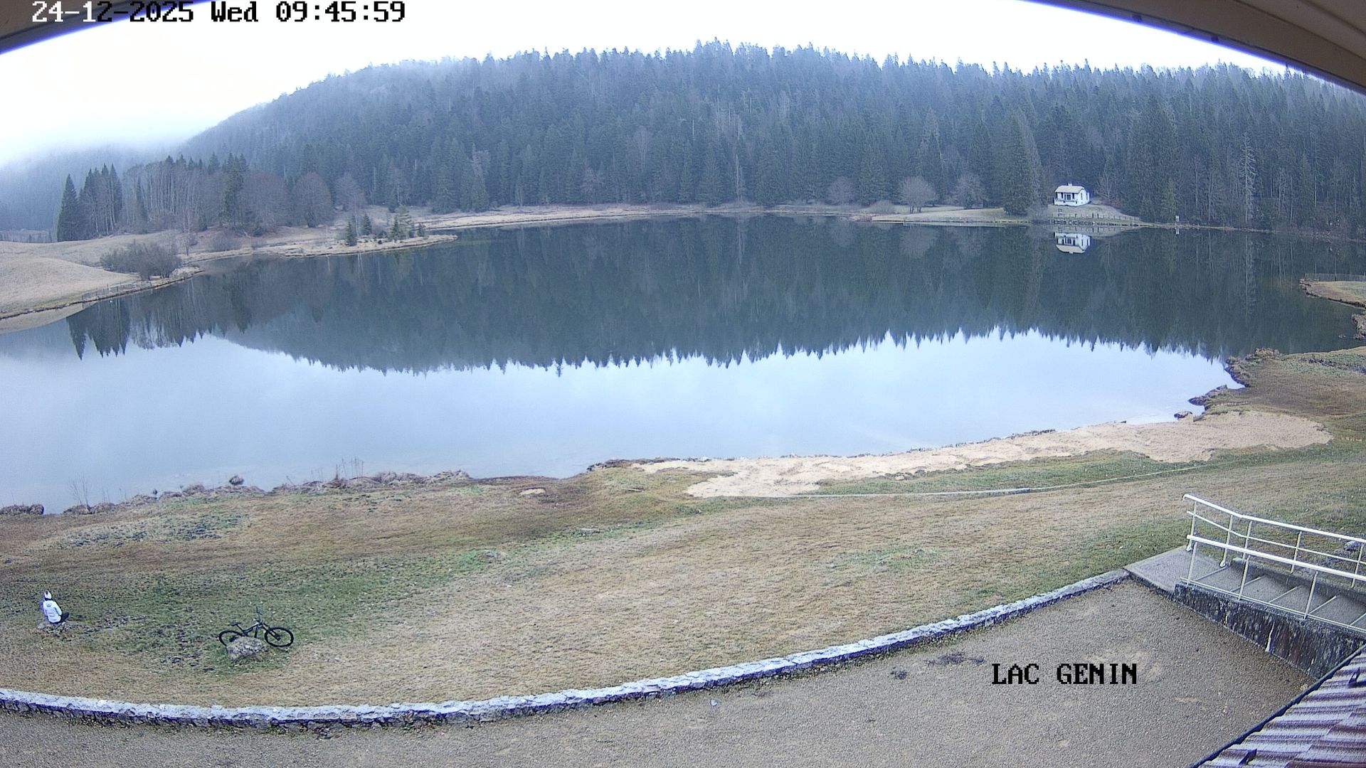
Apremont: Lac Genin
7 minutes ago
Distance: 24.8 km
Add new webcam
Webcams provided by windy.com


