
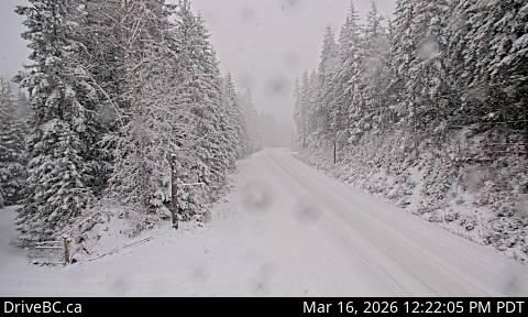
Area H › North: Highway 6, about 4 km south of Slocan Lake View Point, looking north
9 minutes ago
Distance: 14.7 km
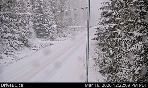
Area H › South: Highway 6, about 4 km south of Slocan Lake View Point, looking south
12 minutes ago
Distance: 14.7 km
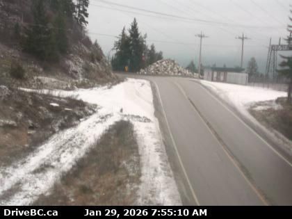
Slocan › South: Highway 6 at Kennedy Road/Lemon Creek Road about 8 km south of - looking south
28 minutes ago
Distance: 15.8 km
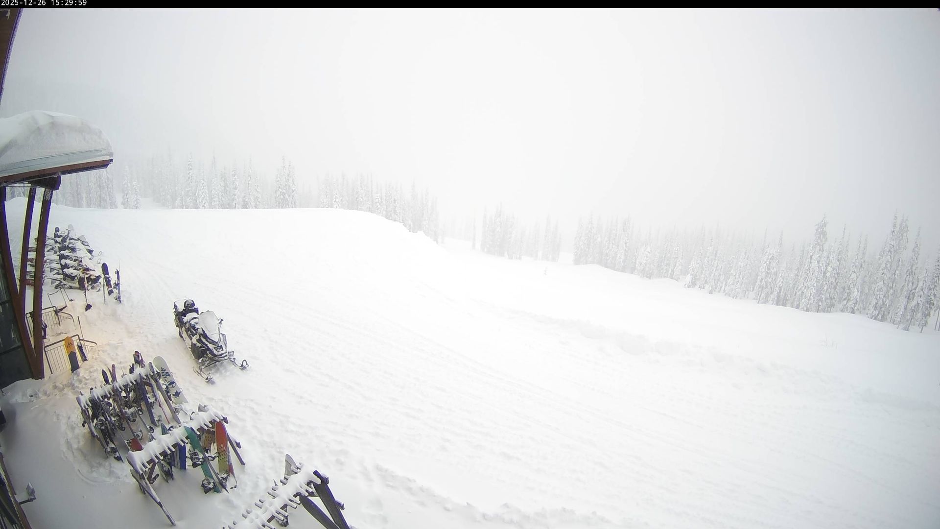
Area F › South-west: Baldface Mountain Lodge
8 minutes ago
Distance: 19.3 km
Area H › West
9 minutes ago
Distance: 19.4 km
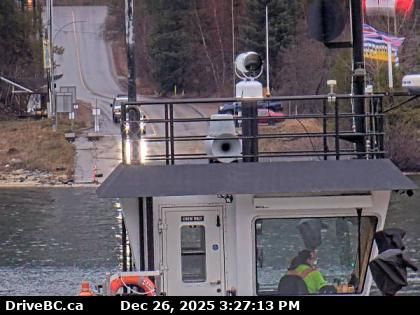
Harrop › North: Ferry Landing on south side of Kootenay Lake, looking at the north side landing
12 minutes ago
Distance: 24 km
Harrop › South: Ferry Landing northbound line-up, looking south
17 minutes ago
Distance: 24 km
Harrop › North: Ferry Landing on the south side of Kootenay Lake, looking north
16 minutes ago
Distance: 24 km
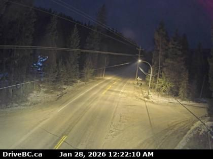
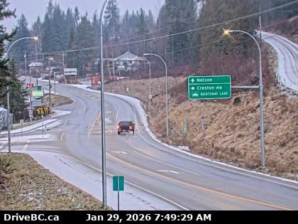
New Denver › North: Highway 6 at Highway 31A in - looking north
8 minutes ago
Distance: 25.7 km
Crawford Bay › North: Highway 31 about 45 km north of Nelson and 25 km south of Kaslo, looking north
9 minutes ago
Distance: 27.8 km
Area E › South-west: Highway 3A and Highway 31 at Balfour ferry terminal entrance of Ferry Landing Road, looking southwest
25 minutes ago
Distance: 28.2 km
Area E › East: Highway 3A and Highway 31 at Busk Road near the Balfour ferry terminal, looking at ferry parking lot
9 minutes ago
Distance: 28.2 km
Add new webcam
Webcams provided by windy.com


