
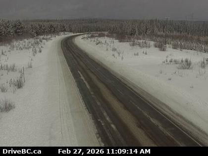
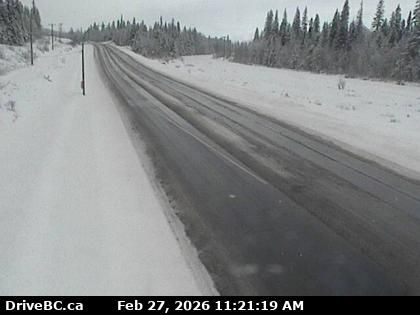
Braeside › North: Highway 27 about 32 km south of Fort St. James, looking north
6 minutes ago
Distance: 11.5 km
Regional District of Bulkley-Nechako › South: Highway 27 about 32 km south of Fort St. James, looking south
7 minutes ago
Distance: 11.5 km
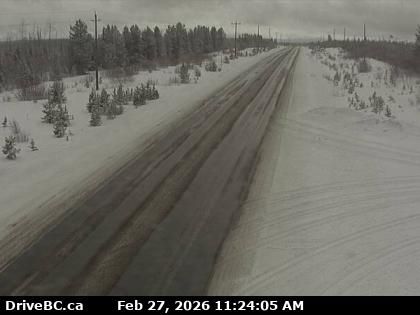
Fort Fraser › East: Highway 16 about 5 km east of - looking east
16 minutes ago
Distance: 15.1 km
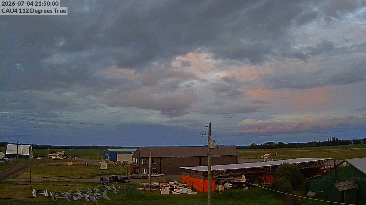
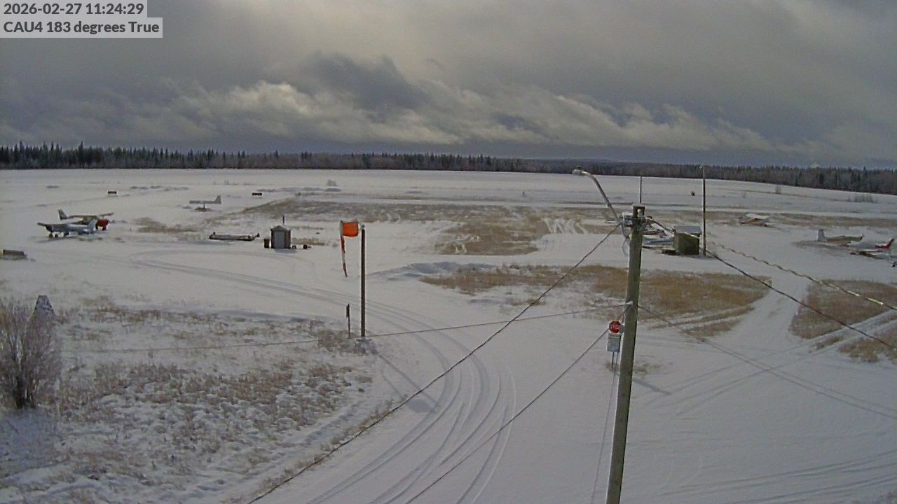
Vanderhoof › East: Vanderhoof Airport (CAU4)
6 minutes ago
Distance: 15.3 km
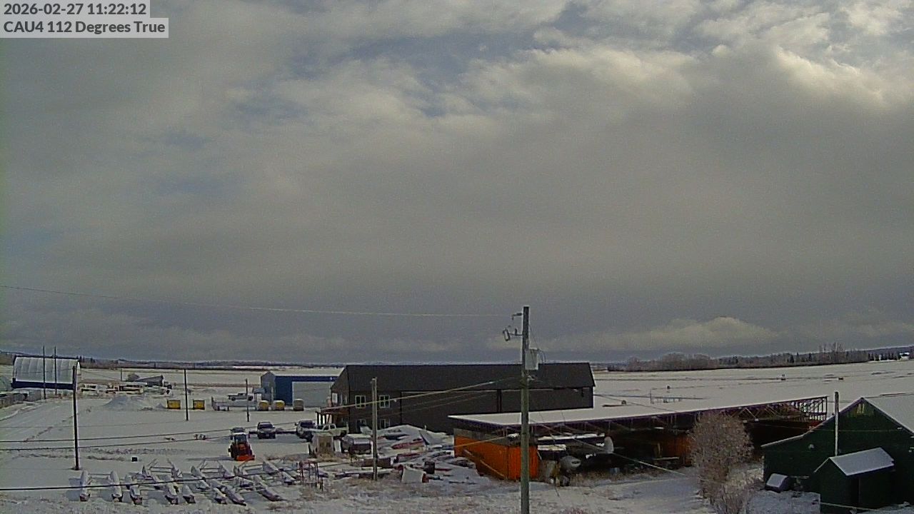
Vanderhoof › East
1 minute ago
Distance: 15.8 km
Vanderhoof › East: Vanderhoof Airport (CAU4)
5 minutes ago
Distance: 16 km
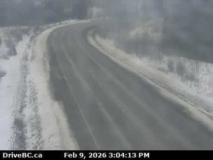
Fraser Lake › East: Highway 16 at Nautley Road, looking east
6 minutes ago
Distance: 23.2 km
Fraser Lake › North: Highway 16 at Nautley Road, looking north
7 minutes ago
Distance: 23.2 km
Fraser Lake › West: Highway 16 at Nautley Road, looking west
17 minutes ago
Distance: 23.2 km
Area C › South: Highway 27 about 12 km south of Fort St. James at Spencer Pit, looking south
15 minutes ago
Distance: 29.2 km
Area C › North: Highway 27 about 12 km south of Fort St. James at Spencer Pit, looking north
17 minutes ago
Distance: 29.2 km
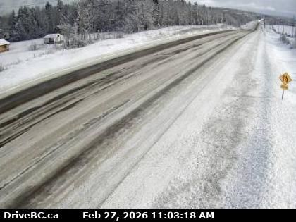
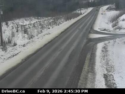
Regional District of Bulkley-Nechako › West: Highway 16 at Sob Lake Road in Vanderhoof, looking west
7 minutes ago
Distance: 36.4 km
Add new webcam
Webcams provided by windy.com


