

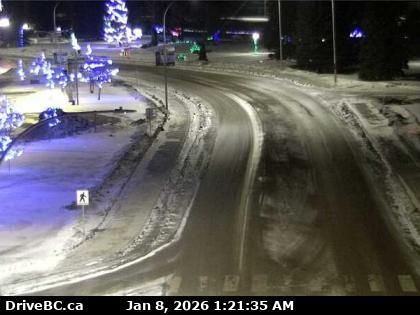
Topley › West: Highway 16 about 39 km west of Burns Lake, looking west
8 minutes ago
Distance: 5.6 km
Area B › South-east: true
9 minutes ago
Distance: 12.3 km

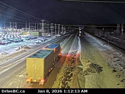
Regional District of Bulkley-Nechako › West: true
18 minutes ago
Distance: 12.3 km

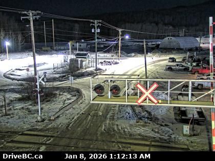
Regional District of Bulkley-Nechako: Burns Lake Airport SE
17 minutes ago
Distance: 12.9 km
Topley › North: Granisle Highway (Highway 118), near summit. Approximately 14.5 km north of - looking north
9 minutes ago
Distance: 28.8 km

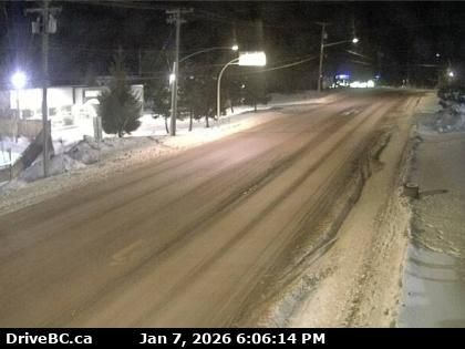
Burns Lake › South: Highway 16 at North Francois Highway in - looking south
3 minutes ago
Distance: 32.2 km
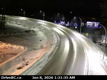
Burns Lake › West: Highway 16 at North Francois Highway in - looking west
6 minutes ago
Distance: 32.2 km

Burns Lake › East: Highway 16 at North Francois Highway in - looking east
18 minutes ago
Distance: 32.2 km
Houston › East: Highway 16 at Butler Avenue in - looking east
6 minutes ago
Distance: 32.7 km
Houston › West: Highway 16 at Butler Avenue in - looking west
8 minutes ago
Distance: 32.7 km
Houston › North: Highway 16 at North Nadina Avenue in - looking north
17 minutes ago
Distance: 34.3 km
Houston › West: Highway 16 at North Nadina Avenue in - looking west
1 minute ago
Distance: 34.3 km
Add new webcam
Webcams provided by windy.com


