
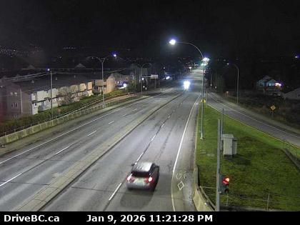
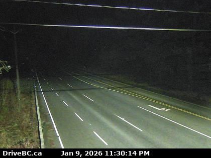
Chilliwack › East: Highway 1 at Prest Road in - looking east
5 minutes ago
Distance: 2.8 km
Chilliwack › North: Highway 1 at Prest Road in - looking north
18 minutes ago
Distance: 2.8 km
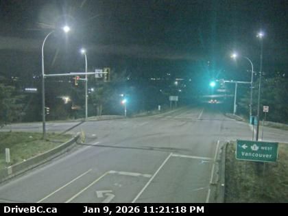
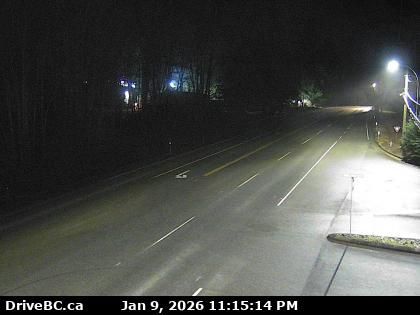
Chilliwack › West: Prest Road - Trans-Canada Highway
20 minutes ago
Distance: 2.8 km
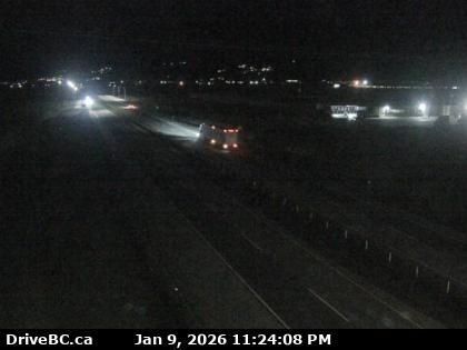
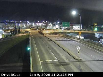
Chilliwack › South: Highway 1 at Prest Road in - looking south
6 minutes ago
Distance: 2.8 km
Chilliwack › North: Highway 1 at Evans Road overpass near - looking north
20 minutes ago
Distance: 3.1 km
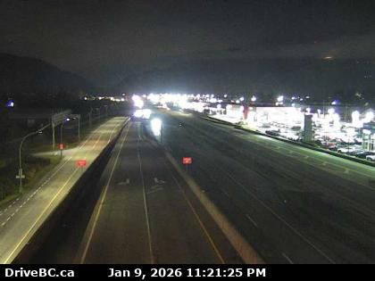
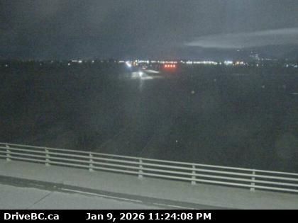
Chilliwack › West: Highway 1 at Evans Road overpass near - looking west
5 minutes ago
Distance: 3.1 km
Chilliwack › East: Highway 1 at Evans Road overpass near - looking east
20 minutes ago
Distance: 3.1 km
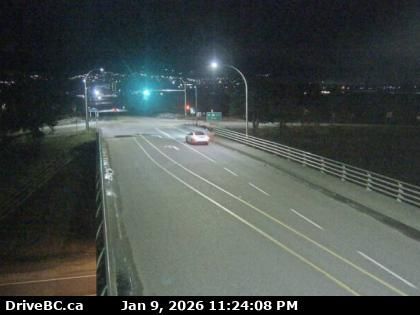
Chilliwack › South: Highway 1 at Evans Road overpass near - looking south
5 minutes ago
Distance: 3.1 km
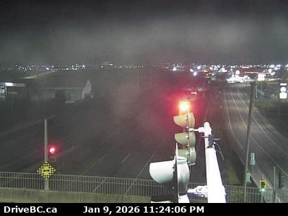
Kent › West: Highway 7 (Lougheed Highway) about 3 km east of Harrison Mills at Highlands Boulevard, looking west
5 minutes ago
Distance: 8.5 km
Chilliwack › East: Highway 7 (Lougheed Highway) about 3 km east of Harrison Mills at Highlands Boulevard, looking east
9 minutes ago
Distance: 8.5 km
Rosedale › North: Highway 1 at Annis Road overpass, looking north
10 minutes ago
Distance: 9 km
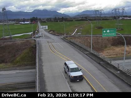
Rosedale › East: Highway 1 at Annis Road overpass, looking east
10 minutes ago
Distance: 9 km
Add new webcam
Webcams provided by windy.com


