
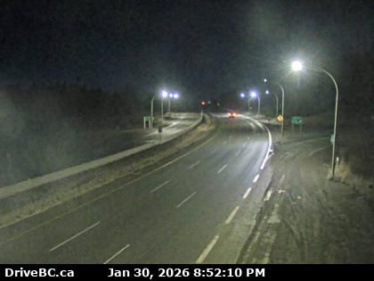
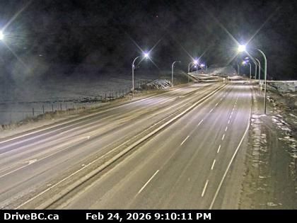
Merritt › North: Highway 5 about 15km south of - at Comstock Road, looking north
17 minutes ago
Distance: 2.9 km
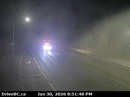
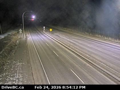
Area N › South: Highway 5 about 15km south of Merritt at Comstock Road, looking south
2 minutes ago
Distance: 2.9 km
Merritt › South-west: true
5 minutes ago
Distance: 12.9 km
Merritt › North-east: true
12 minutes ago
Distance: 12.9 km

Merritt: Airport, BC
2 minutes ago
Distance: 12.9 km
Merritt › South: Highway 97C (Okanagan Connector) at Highway 5A junction near Aspen Grove, looking south
5 minutes ago
Distance: 19.1 km
Aspen Grove › North: Highway 97C (Okanagan Connector) at Highway 5A junction near - looking north
6 minutes ago
Distance: 19.1 km
Thompson-Nicola Regional District › South: Highway 5 about 36 km south of Merritt at Larson Hill, looking south
3 minutes ago
Distance: 22.9 km
Thompson-Nicola Regional District › North: Highway 5 about 36 km south of Merritt at Larson Hill, looking north
6 minutes ago
Distance: 22.9 km
Thompson-Nicola Regional District › West: Highway 97C (Okanagan Connector) about 7 km east of Aspen Grove near Pothole Lake, looking west
4 minutes ago
Distance: 24.3 km
Thompson-Nicola Regional District › East: Highway 97C (Okanagan Connector) about 7 km east of Aspen Grove near Pothole Lake, looking east
5 minutes ago
Distance: 24.3 km
Spaxomin › North: Highway 5 about 24 km north of Merritt at Helmer Interchange, looking north
4 minutes ago
Distance: 35.8 km
Add new webcam
Webcams provided by windy.com


