
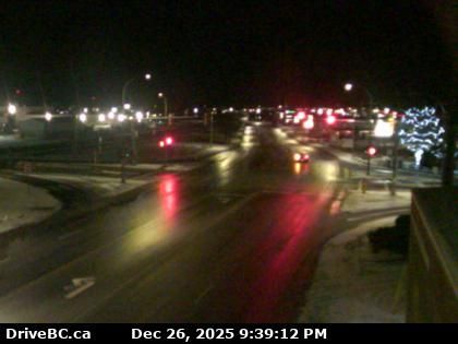
Cranbrook › North-east: Van Horne Street North
9 minutes ago
Distance: 1.4 km

Area C › South-east: Highway 3/93 near Ha Ha Creek Road, looking southeast
8 minutes ago
Distance: 17.9 km

Area C › North-west: Highway 3/93 near Ha Ha Creek Road, looking northwest
8 minutes ago
Distance: 17.9 km
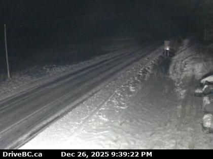
Moyie › North: Highway 3 near the south end of - Lake, looking north
9 minutes ago
Distance: 20.5 km
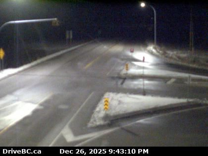
Kimberley: Chapman Camp › South-west: Highway 95A at Black Bear Crescent about 3 km south of Kimberley, looking southwest
3 minutes ago
Distance: 22.8 km
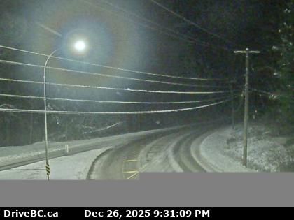
Balls Creek › North: Highway 93/95 at junction of Highway 95A, looking north
7 minutes ago
Distance: 34.5 km
Regional District of East Kootenay › North: Highway 3 about 21 km southwest of Moyie, looking north
13 minutes ago
Distance: 40.3 km
Regional District of East Kootenay › South: Highway 3 about 21 km southwest of Moyie, looking south
12 minutes ago
Distance: 40.3 km
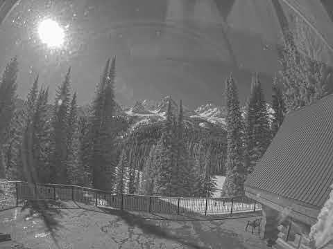
Area A › South-west: Island Lake
4 hours ago
Distance: 42.8 km
Area B: Polar Peak
9 minutes ago
Distance: 47.2 km
Add new webcam
Webcams provided by windy.com


