
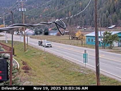
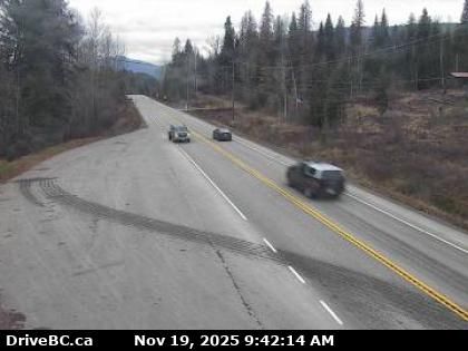
Creston › North: Highway 3 and Highway 3A junction in - looking north
4 minutes ago
Distance: 2.6 km
Creston › South: Highway 3 and Highway 3A junction in - looking south
3 minutes ago
Distance: 2.6 km
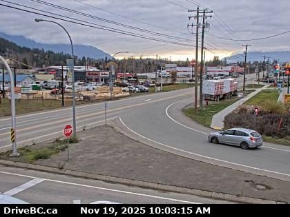
Creston › West: Highway 3 and Highway 3A junction in - looking west
5 minutes ago
Distance: 2.6 km
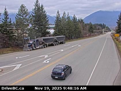
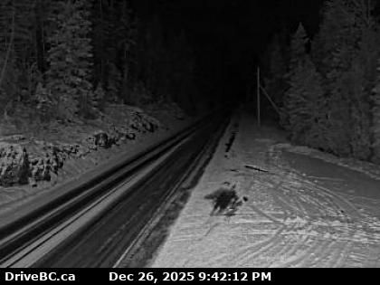
Kitchener › East: Highway 3 about 18 km east of Creston in - looking east
5 minutes ago
Distance: 13.8 km
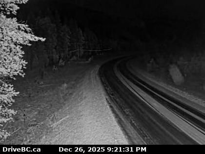
Area B › West: Highway 3 about 9 km northwest of Yahk near Goatfell, looking west
4 minutes ago
Distance: 24.2 km
Area B › East: Highway 3 about 9 km northwest of Yahk near Goatfell, looking east
5 minutes ago
Distance: 24.2 km
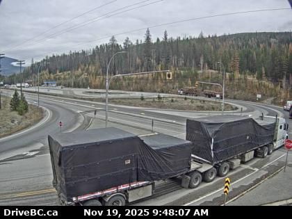
Yahk › North-east: Highway 3 at Highway 95 junction by the - Weigh Scale, looking northeast
5 minutes ago
Distance: 26.3 km
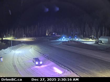
Regional District of Central Kootenay › South: Highway 3A about 1.6 km south of Sanca Creek Bridge, looking south
4 minutes ago
Distance: 34 km
Regional District of East Kootenay › South: Highway 3 about 21 km southwest of Moyie, looking south
3 minutes ago
Distance: 36.7 km
Regional District of East Kootenay › North: Highway 3 about 21 km southwest of Moyie, looking north
4 minutes ago
Distance: 36.7 km
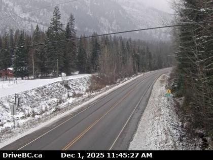
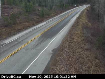
Salmo › East: Highway 3 at - Creston Highway Summit, looking east
12 minutes ago
Distance: 39.4 km
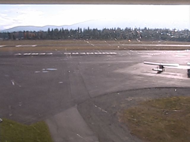
Moyie Springs: Boundary County Airport - Idaho, United States
3 minutes ago
Distance: 43.7 km
Add new webcam
Webcams provided by windy.com


