
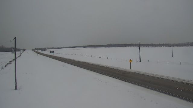
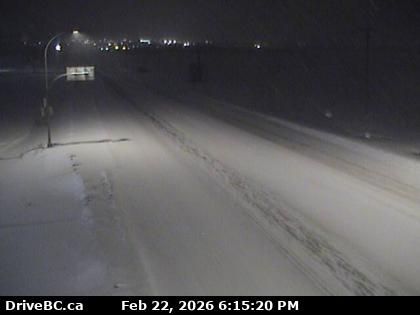
Grande Prairie: Hwy 43: East of Alberta/BC border near Demmit
1 minute ago
Distance: 6.9 km

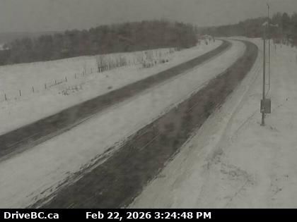
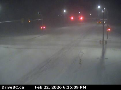
Peace River Regional District › West: Highway 2 about 2 km west of BC/Alberta border at Highway 2 and Highway 52 junction, looking west
1 minute ago
Distance: 9 km
Peace River Regional District › East: Highway 2 about 2 km west of BC/Alberta border at Highway 2 and Highway 52 junction, looking east
40 seconds ago
Distance: 9 km
Dawson Creek › South-west: true
8 minutes ago
Distance: 36.7 km
Dawson Creek › North-east: true
1 minute ago
Distance: 36.7 km
Pouce Coupe: Dawson Creek Airport NE
11 minutes ago
Distance: 36.7 km
Pouce Coupe › North-west: Dawson Creek Regional Airport
1 minute ago
Distance: 36.7 km
Dawson Creek › East: Highway 97 at Dangerous Goods Route, west of - looking east
1 minute ago
Distance: 42.2 km
Dawson Creek › West: Highway 97 at Dangerous Goods Route, west of - looking west
11 minutes ago
Distance: 42.2 km
Dawson Creek › South: Highway 97 at Dangerous Goods Route, west of - looking south
11 minutes ago
Distance: 42.2 km
Dawson Creek › North: Highway 97 at Dangerous Goods Route, west of - looking north
11 minutes ago
Distance: 42.2 km
Beaverlodge: Hwy 43: East of Jct 723 near
13 minutes ago
Distance: 43.9 km
Add new webcam
Webcams provided by windy.com


