
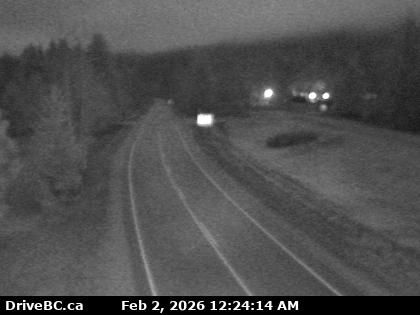
Area K › East: Highway 6 at Starlite Road, looking east towards Burton
9 minutes ago
Distance: 0.4 km
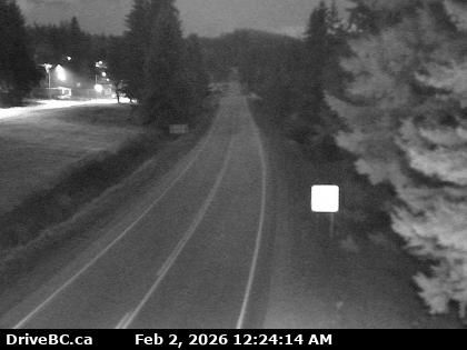
Area K › West: Highway 6 at Starlite Road, looking west towards Fauquier
9 minutes ago
Distance: 0.4 km
Fauquier › East: Highway 6 at - Ferry Landing, looking east
7 minutes ago
Distance: 0.7 km
Fauquier › West: Highway 6 at - Ferry Landing, looking west
3 minutes ago
Distance: 0.7 km
Fauquier › East: Highway 6 at front Needles Ferry Landing line up, looking east
9 minutes ago
Distance: 1.8 km
Fauquier › West: Highway 6 at front of Needles Ferry Landing line up, looking west
8 minutes ago
Distance: 1.8 km
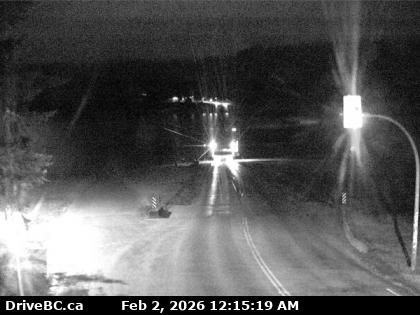
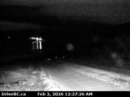
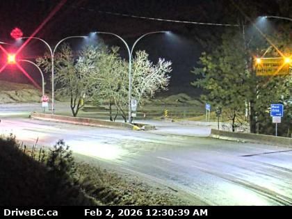
Area K › East: Highway 6 at Needles Ferry Landing, looking east to ferry landing
1 minute ago
Distance: 2 km
Area K › West: Highway 6 at Needles Ferry Landing, looking west away from ferry landing towards Needles Road N
19 minutes ago
Distance: 2 km
Area K › East: Highway 6 at Needles Ferry Landing, looking east towards front of line up near the rest area
2 minutes ago
Distance: 2 km
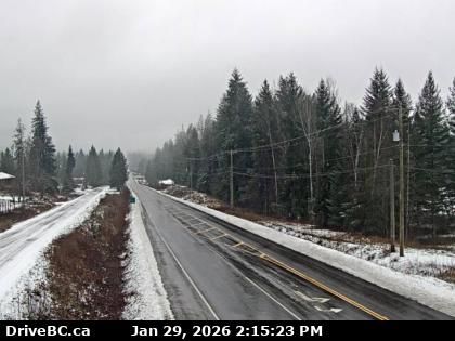
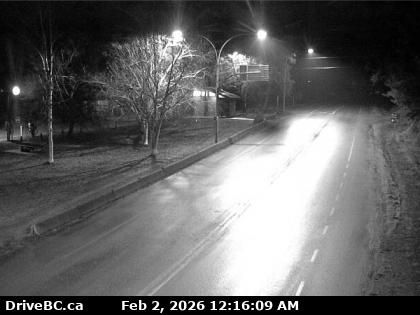
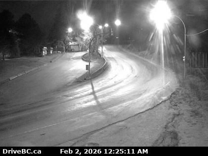
Area K › South: Highway 6 in Burton at Burton Main Road, about 22 km north of Fauquier, looking south
20 minutes ago
Distance: 19 km
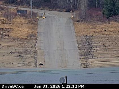
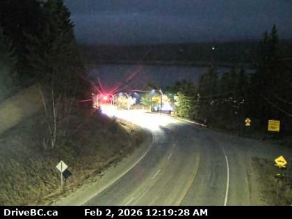
Area K › North: Highway 6 at South Arrow Park Ferry Terminal, 22 km south of Nakusp at junction of Upper and Lower Arrow Lakes, looking at north landing
2 minutes ago
Distance: 28.4 km
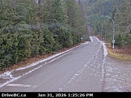
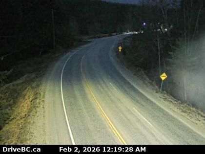
Area K › South: Highway 6 at South Arrow Park Ferry Terminal, 22 km south of Nakusp at junction of Upper and Lower Arrow Lakes, looking south on Arrow Park Road
2 minutes ago
Distance: 28.4 km
Add new webcam
Webcams provided by windy.com


