
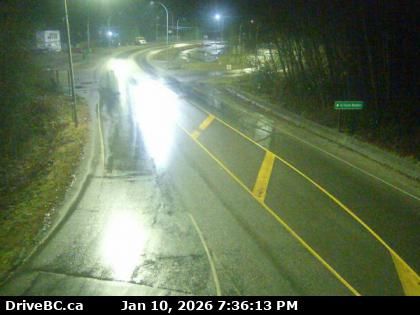
Gibsons › South: Highway 101 at top of - Bypass at Stewart Road, looking south
11 minutes ago
Distance: 3.5 km
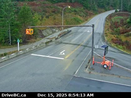
Gibsons › North: Highway 101 at top of - Bypass at Stewart Road, looking north
7 minutes ago
Distance: 3.5 km
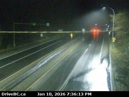
Gibsons › North-east: Highway 101 at top of - Bypass at Stewart Road, looking northeast
3 minutes ago
Distance: 3.5 km
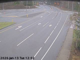
Area F › West
1 minute ago
Distance: 4.9 km
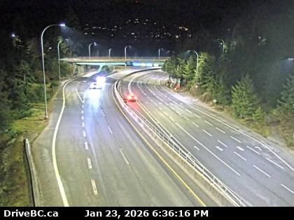
West Vancouver › East: Highway 99 - Trans-Canada Highway
2 minutes ago
Distance: 17.3 km
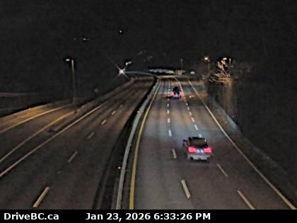
West Vancouver: Eagle Island › West: Highway 99 at Highway 1 ramp to Horseshoe Bay, looking west
3 minutes ago
Distance: 17.3 km
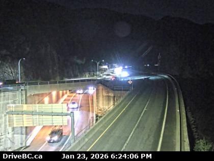
Lions Bay › South: Hwy 99, in - looking south
6 minutes ago
Distance: 20.6 km
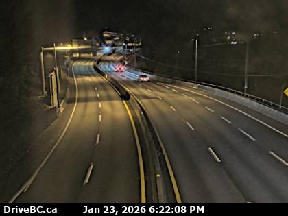
Lions Bay › North: Highway 99 in - looking north
12 minutes ago
Distance: 20.6 km
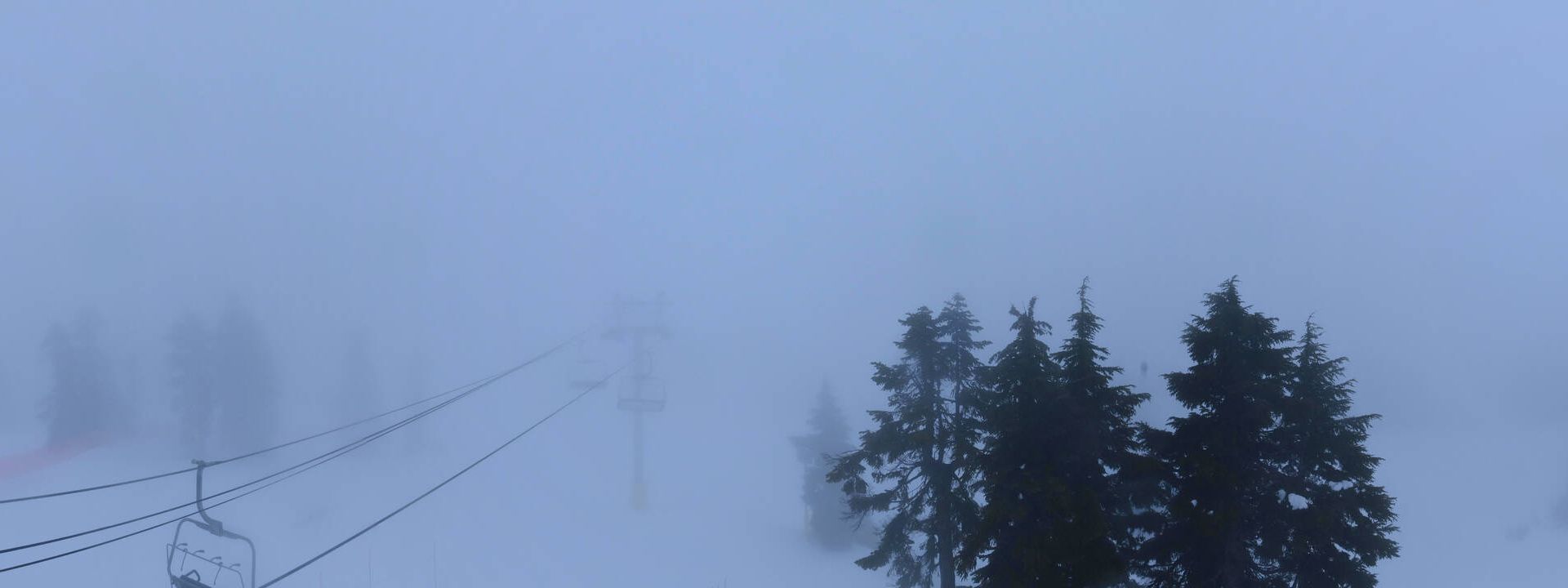
Electoral Area A: Mount Strachan
5 minutes ago
Distance: 22.4 km
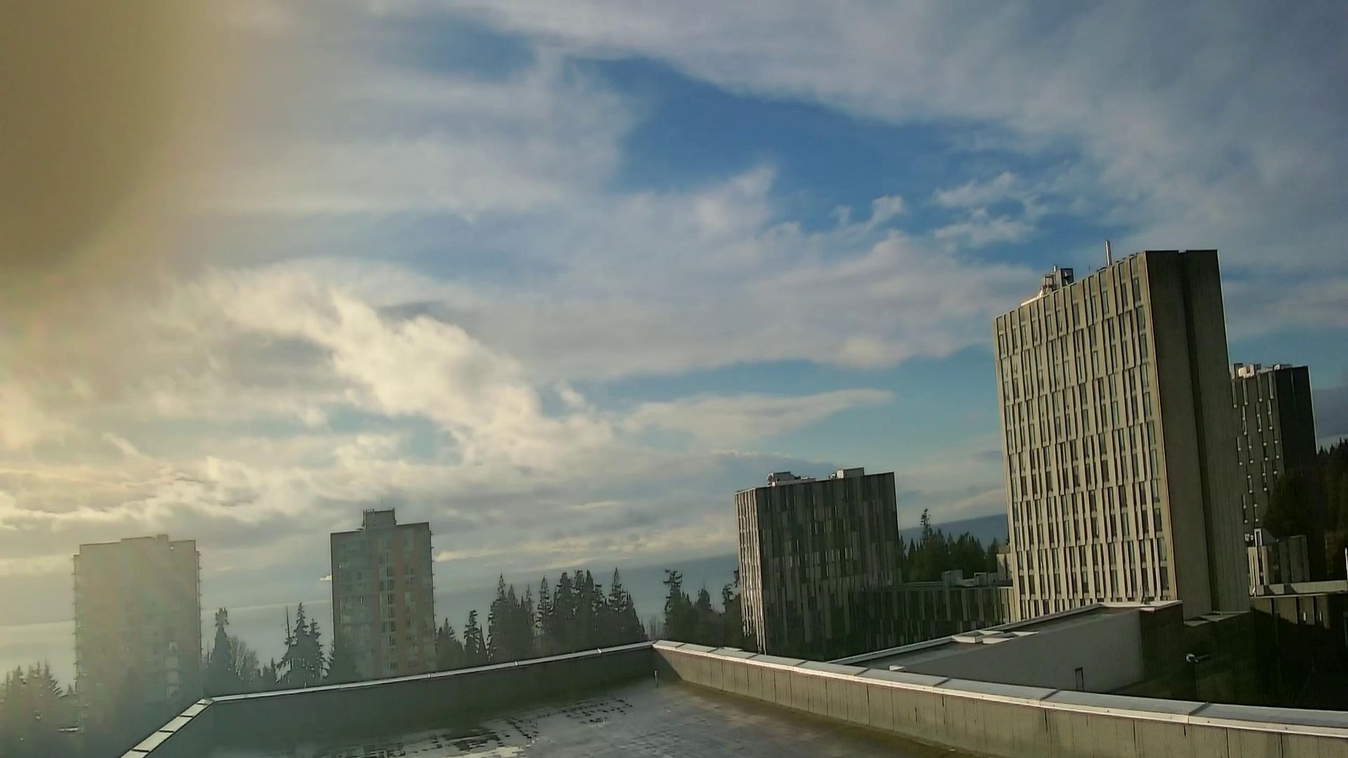
North Vancouver: West Vancouver 2
1 minute ago
Distance: 23.2 km
Electoral Area A › West
4 minutes ago
Distance: 24.1 km
West Vancouver › East: true
13 minutes ago
Distance: 24.1 km
Add new webcam
Webcams provided by windy.com


