
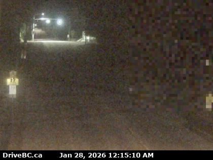
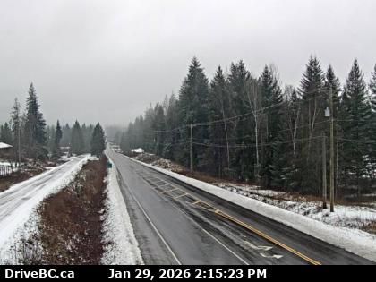
New Denver › North: Highway 6 at Highway 31A in - looking north
10 minutes ago
Distance: 0.3 km
Area H › West
10 minutes ago
Distance: 6.4 km
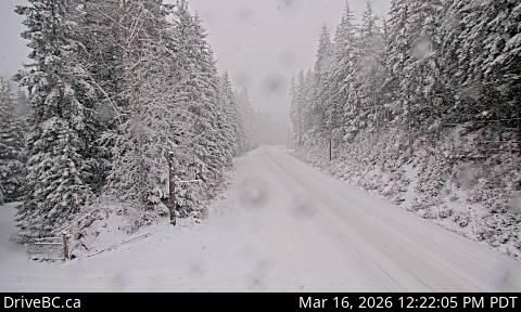
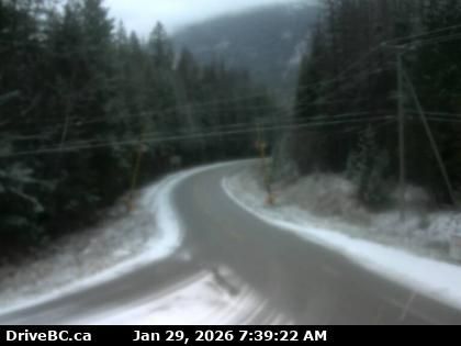
Area H › North: Highway 6, about 4 km south of Slocan Lake View Point, looking north
12 minutes ago
Distance: 12.7 km
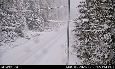
Area H › South: Highway 6, about 4 km south of Slocan Lake View Point, looking south
7 minutes ago
Distance: 12.7 km

New Denver › West: Highway 31A at Retallack between - and Kaslo, looking west
7 minutes ago
Distance: 17.1 km
Slocan › South: Highway 6 at Kennedy Road/Lemon Creek Road about 8 km south of - looking south
43 minutes ago
Distance: 33.2 km
Kaslo › West: Highway 31 at Highway 31A Junction in - looking westbound
20 minutes ago
Distance: 34.4 km
Kaslo › North: Highway 31 at Highway 31A Junction in - looking northbound
21 minutes ago
Distance: 34.4 km
Kaslo › South: Highway 31 at Highway 31A Junction in - looking southbound
7 minutes ago
Distance: 34.4 km
Area K › South: Highway 6 in Burton at Burton Main Road, about 22 km north of Fauquier, looking south
9 hours ago
Distance: 35.9 km
Argenta › South: Highway 31 at Duncan Lake Road about 35 km north of Kaslo, looking south
11 minutes ago
Distance: 37.3 km
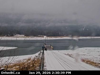
Area K › North: Highway 6 at South Arrow Park Ferry Terminal, 22 km south of Nakusp at junction of Upper and Lower Arrow Lakes, looking north
11 minutes ago
Distance: 39.6 km
Add new webcam
Webcams provided by windy.com


