

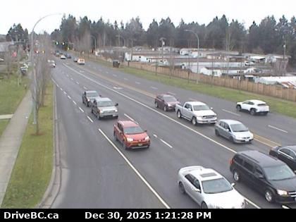
Powell River › West: true
7 minutes ago
Distance: 1.9 km
Powell River › South-east: Powell River Airport
5 minutes ago
Distance: 1.9 km

Powell River: Airport SE
9 minutes ago
Distance: 1.9 km

Area A › North: Highway 101 about 8.5 km south of Lund, looking north
7 minutes ago
Distance: 16.8 km

Area A › South: Highway 101 about 8.5 km south of Lund, looking south
7 minutes ago
Distance: 16.8 km
Stillwater › South: Highway 101 near Loubert Road in the qathet Regional District, looking south
9 minutes ago
Distance: 17.2 km
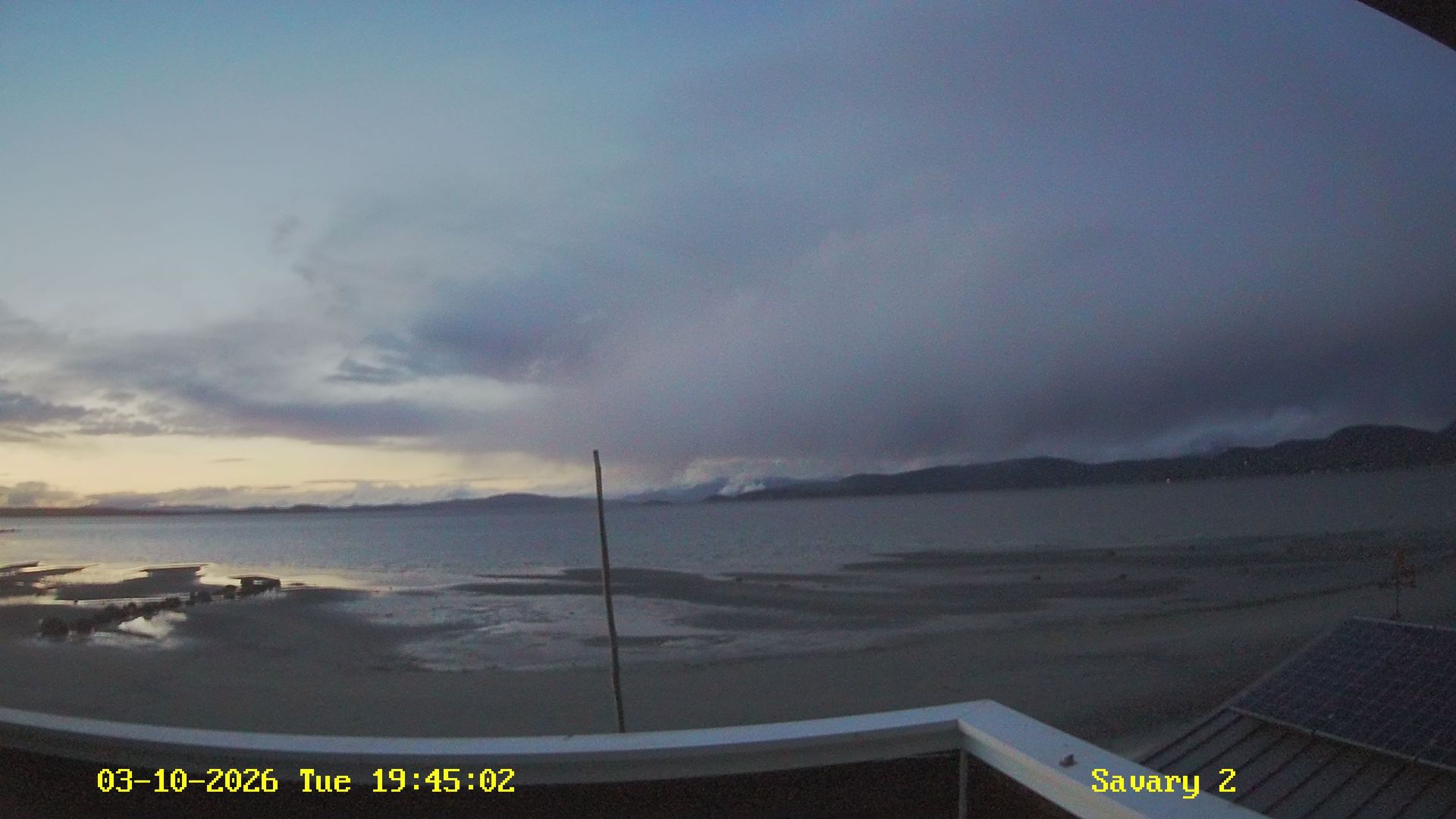
Teeshohsum: Savary Island
13 minutes ago
Distance: 23.9 km
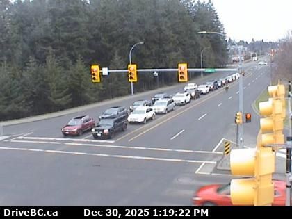
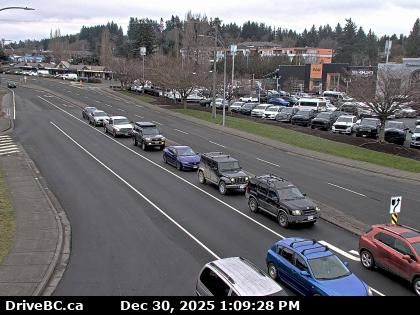
Courtenay › North: Intersection of Ryan Road and Lerwick Road in - looking north
18 minutes ago
Distance: 34.5 km

Courtenay › East: Intersection of Ryan Road and Lerwick Road in - looking east
18 minutes ago
Distance: 34.5 km
Courtenay › South: Intersection of Ryan Road and Lerwick Road in - looking south
2 minutes ago
Distance: 34.5 km

Courtenay › West: Intersection of Ryan Road and Lerwick Road in - looking west
7 minutes ago
Distance: 34.5 km
Courtenay › North: Highway 19A at Ryan Road in - looking northbound
8 minutes ago
Distance: 36.6 km
Add new webcam
Webcams provided by windy.com


