
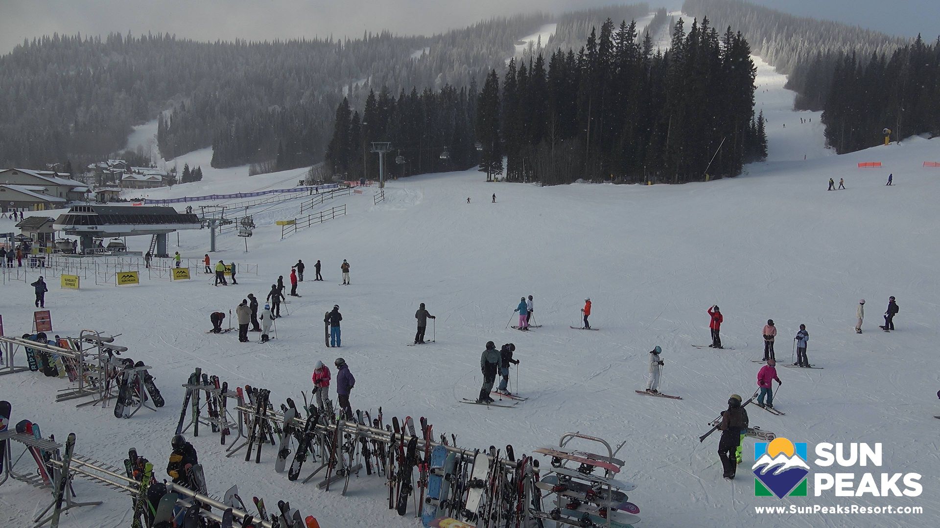
Sun Peaks Mountain Resort Municipality: Village Daylodge
4 minutes ago
Distance: 2 km
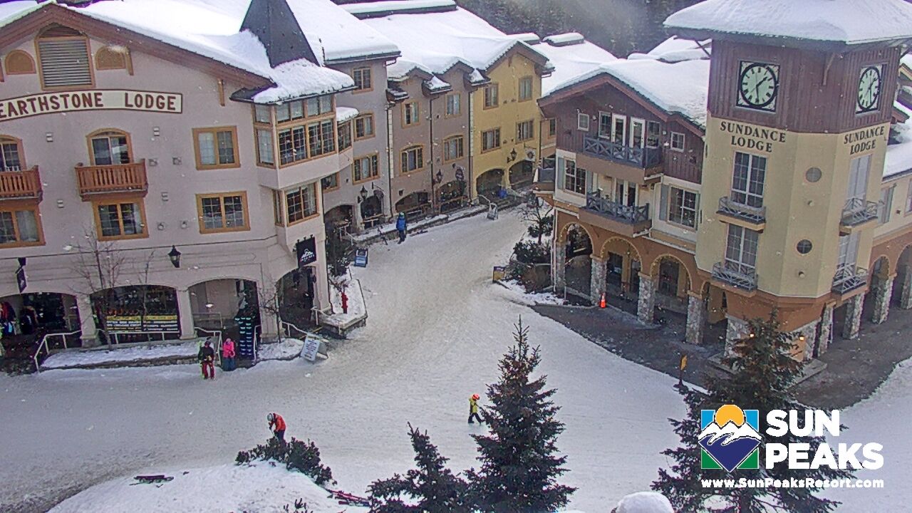
Sun Peaks Mountain Resort Municipality › South-west: Village Square
1 hour ago
Distance: 2 km
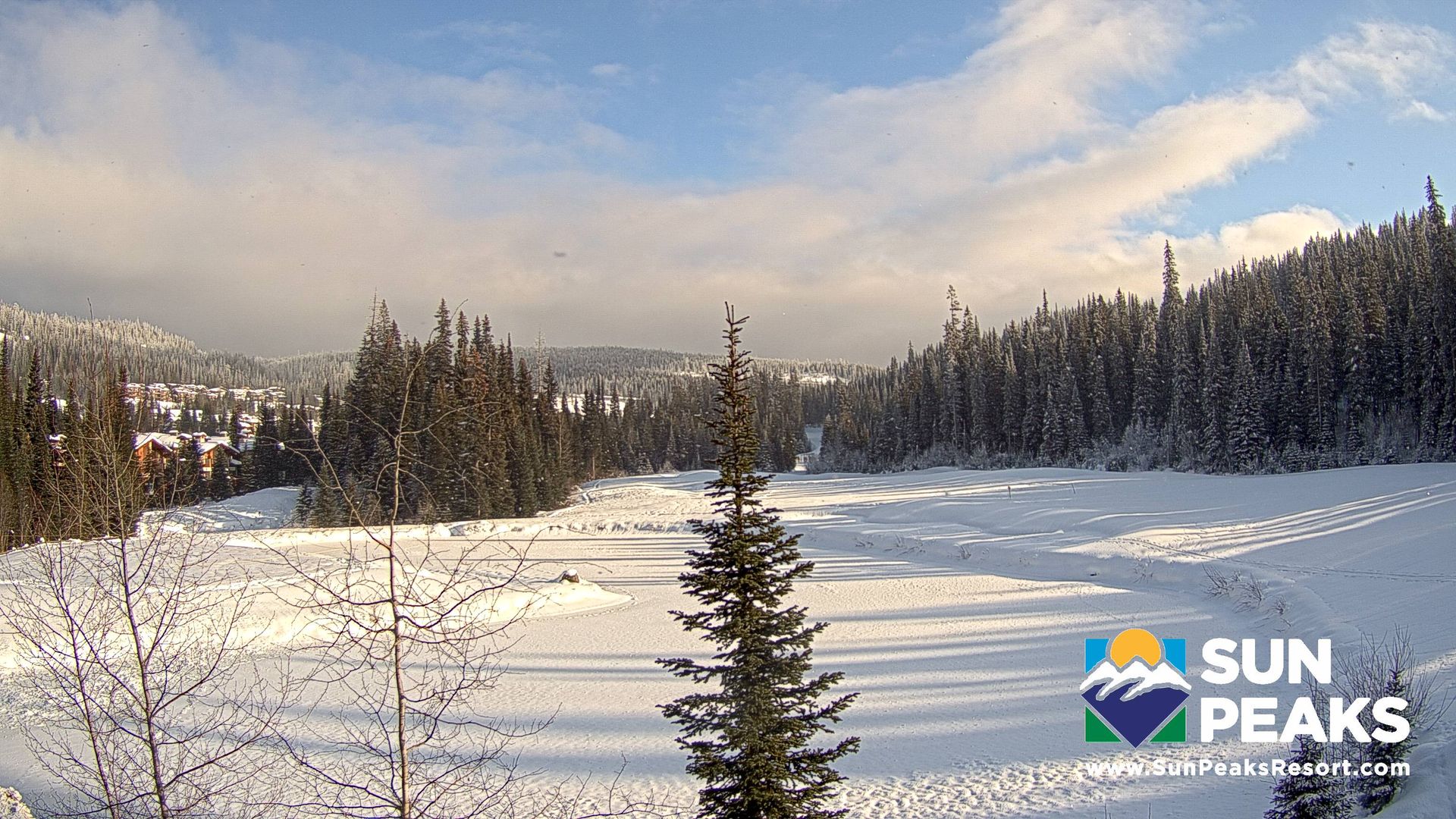
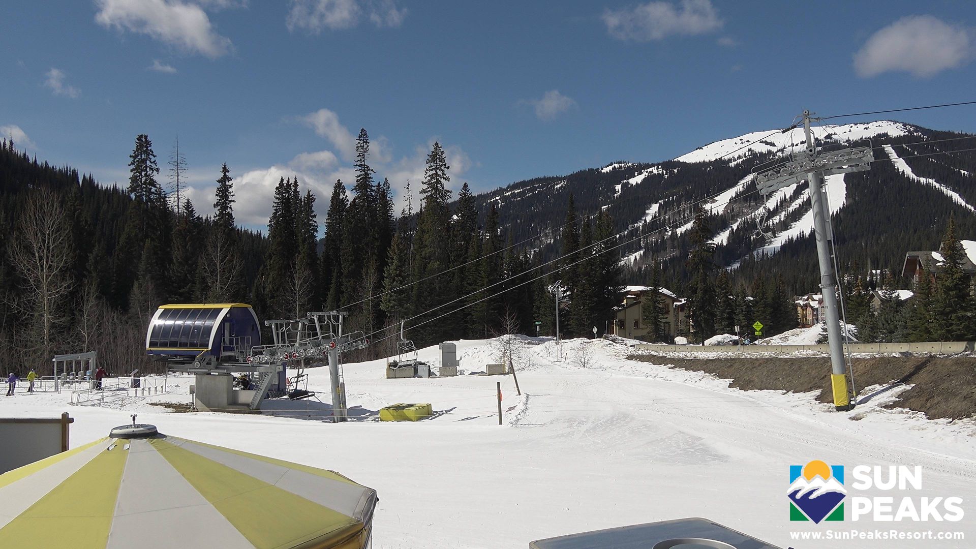
Sun Peaks Mountain Resort Municipality › North-west: Mount Tod Drive
1 minute ago
Distance: 2.1 km
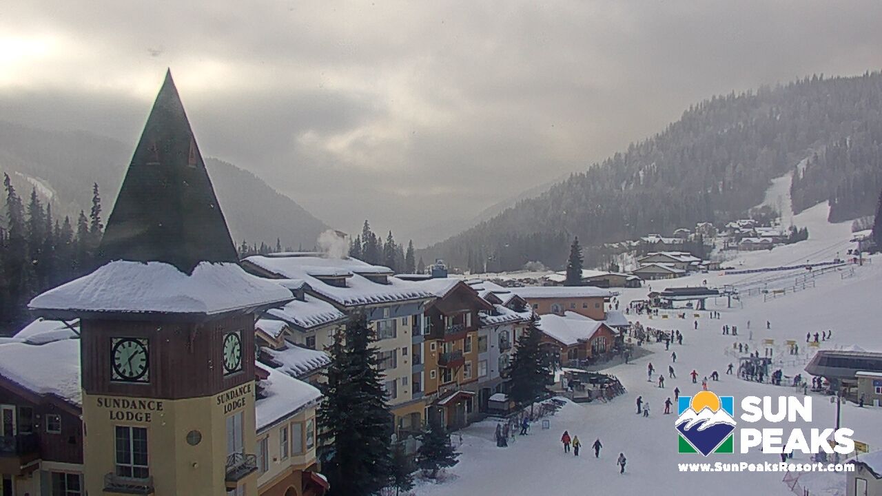
Sun Peaks Mountain Resort Municipality: Sundance Lodge
2 hours ago
Distance: 2.1 km
Sun Peaks Mountain Resort Municipality: Sun Peaks Golf Course
1 minute ago
Distance: 2.5 km
Sun Peaks Mountain Resort Municipality › South: Mount Morrisey
5 minutes ago
Distance: 2.7 km
Sun Peaks Mountain Resort Municipality: Crystal Bowl Circle
1 minute ago
Distance: 2.8 km
Sun Peaks Mountain Resort Municipality: Nancy Greene's Cahilty Lodge
4 minutes ago
Distance: 2.8 km
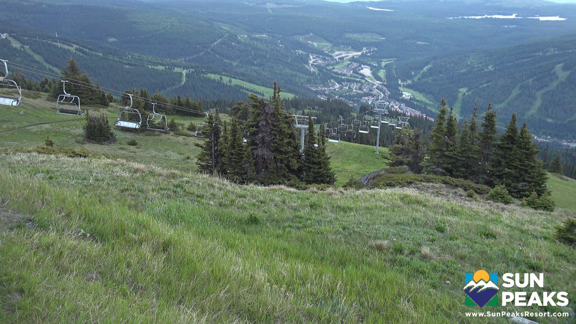
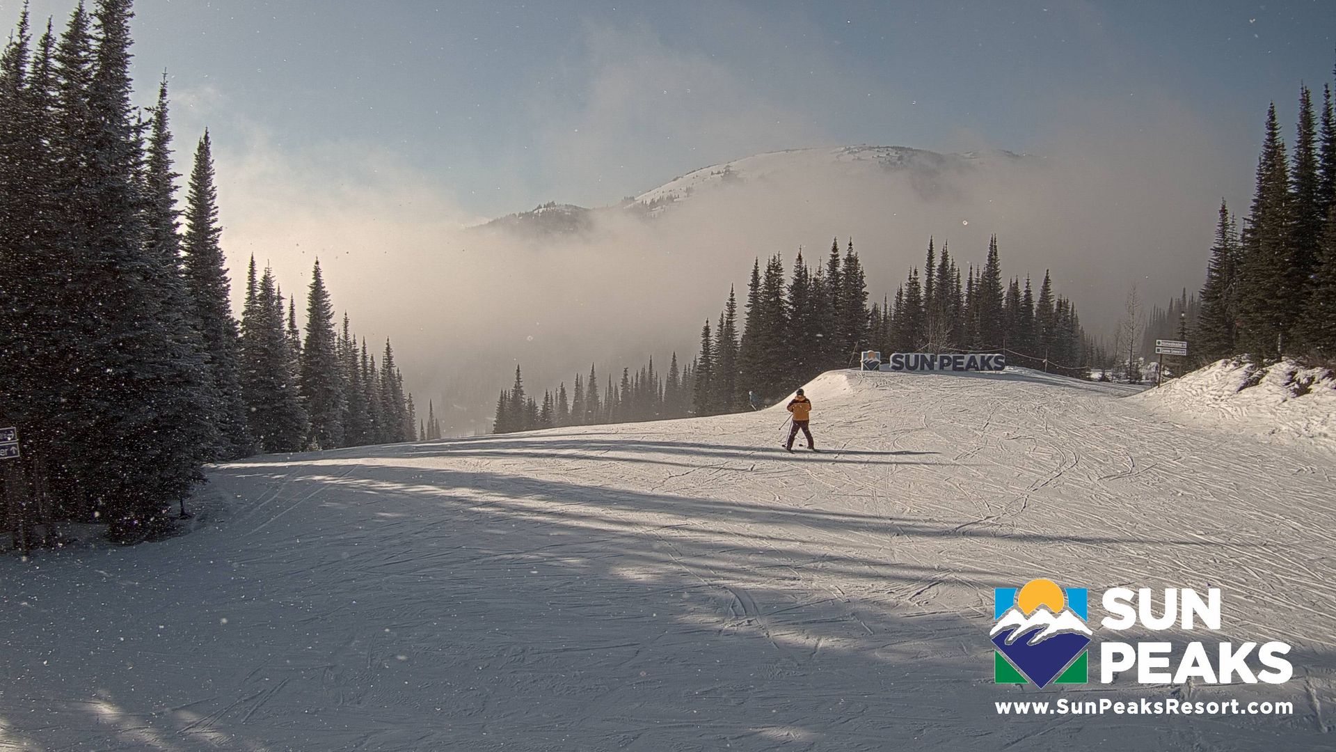
Sun Peaks Mountain Resort Municipality › West: Orient Quad Chair
4 minutes ago
Distance: 2.9 km
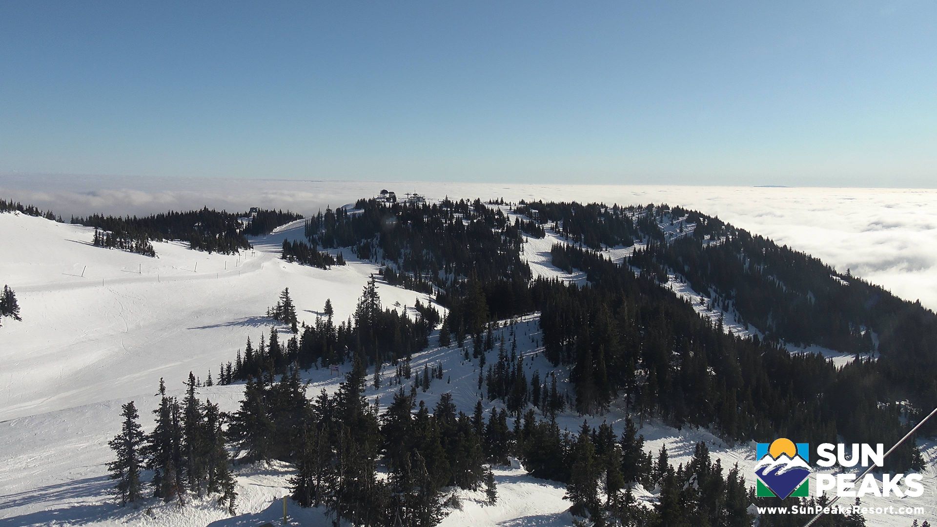
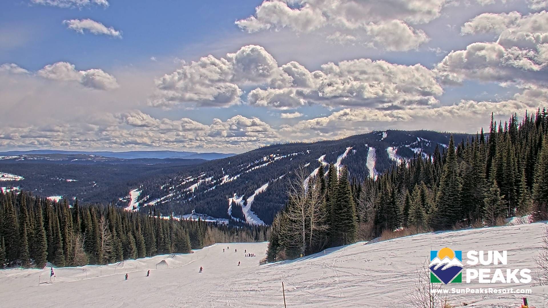
Sun Peaks Mountain Resort Municipality › South-east: Top of the World Sun Peaks
8 minutes ago
Distance: 3.4 km
Sun Peaks Mountain Resort Municipality › South-west: West Bowl Express Chairlift
4 minutes ago
Distance: 3.4 km
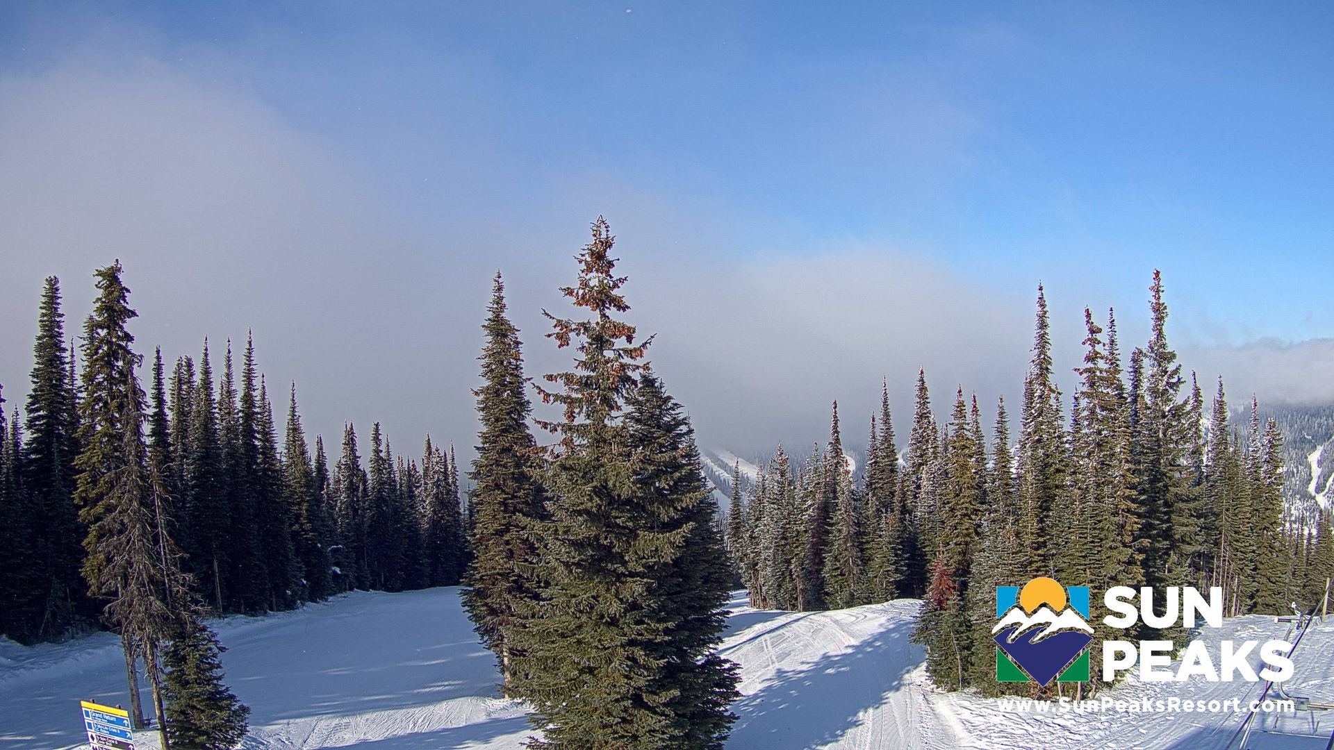
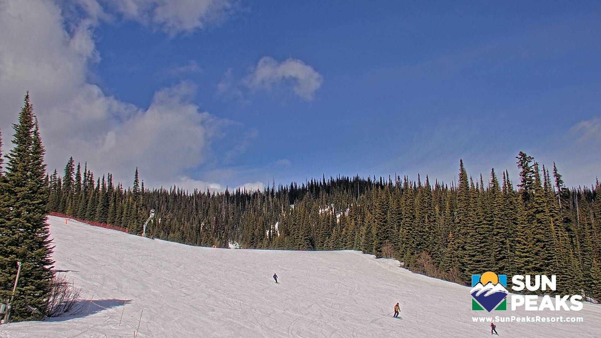
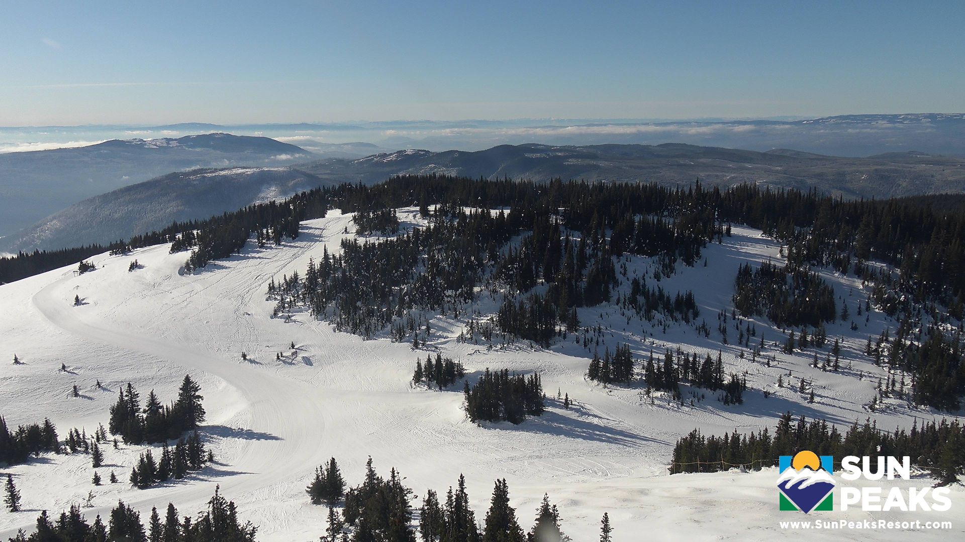
Sun Peaks › South: Sundance Express Chairlift
2 minutes ago
Distance: 3.6 km
Add new webcam
Webcams provided by windy.com


